Skip to content
    • About
    • Contact

Maribibi_travels

  • Coast 2 Coast walk, June 2024

    Jul 28th, 2024

    3 people and a dog, 198 miles, 2 weeks

    When Mike first suggested it, back in the summer of 2023, the idea of doing the Coast to Coast (C2C) walk sounded good. We (Mike, Richard, Jack the dog and I) had done the St Cuthbert’s walk in July ’23 – a week’s walking from Melrose to Lindisfarne) – and hadn’t fallen out.

    The C2C walk was devised in 1971 by Alfred Wainwright, of the Lake District fame, as ‘an encouragement and inspiration’ to all walking enthusiasts to create (“with the aid of maps”) their own long distance trails. The length of a daily trek is dictated by available accommodation along the route (unless you camp, and I’d rather not).

    Mike organised the logistics over the months while I was traipsing around the ‘Stans’ of Central Asia: route, maps, train tickets, accommodation that will accept Jack… We agreed on the use of a Sherpa company to carry some of the weight and lighten our backpacks. The charge of £15/per person/per bag /per day was prohibitive and we compromised: each of us put in a third of the 18 kilo allowance, thus lightening the daily carrying load.

    The Seacote Hotel in St Bees is busy from May to October – it is the base for the C2C-ers and bird watchers. The beach is shingle, and above it is St Bees Head, the start of the C2C.

    We took a small pebble from the beach at St Bees (as do all C2C walkers), and each of us carried it for a day, passing it to the next person at breakfast. The idea is to then throw it into the North Sea at Robin Hood’s Bay, thus linking the Irish and the North Seas (and, as someone said, confusing any future geologists). I couldn’t throw it away – it is pretty, and a wonderful memento. I did deposit it on the wet sand at Robin Hood’s Bay for a moment; it is now on my dresser :))

    The first day’s walk: St Bees Head to Ennerdale Bridge, 17 miles. It started well, even if the path did take us north-west (not east!) to start with, up from the beach to high on the cliffs, with views of St Bees behind, the sound of the sea below and the cries of guillemots, kittiwakes, gulls, above. Soon after the St Bees lighthouse (the light of which is visible at sea for 25 miles) we turned south-east, and then properly eastwards to Dent, the hill that “offers an excellent viewpoint” of the Cumberland plain and the Isle ofMan… The day was intermittently wet, the path overgrown and all the greenery dripping with rainwater. We did manage to look up occasionally: seeing the Fells in the distance is always a wonderful sight. The hawthorn was still in full bloom here, bridal white and smelling sweet.

    Despite a couple of guide books and the downloaded OS maps, the path is not always easy or obvious to follow. Signposting is of the ‘feast or famine’ variety: too many or none. We made mistakes, but we got to where we needed to be in the end.

    Crossing the gills time and again

    Ennerdale Water is beautiful, long, peaceful, surrounded by Fells and Crags, a Lakeland joy. We stayed at the Wild Wool Barn (basic but better than camping) on the north shore, which made our next day’s tranche to Rosthwaite easier – there is a proper road track, rather then a rocky, slippery-in-the-rain path that is on the south side. We stopped for lunch (a protein bar, some nuts and fruit, a cup of tea) at the Black Sail, England’s oldest and remotest hostel. It is a former shepherd’s bothy, that, like some stone age Tardis, can sleep and feed 16 people.

    Black Sail

    The five days of the C2C spent walking in the Lake District were wonderful, tough, exhilarating, blister-inducing, wet, spectacular, challenging, breathtaking, tiring but thrilling. I remember the Honister Pass from other times (when “doing the Wainwright”); the steep, steep ascent, the slate mine, the good feeling when you are past the worst bit.

    Ennerdale Water
    Helm Crag
    Flaming June????

    Patterdale to Shap was a tough 18 mile stretch, mainly because the weather turned poor soon after we left Patterdale. We did have beautiful views of sunlit Ullswater while climbing up towards Angle Tarn, and we turned to look often. Just as well, as once on the ridge, the wind blew a gale – strong enough to blow me off the path every now and then. The rain was just an additional meanness, stinging the face. Jack did not like it one bit; neither did we.

    Angle Tarn
    End of Haweswater reservoir

    Haweswater reservoir is very long, and after the scramble down the steep, wet and windy Kidsty Pike, the last of the Fells east, it felt even longer. The view of Shap Abbey was most welcome. Though we still had a few miles to go, the toughest bit was behind us. (And, arguably, the most beautiful, rugged and thrilling part of the C2C. )

    Shap Abbey
    Cows are very curious
    Bridge near Shap Abbey

    We stayed in a very nice, warm and dry Airbnb house in Shap, right opposite the Coop supermarket; that was fortunate as the local pub laughed in our faces when we asked if we could have a meal – it was after 9 pm. Pasta and wine from the Coop were wonderful, and our clothes and shoes slowly steamed away and dried.

    M6
    Limestone pavement
    A Mexican stand off (Jack not happy with bolshy sheep)
    Looks ready for a wedding

    The longest stint – 20,25 miles on paper – is from Shap to Kirkby Stephen. The path crosses the M6 motorway via a pedestrian bridge (unlike later on, going to Ingleby, when you have to take your life in your hands and run across the busy dual carriageway of the A19 – the safe crossing exists, but it is a couple of miles away…) The annual Appleby Horse Fair was coming to an end (we arrived on a Sunday evening) and all the pubs in Kirkby Stephen were closed to avoid any brawling. But the horses and caravans we saw on the move the next morning were beautifully kept and attractive.

    Keld
    Blind Gill and the Blakeswathe Smelt Mill
    Wain Wath Force on the Swale
    Lichen on ruins of the Smelting Mill

    There are two ways to get from Keld to Reeth along the Swaledale, and thence to Richmond: the easier one, along the picturesque river Swale, with watermills and photogenic cattle, or the high, scrambly one, passing the abandoned mines, the hushes and ruins of smelting mills. No prizes for guessing which we took.

    Old Gang Mill

    Richmond has a lovely position on the Swale. A pretty, prosperous, charming town, with enough history to warrant a several days’ visit.

    There were times when tiredness and slogging made us all a little short tempered and tetchy; it certainly got the better of me when we arrived at the village of Danby Wiske (14+miles – an “easy” day) and it became clear our accommodation was still 2,5 miles away… Directions for a shortcut path to Lovesome Hill Farm were obtained; shame on the farmer who not only has not cut the nettles, brambles and chickweed on the path, but has also placed barbed wire fence really close to it. Then the path completely disappeared -just acres of green wheat fields. This was day 11, and fatigue, weather, painful blisters and achy back took their toll. When we finally made it to our destination, we were all relieved – including Mary, our hostess. My “being awkward” prompted a suggestion that the next day I might be better off taking a taxi to Osmotherly, our next destination… This, of course, was never going to happen. We set ourselves a challenge, and WE would complete it. Not least because I was hoping to raise £1000 for the NSPCC charity (link at the bottom :))

    The path (with Richard in it!)
    Always fun to watch
    Mary, Lovesome Hill Farm
    Very random
    The sea – and our goal – in the distance

    The Yorkshire Dales and Moors have a beauty of their own. Wide, open, mysterious, perilous, inviting, undulating towards the sea. The path along the disused Rosedale Ironstone Railway Iron works seemed interminable. Even when we could see the Lion Inn, alone on the High Blakey Moor, it looked unreachable… One of the longest 21 mile days. Not to mention the hail, which made Jack hide under the heather canopy, looking up at us perplexed, wondering why we were not doing the same. Jack is lovely and lively, enjoying the countryside and rolling in the heather. He has been a real helpmate when going uphill (he pulls), though less so if there are sheep to stalk, or holes to stick his head in, or water to bark at…

    Our path
    Colour and beauty on the Moors
    The Lion Inn on Blakey Ridge
    On the Moors
    C2C elegance
    Rabbits? Badgers?

    Rather than stay in Grosmont (limited accommodation), we took the evening train to Whitby and made our way back on Sunday morning to complete the walk to Robin Hood’s Bay. Those last 15 miles are very varied: a long haul of more than a mile uphill from Grosmont, then through dreamy looking woodlands, past a Hermitage, along the Little Beck and the fairytale gorgeous Falling Foss waterfall. More forest trails (and muddy, muddy paths) until the road is crossed, then heather and bog. Even the guide book says it is ‘boggy, then very boggy and it gets boggier still’. For 3 miles. And of course it rained. But as we approached the Coastal Path at Hawsker that eventually took us to Robin Hood’s Bay, the sun came out. The sea was blue, the views marvellous.

    Boggy
    Very boggy
    Boggier still
    Rain stopped and we had lunch at Hawsker
    On the way to the Coastal Path
    Not far now
    Robin Hood’s Bay
    Aaah
    We did it!

    The fish-and-chips supper at Whitby, some bubbly and the prospect of no more than a mild sightseeing of the Whitby Abbey the next day before travelling south. What a journey; we shall not repeat it, but I’m glad to have done it. The countryside is beautiful, even in the rain and hail; the physical challenge is fairly major, and completing it gives a great sense of achievement. We met interesting people on the way – Dane, who was doing the walk for 2 charities and had only brought with him shorts (‘I’m from Exeter!’), while the weather barely reached 15 degrees on most days; Mark, who had to take his walking boots off every 3 miles or so and air his feet, else he had real trouble; Nicole, who was doing it on her own, as her 40th birthday treat (!!! – and I dislike the excess of exclamation marks)…

    Whitby Abbey
    Whitby harbour

    On the trains back, we talked about what could we do next. The West Highland Way was mentioned. It is only 96 miles…

    https://www.justgiving.com/page/maria-steele-1715895537704?utm_medium=fundraising&utm_content=page%2Fmaria-steele-1715895537704&utm_source=copyLink&utm_campaign=pfp-share

    Above is the link to my Just Giving page for the NSPCC (National Society for the Prevention of Cruelty to Children), should you feel able to contribute. I am immensely grateful to all who have supported me with good wishes and the charity with donations.

  • Bishkek and the mountains

    Mar 25th, 2024

    Kyrgyzstan, like Tajikistan, is more than 80% mountains, many of them over 3000 meters high and the highest reaching over 7000m (within the Tian Shen range, near the Chinese border). Some of the hikes are easily accessible from the capital Bishkek – such as Ala Archa, where I went with Shamil the guide. (A great recommendation from the Tourist Office within the Bishkek History museum.) I only had just over a half a day available (had a ticket for the ballet that night) so we couldn’t go too far. An hour’s drive and we were in the foothills. The path was well used, if frozen and slippery, and Shamil produced a pair of chains to attach to my boots. A few yards into the walk we were welcomed by a red squirrel and a flock of very friendly tits. Shamil had brought some sunflower seeds for them and there was a feast.

    Shamil
    Chains on!
    We met more than a dozen climbers who were going to spend a couple of weeks up in the mountains
    The river ran fast and beautiful
    In the small museum attached to the ethnic restaurant, Saporu

    On the way up we met (well, were overtaken by) a number of climbers with enormous rucksacks on their backs. They were going up to Uchitel’, one of the peaks, and were going to spend a fortnight trekking. Shamil was planning on climbing up the next day to spend some time with them.

    The trip to the two waterfalls and to lake Issyk-Kul (south side) , the second highest above-sea- level inland water after lake Titicaca, was an all day trip that started at 6 am, in the dark, and snow falling. The two waterfalls were both frozen and the walk to them was a bit of a challenge through knee-high snow (and falling). Good fun though.

    The Fairy Canyon is a pretty area of erosion and water shaped forms. One could easily spend hours wondering around. The Issyk-Kul lake changes colour with the weather. The beach felt muddy and cold but one could see why it was so popular with the Kyrgyz – after all, theirs is a landlocked country and Issyk-Kul the closest to what a sea offers.

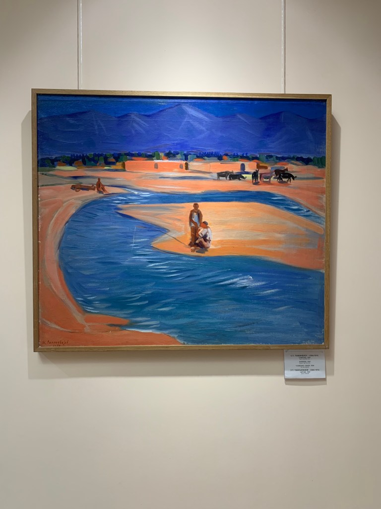
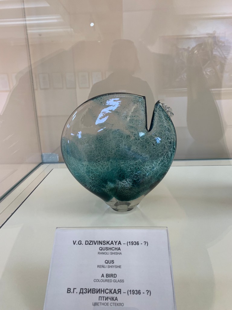
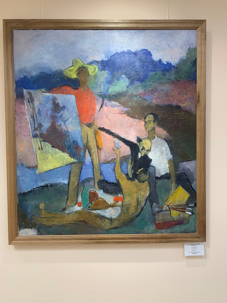
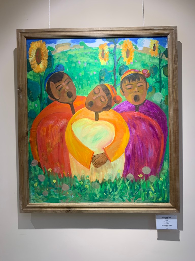
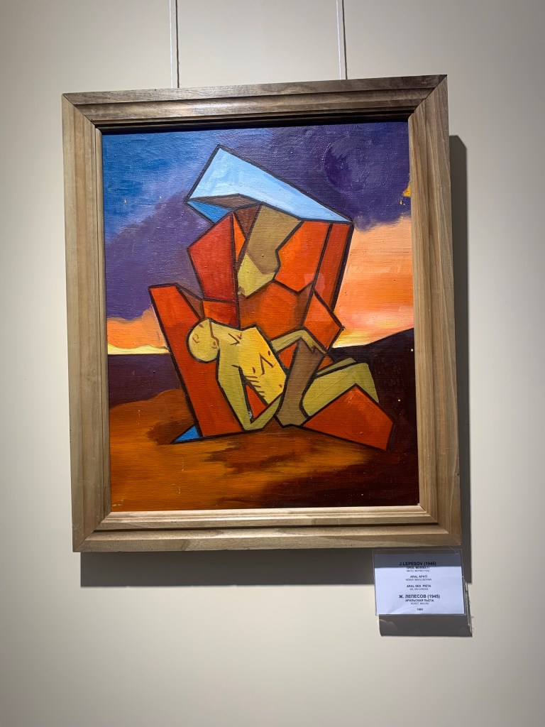
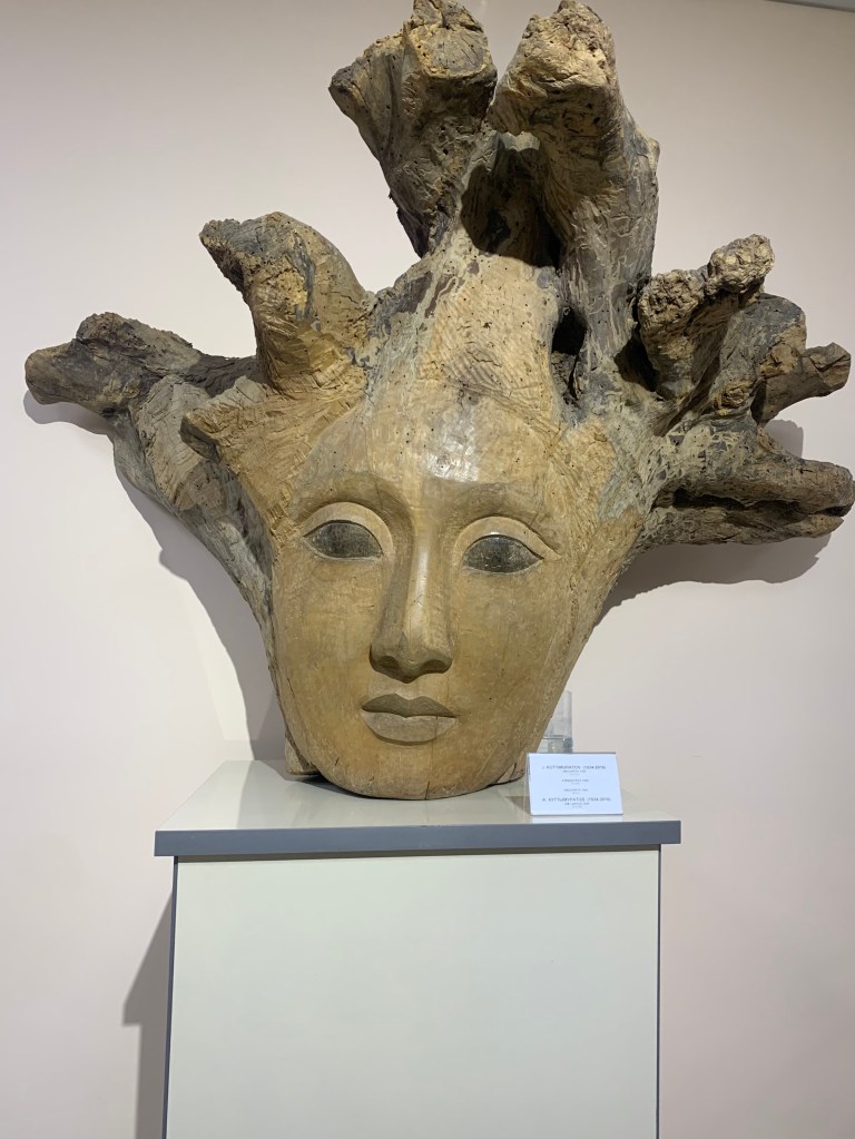
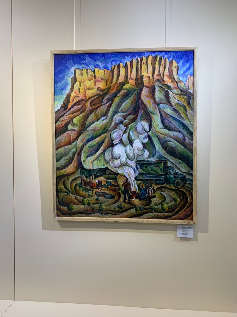
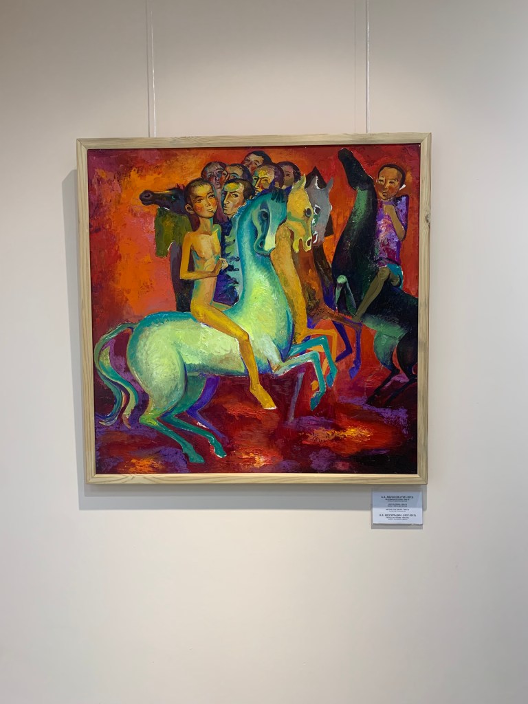
    The Bishkek Art Museum has been given a “starter” stock by the Soviet authorities in the 80’s – the Bradt Guide wryly comments that the St Petersburg museums were hardly going to miss any of these works. But I found I liked a few of them.

    The happy washerwomen in a Soviet future
    The school visit: everyone was taking photos of artworks
    The Greek victory statue behind the heroes of the 5-year plan…
    There’s definitely a story here, looking at the bride’s face
    Don’t think he’s winning

    The ballet I went to see was in two parts, classical and modern, both with references to spring. Not many tickets had been sold, so a group of soldiers on national service was brought in. They clapped very enthusiastically.

  • Khazakstan (in winter)

    Mar 19th, 2024

    ALMATY

    Almaty is only a few hours by car from Bishkek, the capital of Kyrgyzstan. On the advice of Shamil, my guide on the hike to Ala Archa (close to Bishkek), downloaded InDriver, an app which gives you an option to offer how much you want to pay for the car journey. It requires some knowledge of what a reasonable cost is (I ask locals) and gives you more options. (Yandex is the Uber of Central Asia and I have used it extensively. It helps being able to say you have a ride when you get out of an airport or a railway station and all the taxi drivers descend on you like vultures on a carcass.)

    The quickest way across the border is on foot. Cars on a busy crossing, such as Korday, 21km from Bishkek, sometimes wait for several hours to be checked. On the Khazak side, shared taxis await. On this occasion, we were three women who decided to share the cost of the fourth person – faster than waiting for the fourth, and more comfortable.

    Almaty was the capital of Khazakstan until December 1997. It is the largest city in Khazakstan (over 3 million inhabitants, to Astana’s 1,5), built in the foothills of the mountains and it has a cosmopolitan feel. Cafes and European shops are everywhere and the city has a very young vibe – lots of students.

    On the road from the border to Almaty
    View from Kok Tobe over Almaty
    Beatles sculpture on Kok Tobe
    Ascension Cathedral
    Arisan Hamam
    Museum of History

    Walking is an option, but the town is large and buses plentiful and cheap. (For the time being, one can still use cash on Almaty buses, though most people have an electronic ticket on their phone – the Kaspi app is their way of paying .) Plenty of monuments and parks and lots of cafes to rest weary feet. And, of course, the opportunity to ski right above the town.

    Alma= apple
    WWII monument at the back of the Ascension Cathedral
    To the victims of the uprising
    Independence monument
    8 March – Women’s Day – flowers on EVERY corner
    The Philharmonic
    Good après ski

    The one trip I took outside Almaty was definitely worth getting up for early – to the Charyn river canyons. A crisp, beautiful day, a good hike down through a lovely, easily accessed canyon to where, as one tourist said, “rechka bezhaet” (the river runs). On the way back from the river, I took a shortcut up the steep hillside to get to the panorama viewpoint, and the ranger, who thought I was over ambitious in attempting the climb, sent a drone up to see I was ok. The canyon that is walkable is the oldest – some 27 million years to carve it, but the same river is still working at it and there are 2 “younger” canyons (c. 23-25 million years) we saw from above.

    KARAGANDA

    Why Karaganda? people ask. Because I wanted to see a place that has figured much in Stalinist USSR, the place where thousands of people had been sent to work (and perish) in the coal and copper mines, from the 1930s to 1960. Karaganda was the distribution centre for the Karlag – the Karaganda Gulags. The museum in Dolinka is housed in the former Karlag administration building and though the display is sanitised and “presented”, the horror of the concentration camp seeps through. The bleakness of the area around the building, the emptiness and the cold, the occasional heap of the open-cast mine and a chimney here and there, make it clear even today that this was not, as the Soviet rule claimed, a re-education centre.

    The Chaika hotel
    The Miners’ Culture Hall
    Mosaics of the bright Soviet future
    The steppe outside Dolinka village
    The Dolinka Karla Museum – former admin for the concentration camps
    “Soviet government does not punish, it corrects”
    Monument to the miners of Karaganda
    Blabbing helps the enemy!
    A pilot hero who ploughed his damaged plane into a German column

    I did manage to hear a concert in the Miners’ Culture Centre hall and had a comfortable stay in the hotel Chaika (The Seagull – as the Bradt guide puts it, it must be the furthest seagull from any sea) before heading to Astana. Chaika was the place where the astronauts would come to rest after their space flights – on the walls there are signed photos of Gagarin, Tereshkova… (I would like to have gone to Baikanur, the space port in Khazakstan, but the tours were all booked – there is a planned launch in March. Also, the area is under the dual Russian-Khazak ownership, meaning I would have needed a Russian visa.)

    ASTANA

    The train journey from Karaganda to Astana took some 4 hours and I had a 3rd class coupe to myself. The train tickets are cheap and the train journeys popular – certainly more comfortable (and less hair-raising) than a bus. Astana started life as a Russian fort in the 19th ct and later a Soviet administrative post in the ill-thought through Virgin Lands Campaign instigated by Khrushchev – trying to make the steppe into grain-producing fields. One of the reasons mentioned for the move (1994 – 1997) was that Almaty was very close to the Chinese border… There have been several changes of the name – Akmolinsk, Tselinograd, Akmola, Nur-Sultan… Astana means the Capital in Khazak. It has developed rapidly, with oil money being spent freely and the centre is a display of bold modern architecture. I can’t help thinking that it feels like an upstart, a nouveau riche to Almaty’s old money, all bright, angular, shiny, showing its wealth in the planned design (by the Japanese architect/planner Kurosawa Kisho) and in hiring the best architects the money could buy (including 2 major buildings by Sir Norman Foster). The Ishil river is central, with the right bank being the old part of town and the left, new.

    The Khazaks are very keen to attract tourists and there is much to see and do – especially if you come in spring or summer. I just wish tourist information was more readily available – no tourist office as such, though I found one inside the Beitarek, the symbol of Khazakstan (the tree of life with the egg of renewal on top); very few places to top up your bus card – a passenger on a bus took me to purchase the card at a counter inside the circus building… And unless you have the Kaspi app, finding a machine to top up is a needle-in-a-haystack exercise.

    But I really enjoyed several trips to the opera – a Khazak opera Kyz Zhybek; a traditional singing celebration of Nowruz, the Spring festival based on the Persian solar calendar and a ballet, Sherezade.

    The trip to Borovoe – or Burabay resort: the Kahazakstan’s reply to a Lake district. The high season lasts for some 5 months – and March is not in it. But it was fun walking on the frozen lake and through the pine and birch woods. And I met Nazgul’ , an English teacher, as she was helping prepare iftar (an evening meal to break the Ramadan fast). Khazakstan is vast, and I have barely scratched its (icy) surface.

    (I went to Turkistan, south Khazakstan, on a trip from Kyrgyzstan, and as it was a bit different, I thought it deserved its own space.)

  • Kyrgyzstan

    Mar 11th, 2024

    Osh was the place I headed towards from Andijan, Uzbekistan. (Andijan is the home to the Chrysler car plant in Uzbekistan – no wonder everyone drives a Chrysler.) The large group of Bokhara men who had arrived on the same train was going through Kyrgyzstan to Irkutsk, Russia, to work for Gazprom. It was going to be a busy border crossing. =

    Osh is in the foothills of the Tian Shen mountain range: an ancient town that marked the halfway point between Europe and Asia on the Silk Road. It must have been a relief to come safely through the high passes into the Fergana Valley, one of the most fertile places on earth. The Suleyman (Solomon) Mountain above the town is a series of crags rising steeply from the floor of the valley. The story is that the Muslim prophet Suleyman’s grave is here; there is a small mosque and many Muslims make a pilgrimage to it. It is also a beautiful spot from which to view the the town and the valley beyond.

    A woman overtook me, smiling, on the climb up to the top of the Suleyman Mountain; there she was again, lying on the stone which is said to have magical qualities and certain wishes to come true if you slide down it. I was not going to miss that, so I asked if I could have a go – and it was the beginning of a new friendship. Akkuu (it means White Swan in Kyrgyz) lives in Bishkek but was in Osh visiting her husband’s family. We spent the rest of the day together, had dinner in an Italian restaurant and got to see a comedy show with music in the Grand Theatre (half of it, my Kyrgyz being nil). The next day, with the help of her aunt-by-marriage, Chalpon (of whom more later), we took a trip out to a beautiful waterfall, Abshyr Ata – another place of pilgrimage.

    Auntie Chalpon, Akkuu
    The cave opposite the waterfall
    The climb up to the waterfall – icy and pretty
    The canyon into the tian-Shen mountains

    Rasul, the owner of the Eco House hotel where I stayed, came up trumps: I’d asked if he knew where I might be able to see KOK BORU, also known as ULAK, the horse-mounted sport (the forefather of polo) played in several Central Asian countries.(I had tried to find a game before, all without success. It looks like you need to know someone who knows someone who is in the game, either as a participant or a sponsor. (Considering how many people were at the game, and many coming from a long way off – we saw a number of lorries transporting horses on the road – the word of mouth is strong.) Nookat is a provincial, agricultural town, some 50 miles from Osh. Winter is the time when KOK BORU is played in villages, when there isn’t much work to be done in the fields. Having only read about the game in the guide book, I wasn’t sure what to expect. My guide, (also Rasul) was a former policeman, a former customs officer and a current teacher of Russian; also a farmer, a former KOK BORU player (and probably a few other things he had not mentioned). We were driven by Temir, Rasul’s friend, in a Lexus (higher off the ground then the Lada we started off in, needed on the country roads).

    uGoing to take part in the kok boru
    A prize
    Rasul, my guide

    The first view of what I had come to see was a far-off long, dark, shifting stain on the white snow of the wide plain. As we got closer, the movement became clearer and then one could see individual riders within the melee. The whole moved like a swarm, the riders (both players and spectators) following the key man, the one with the goat’s carcass tucked on his saddle. His aim was to get the goat to the truck which served as a goal, a royal box, a commentary box and a drone control centre. (I had been hoisted onto the truck pretty fast as the space in front of it was suddenly overrun by horses – Rasul took his responsibility for looking after me very seriously, and I was glad to be out of the way.)

    The game in progress
    One of the spare goat carcases
    The compere – a local man
    One of the winners – just delivered the carcass

    The Kyrgyz say they are “born in the saddle” – they virtually learn to ride before they can walk. Looking at the way horses and riders seemed to be one here proved the point. The game has been used to train the horses (and riders) to be fearless in battle. Women are not present (I was the only female there). Between each bout there were dedications, prayers, a bit of entertainment in the form of a dombra player and singer; when he played a well-known humorous song, money was tucked under his hat. The game keeps on being played until all the prizes have been given out. (Any rich person can sponsor a game and provide the prizes. Players will come.) On this occasion, there were some 30-40 colts, several camels, money, a car.

    The dombra player, wearing a kalpak (Kyrgyz felt hat)

  • Tajikistan

    Mar 4th, 2024

    Took a taxi from Samarkand, Uzbekistan to the Tajikistan border – an easy, straightforward crossing. Panjakent, Tajikistan, is a provincial town that would be no different to any other, were it not for two important archeological sites: the ancient Panjakent that was a flourishing Sogdian town (by now, the names of various khanates, emirates, empires and kingdoms do roll off the tongue) in V-VIII centuries (until the Arab invasion); and Sarezm, which “dates back to the 4th millennium BC and is today a UNESCO World Heritage Site“. Ancient Panjakent was abandoned suddenly (in the face of fierce attacks) and never rebuilt – some therefore call it the Pompeii of Central Asia. (Most of the best preserved and important items have been taken to the Hermitage by the Soviet archeologists who worked the site in the 60’s andd70s. A few items are in the Dushanbe National Museum.) I climbed the two hills old Panjakent was built on and even my imagination had difficulty seeing it in its heyday. Sarezm is “of great interest for archaeologists as it constitutes the first proto-historical agricultural society in this region of Central Asia” (Wiki). 

    A few reconstructed walls at Panjakent ancient site
    Ancient Panjakent
    Sarezm -5000 years of history
    The most intriguing space in Sarezm
    Zoroastrian followers – a fire in the middle of every area

    But the trip to the Seven Lakes (HAFT KUL in Tajik) in the foothills of the Pamir range was terrific (and terrifying): Rohim, the taxi driver, owns a Mercedes automatic (with summer tyres) just fine for dry, asphalt roads. The road to the lakes is a narrow, rough, unpaved snake, strewn with stones fallen from the sheer mountain sides, riddled with potholes and having bite-shaped chinks missing on the steep slope to the lake side. There was also snow, and on one hairpin bend Rohim had five goes before making it over the icy bit. The road goes along the canyon of the river Shing. There is a gold mine and an ore processing plant a third of the way up – there was a lot of dust on the way – and silt and waste from the processing go into the river. Higher up though, the water is pristinely clean. (We took with us a dozen or so plastic gallon containers to bring back fresh water from the top lake for Hajji, my host.)

    The gold mine nearby
    Going home
    Cliffs to one side, drop the other

    The first lake is called Eyelash, because of its shape; the second is Soja – Shady; the third is Gusher – Nimble; the forth is Nofin – belly button; the fifth is Churdak – Small; the sixth is Marguzor – Blossoming Place; the seventh is Hazorchasma – a 1000 springs.

    Life in the mountains has a different, much slower pace. Yes, there are satellite dishes and mobile phones, but laundry is still done by the lake, the most reliable transport is by donkey, and visitors are still interesting enough for the children to gather and watch.

    I took the shared taxi to Dushanbe – a little more expensive than the marshrutka minibus but much more comfortable. Hajji, the owner of the hotel where I stayed, organised for the taxi to pick me up at the hotel and Hajji made sure I got the front seat, so no squeezing in the back (and it was a squeeze: 3 people and a baby.) It is a 3,5 hour journey on a good road through spectacular mountain and canyon scenery along the Zarafshan river.

    Dushanbe is a young capital. There is little to see from before the beginning of the 1930’s – the town is all Soviet central planning snd building – and nowadays they are getting rid of some of the heavy Soviet constructions. There are many parks, squares and fountains (though all water features were wrapped up against the frost). And plenty of sculptures and monuments: every town has the statue of Ismaili Somoni, the 10th century emir, seen as the father of the Tajik nation; and the poet Rudaki is honoured in statue and park and street names.

    The forever president of Tadjikistan on every building
    Ismaili Somoni
    The president and the future president (his son, currently the mayor of Dushanbe)
    Rudaki

    The electronic display outside the Ayni Opera House advertised Tchaikovsky’s Idomeneo among other things and I thought, yippee! The lady in the booking office was very sorry, but the opera had been cancelled (no reason given). But I could go and see a musical drama for children the next morning… so I did. The Rabbit with His Nose in the Air (in Russian) was a (cautionary?) tale of the downtrodden and frightened animals who manage to outwit the ruler Lion (who wants to eat one of them). Thought there may have been a subtle lesson in it to teach the children how to get rid of dictators… The music ranged from Enio Moricone’s The Good, the Bad and the Ugly to the Sugar Plum Fairy. The theatre is a nice neoclassical building from the 1940s. Not far from the Ayni Opera House is the National Museum of Antiquities where the pride of place goes to the Sleeping Buddha, at 16m the largest statue of him in the world (since the destruction of the Bamiyan Buddhas in 2001). Lots of other interesting exhibits, but not many of them have an explanation in English (and even Russian was scant). I found the polystyrene pieces holding parts of antiquities up odd – as if temporary has become permanent.

    The foyer of the Ayni Opera
    The primary school children seemed to enjoy the show
    It rained incessantly for two days in Dushanbe
    NOT a gym weight but a grain grounder
    Think they are grave stone inscriptions – in Kufi, Arabic, Persian
    A X ct reconstructed piece of ornamental decor

    Left Dushanbe in the rain to fly to Khujand (near the Uzbekistan border, as I needed to dip into Uzbekistan to get to Kyrgyzstan – the land border crossings between Tajikistan and Kyrgyzstan are not open to foreigners as yet). Khujand welcomed us with snow – though the locals kept saying “it never snows here”… The bazaar is, as always, a place of colour and movement, hawking and fascination.

    Arbob Cultural palace is a wonderful oxymoron: built in the early 1950s, to be used by the workers of the kolkhoz/sovhoz as a place for meetings and entertainment, it is based on the tsarist Winter Palace in St Petersburg. The driving force behind the construction was a local Tajik, Urukhoajev, the leader of the collective farm and a member of the Soviet leadership in the area (it seems even Stalin respected him – when the order had been given that everyone had to wear a military uniform to Soviet meetings, Urukhoajev was permitted to wear the traditional Tajik clothes). The palace has been built with local labour and local artisans did all the decorating – from woodcarving to painting intricate designs on ceiling panels, to stone and plasterwork statuary. It is now a museum, but also used for special state occasions – and for wedding photos.

    I spent a day in Margilan, Fergana Valley, THE silk town in Uzbekistan. The town is synonymous with silk production – the Yodgorlik silk factory still uses traditional hand-weaving method for some of its products, and it is fascinating to watch the women work (women weave, men dye the silk thread). The Institute for the Research of Natural Fibres showed me around too – they investigate and test which mulberry trees (and there are quite a few varieties) produce the best leaves-food for the silkworm, and through selection and feeding of worms work out which produce the best and longest thread – some cocoons will have more than 2000m of silk thread.

    The feet dance the pattern, the hands firm the weave
    The various cocoons from various mulberry trees
    Raw silk

    Getting the ticket for the train from Margilan to Andijan (a 45 min journey), close to the Kyrgyzstan border, was a lesson in patience. I inadvertently got to the ticket office at 13:40, so it was closed for lunch (a lot of public service places close for lunch between 13:00-14:00 in these parts). Went and had a cup of tea and got there soon after 14:00. The queue (a loose term) seemed long and it was a nice day, so I went for a walk. By 14:30 the queue had not changed much (still the same 5 people) but I thought I’d give it a go. By 15:00 I could ask for a ticket, only to be told that it was a local train, leaving at 07:00 and to come buy the ticket in the morning before I got on… Managed to persuade him that he could issue me a ticket as I was there.

    The Margilan railway ticket office
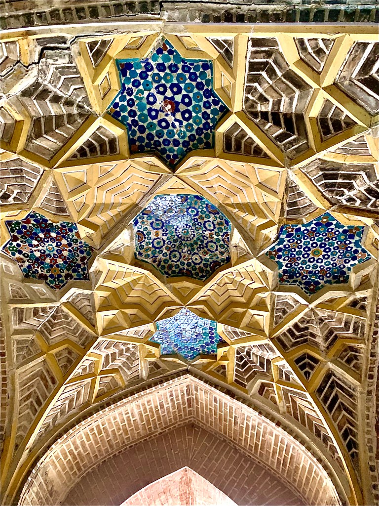
    The ceiling at the train stations
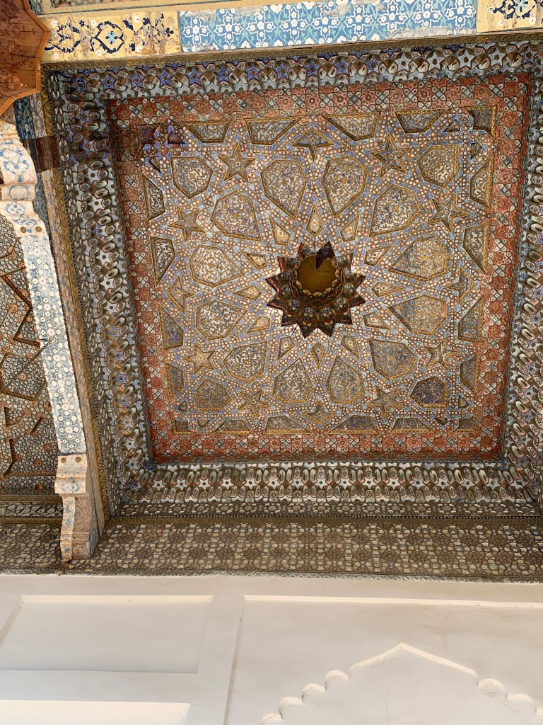
    The bread all looks lovely – and like the ceiling
    The tourist office in the railway station – not sure when it was last open
    The overnight train from Bokhara to Andijan
    The wagon was full of men from Bokhara going to work for Gazprom in Irkutsk

  • Six days in Turkmenistan

    Feb 21st, 2024

    (The process to enter Turkmenistan started well before I left the UK – one cannot visit the country without a Letter of Invitation (LOI), usually provided by a travel agency which then also organises the visit in full. The letter is valid for a month and the transit visa gives you 6 days within that month. The trip is not cheap, especially if it is for one person, as in my case. Owadan Travel is a government approved agency and Saray, the lady with whom I dealt online, has kept me informed throughout. I was initially taken aback when I was told that they would only accept cash payment (in crisp $ notes) . Carrying $2500 – $3000 in cash around Central Asia for months was not an option. On arrival in Ashgabat, my guide took me to the Central Bank to get the cash. I visited their offices and met the owner and members of staff, was shown their little ethnographic museum and given a small present.)

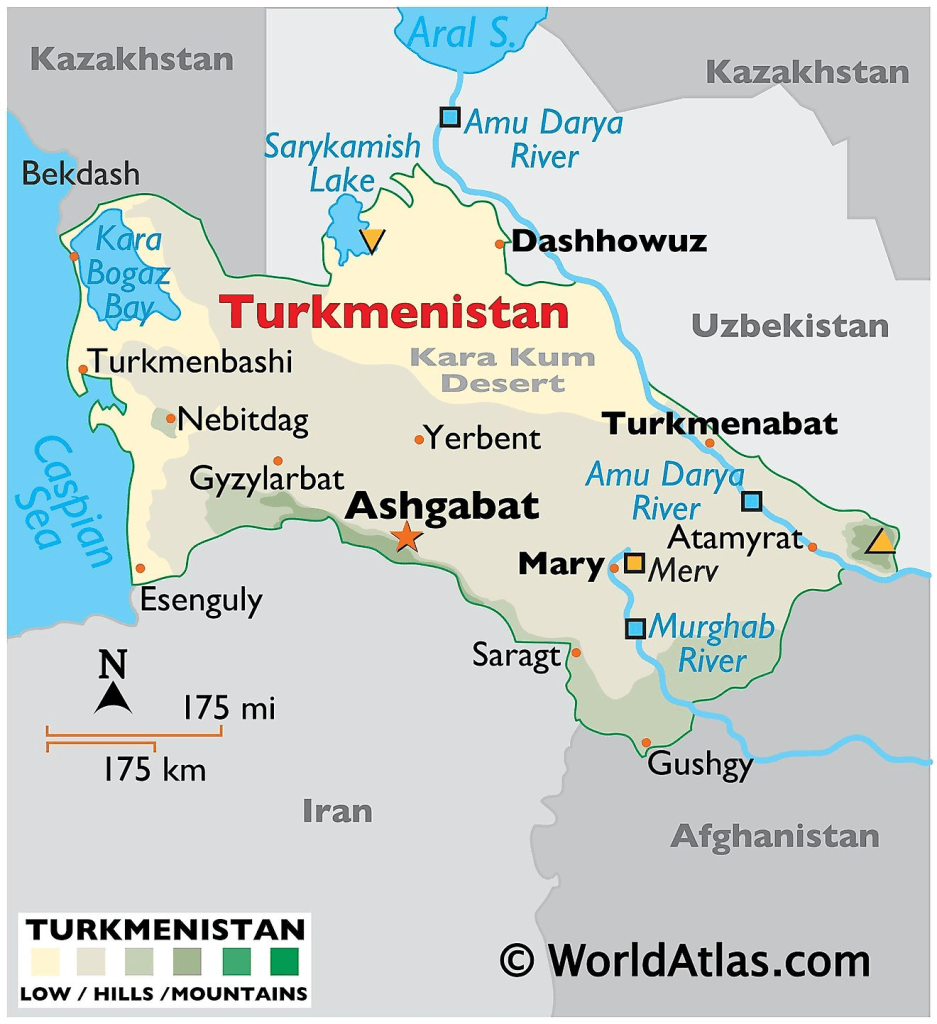
    There are no direct flights from Baku, Azerbaijan, to Ashgabat and the Caspian sea port at Turkmenbashi is closed to tourists. Thus, a change of plan and “doing” Uzbekistan first, so I could use the land border crossings. The crossing at Shavat (Uzbekistan side, not far from Khiva) wasn’t very busy at 09:30 am (it is open from 09:00 – 17:00). Just a dozen of us, with me the only non-local – and once the passport was stamped and the luggage put through the scanner, I could walk towards the no man’s land. Beyond the Uzbekistan border fence there was an old commuter type bus, battered, mauled and scarred, likely from the Soviet times, but I was truly grateful that I wouldn’t have to walk the mile or so to the Turkmenistan border fence with my luggage on my back.

    The very young Turkmen soldier (military service is obligatory for men at 18; they can defer it if they go to university but need to do it after) took my passport and the LOI and passed it on to someone else… It took about an hour, some 8 people, including my guide (who was called by one of the 8), a doctor (to do a $33 PCR test), various small window counters, old technology, various bits of paperwork, the payment… and I could finally put my luggage on the scanner. Having read about people’s bags being searched to the last pocket and seam, it was a pleasant surprise when the officer said “welcome to Turkmenistan” and asked, smiling, if I smoked, had any codeine based drugs or heroin.

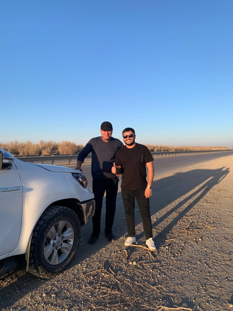
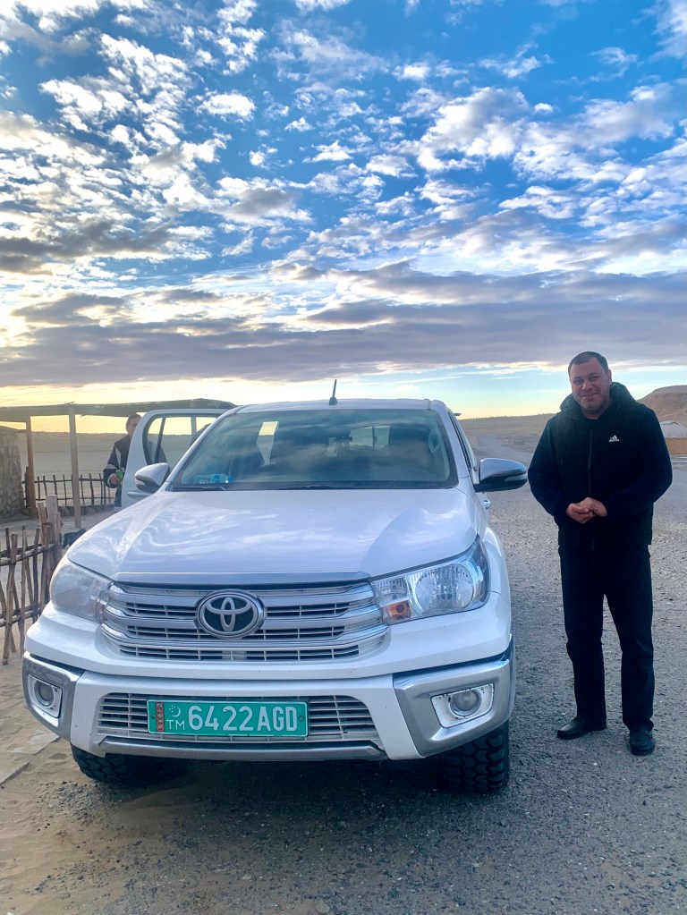
    Mekan, the Owadan Travel guide, is a 25 year old English language and literature graduate (studied in Turkey) who can guide in English, Russian and Turkish. Guwanch, the driver of the gleaming white Toyota Hilux, looked a little apprehensive when I usurped the front seat – until he realised I spoke Russian – he then visibly relaxed. He is a good and conscientious driver (seatbelt on at all times!) and we got on very well. (I called him “my hero”, after a particularly scary road bit was negotiated with panache, and he remained “Мой герой” (Russian for ‘my hero’) throughout. I was presented with a lovely box of chocolates by him – he did say this was the first time he ever bought anything for a tourist.

    Guwanch and Mekan and the trusty Hilux

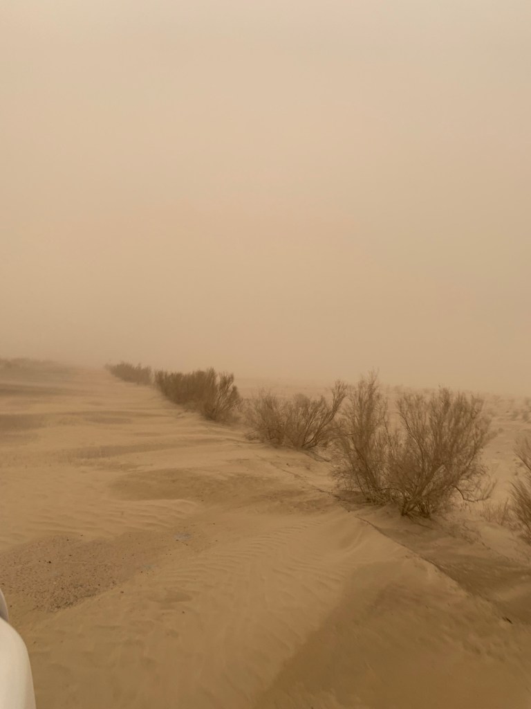
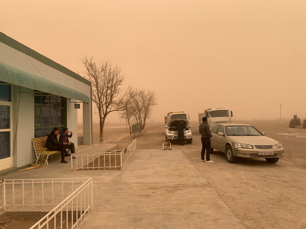
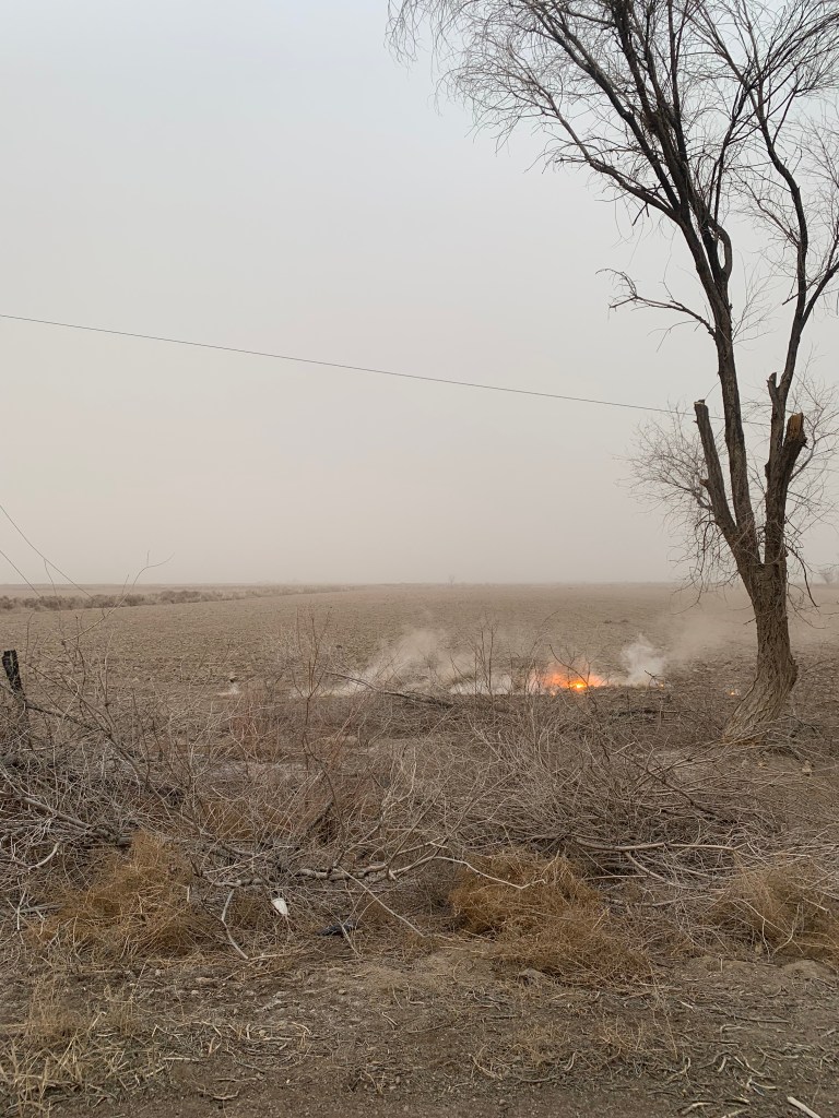
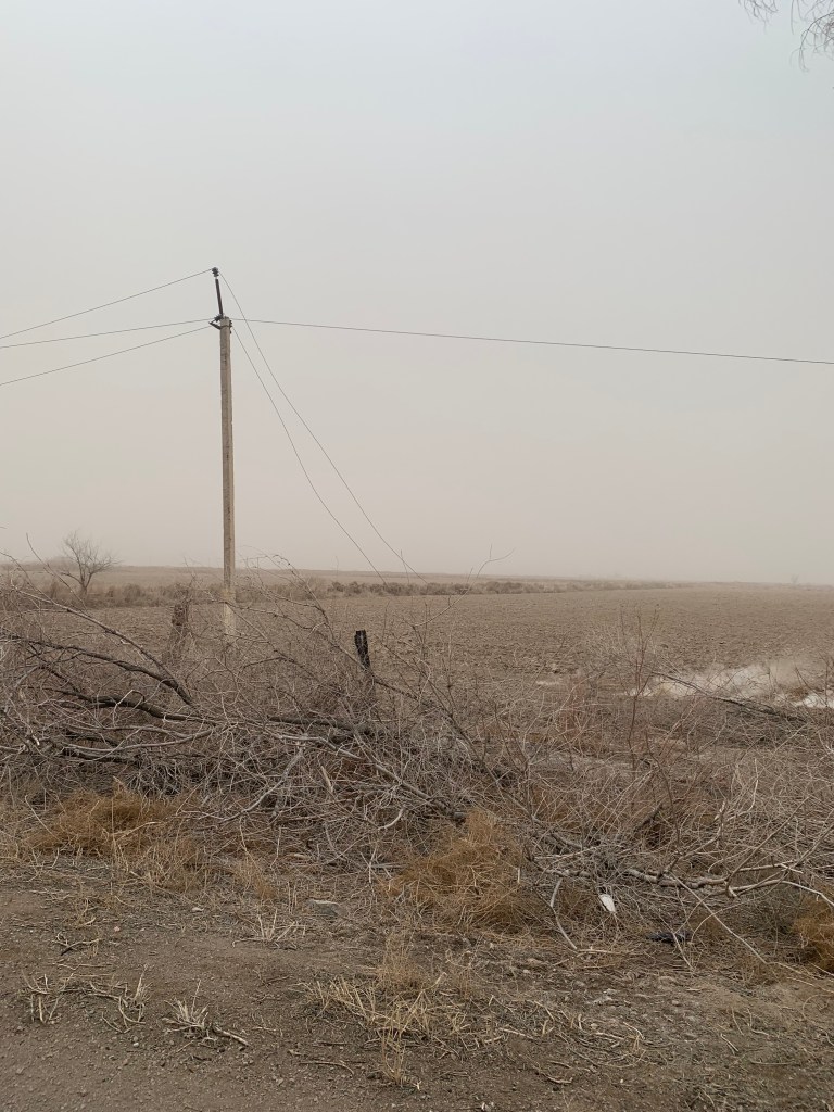
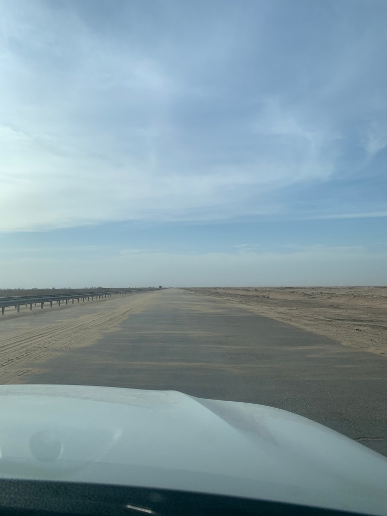
    The roads are abysmal. Rutted, potholed, scraped, ploughed, furrowed, scarred, disappeared. The dual carriageway (not always dual) was used on both sides in both directions as each driver tried to find the least damaged bit to drive over. We drove on the right and on the left, overtook on any side, went off road when that was the least awful part. Guwanch manoeuvred the 4-wheel drive Toyota Hilux with (new) heavy duty winter tyres with skill and panache – he had a schedule to keep (to get me to all the places on the programme – we did 310 km on the first day). That day, the wind was up, the sand carried across the road in gusts as blinding as a sudden fog. We saw a tree brought down by the wind that crashed onto the electric wires and broke them – it looked like the ground was burning and Mekan called the provincial fire brigade to tell them about it.

    My hero – Guwanch and his Hilux
    The last supply shop and loo for 100+km across the desert

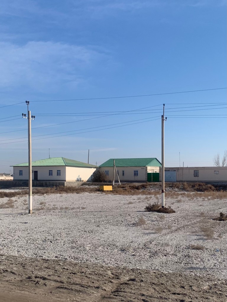
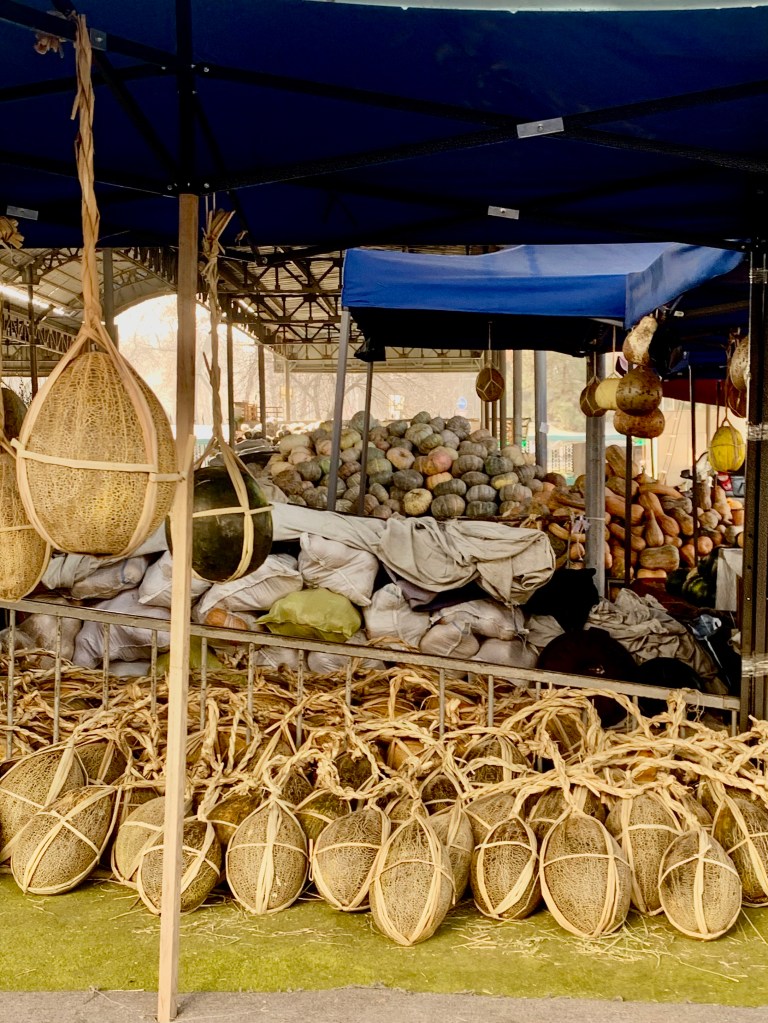
    Turkmenistan is 80% desert; its riches, the natural gas, the minerals, ore, are all underground. The soil is salty. I thought at first it was hoarfrost on the ground (also in Uzbekistan) – it is salt. They do grow excellent fruit and vegetables in the areas near the water – melons and cantaloupes are especially highly rated.

    Salt appears as water evaporates
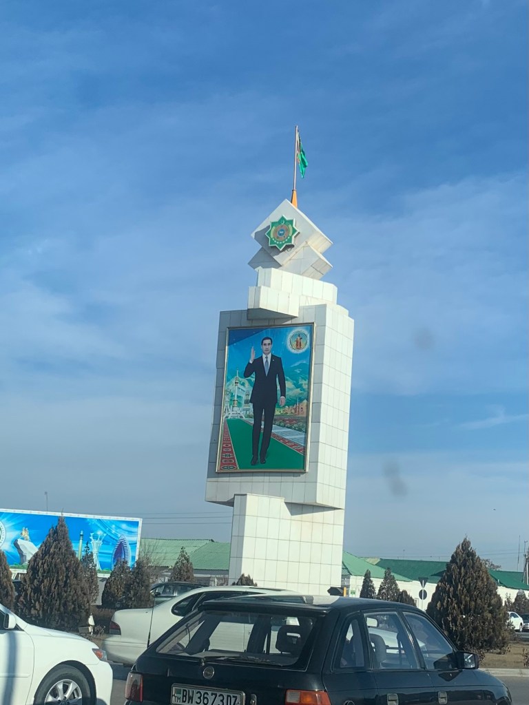
    Welcome by the President in Dashoguz

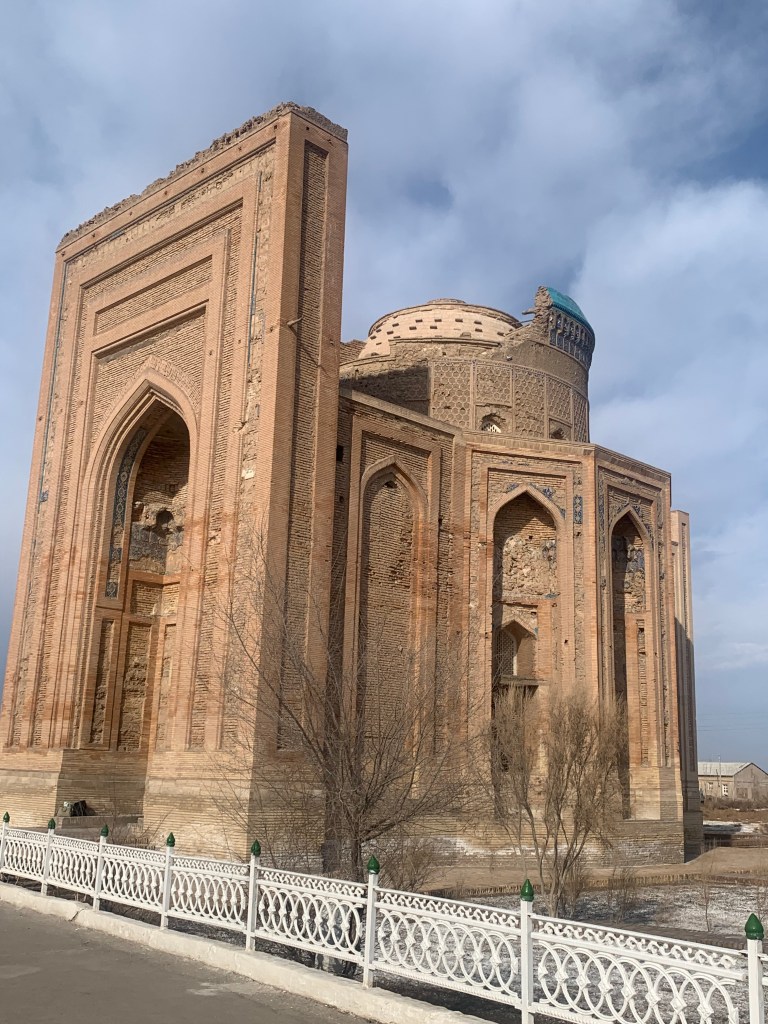
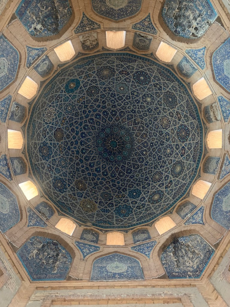
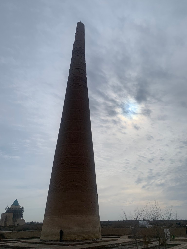
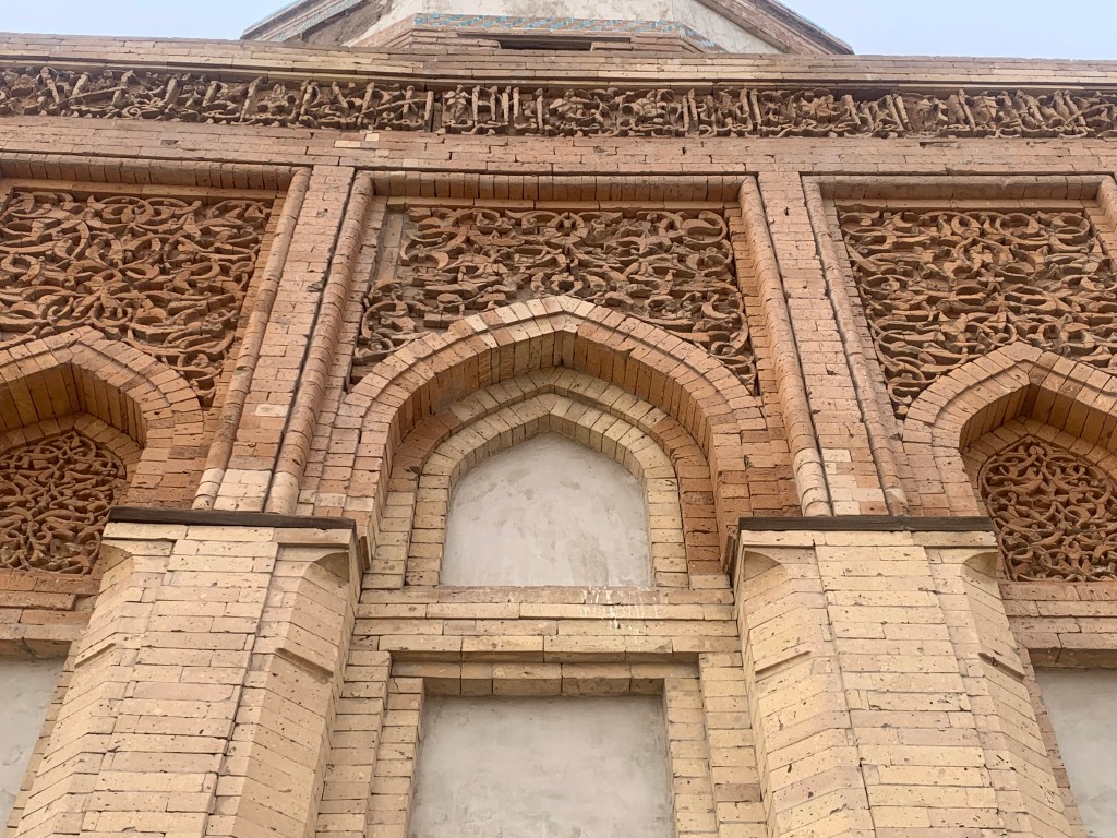
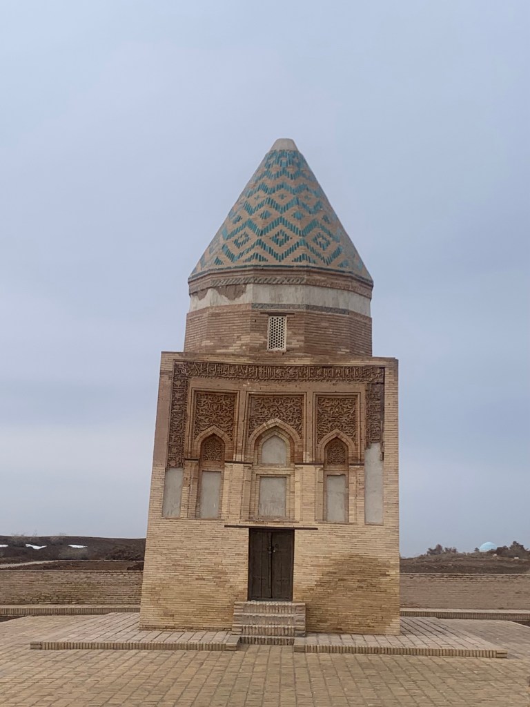
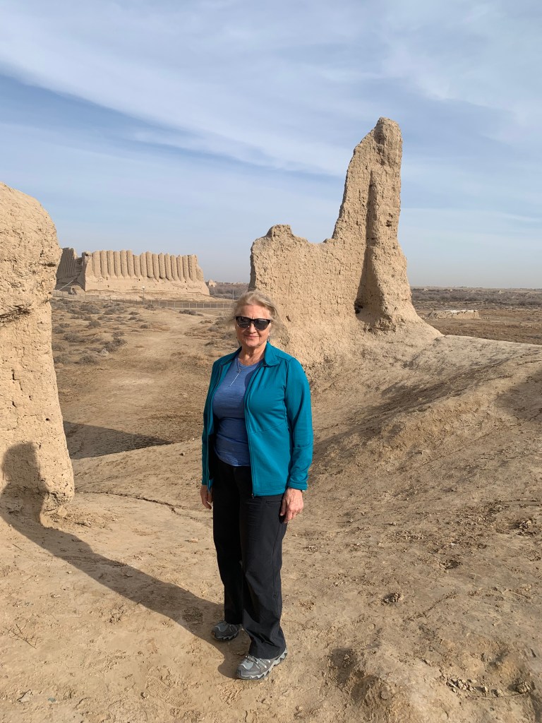
    We headed to the first historic place on our sightseeing tour - Konyeurgench. It has a long history, starting in the 5 ct BC, but its heyday was between 11-14 ct when it was the capital of the Kwarezm empire and an important, rich, well developed town on the Silk Road. (Of course, it got raided and sacked and rebuilt several times.) It is now a UNESCO site.

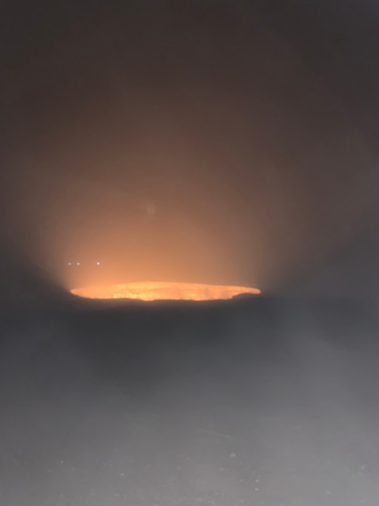
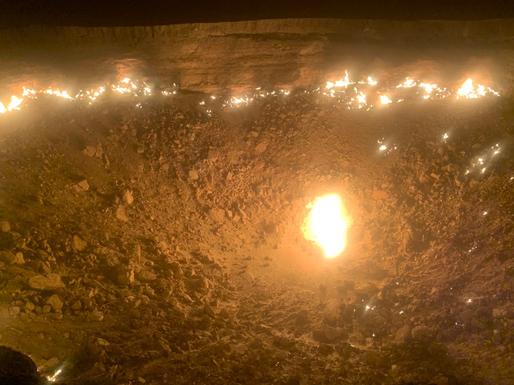
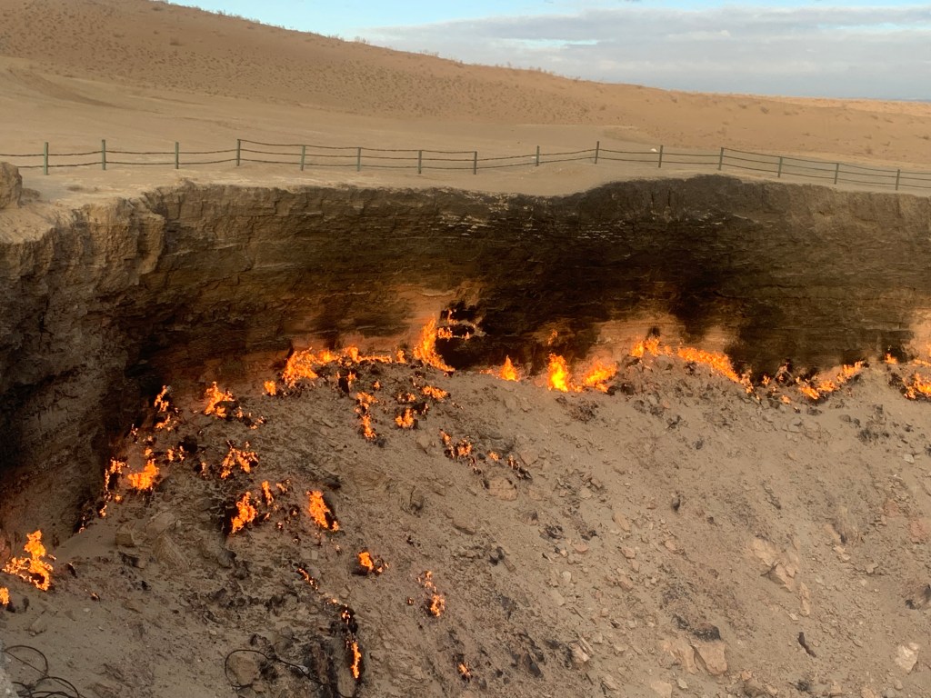
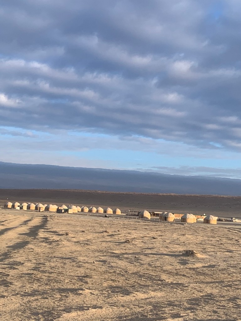
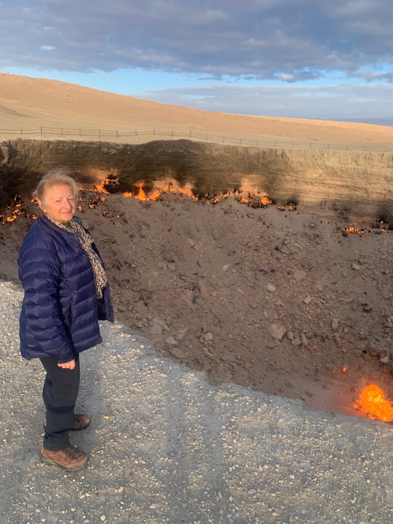
    Then a long drive to Darwaza, in the middle of the Karakum desert, where The Gates of Hell gas crater has been burning since the 1970’s when the Soviet experts were prospecting for natural resources (Kara-kum means ‘black sand’, as there is a lot of shale underneath). I was told there had been a lot of heavy equipment in the area at the time and a spark may have caused an explosion that created the crater – there are metal bits and pipes visible at the bottom. The natural gas has been burning since. (It made me smile, thinking of the Azerbaijan’s “Fire Mountain”, which is but a smidgeon compared to the hundreds of clean, smokeless flames around the giant crater.

    The yurt village
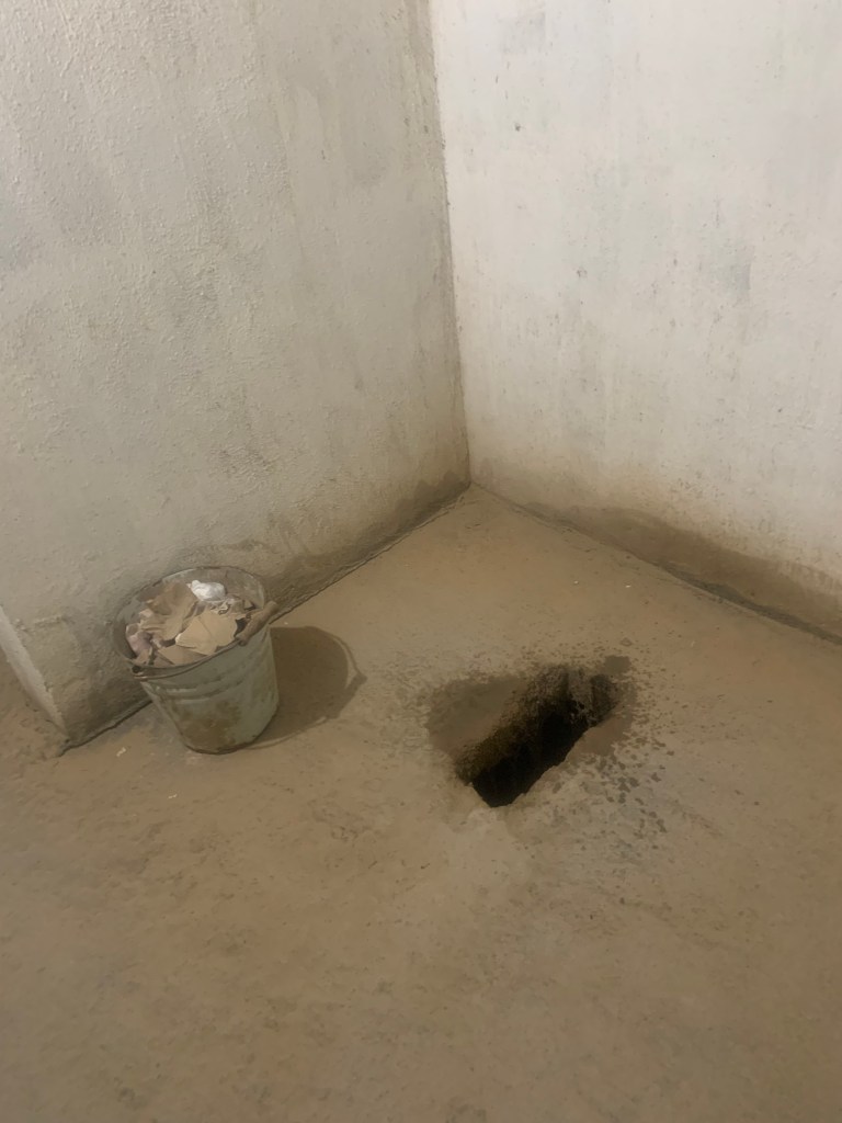
    The loo
    The Turkmenistan massage road
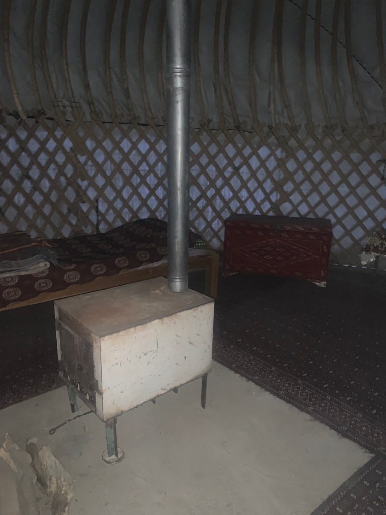
    My yurt stove

    Owadan travel built and owns the yurts here and this is where I slept. This being February, I was, yet again, the only visitor. But I was well looked after, and there was a fire in the little stove in the yurt. (The loo, though, could not be put closer – at 50m, it is a trek.)

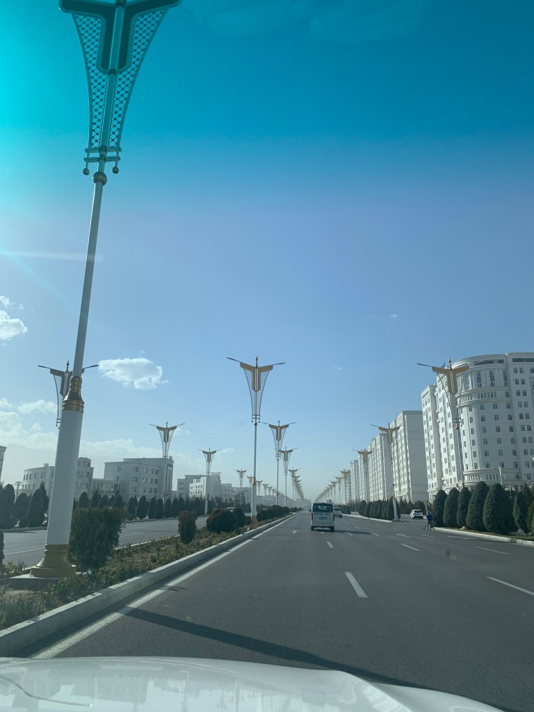
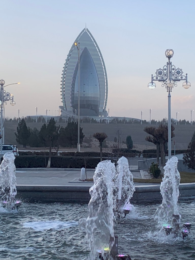
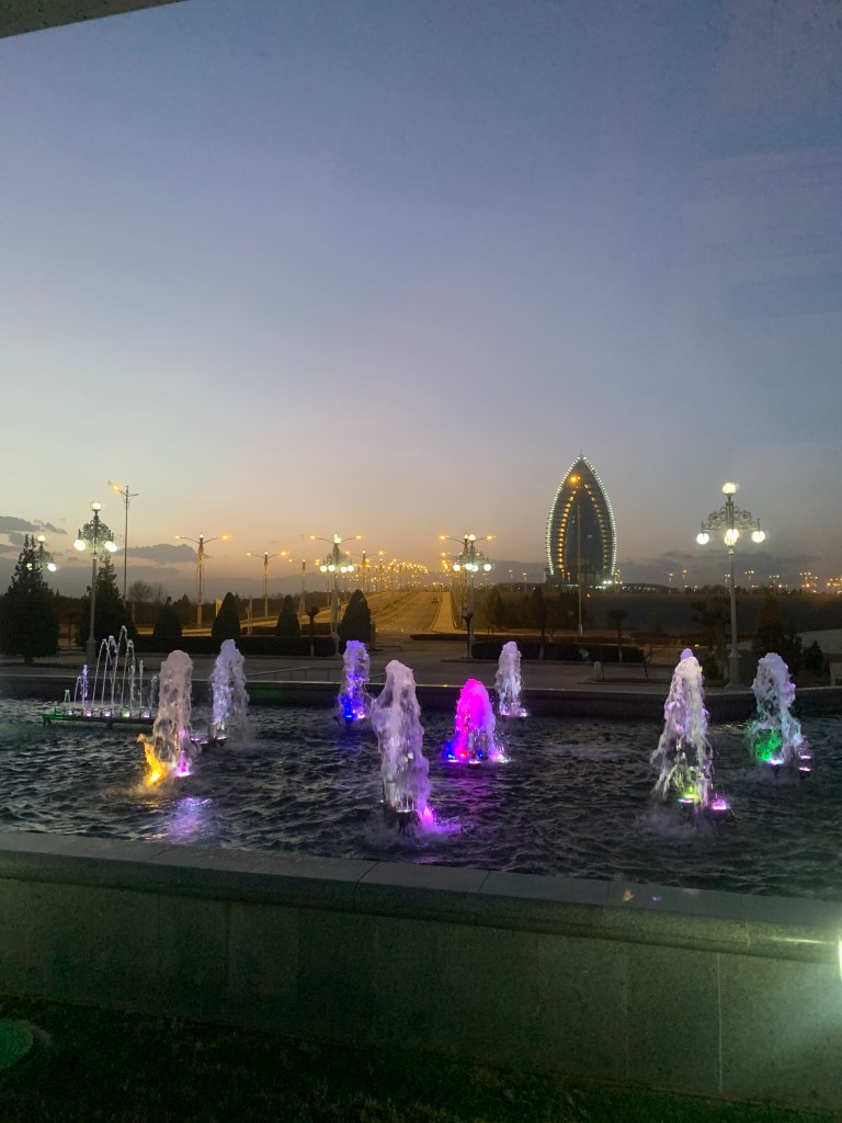
    Ashgabat is officially “the whitest city in the world”. The buildings cannot be painted anything but white; the only cars allowed inside the city limits must be white, silver or gold; the street lights (and there are, for once, plenty) are all on white or silver posts. The cars must be clean – else they will get stopped by the traffic police and fined. This has occasioned a very brisk business in car washes in the environs of the city (The Toyota was washed 3 times in the 6 days I was there.) Out of the 5 provinces, cars registered in 2 (Dashoguz and Mary) cannot enter Ashgabat, whatever their colour and state of cleanliness – they must be left on the outskirts. The city roads are in perfect condition, wide and spotlessly clean. Very few people outside, except for the street cleaners (mainly women with brooms). No traffic jams. There is a sterile and sterilised feel to the town, as after an apocalypse. However, when the night falls, the psychedelic multicoloured lights play on every building, including the high rise apartment blocks.

    Arriving in Ashgabad
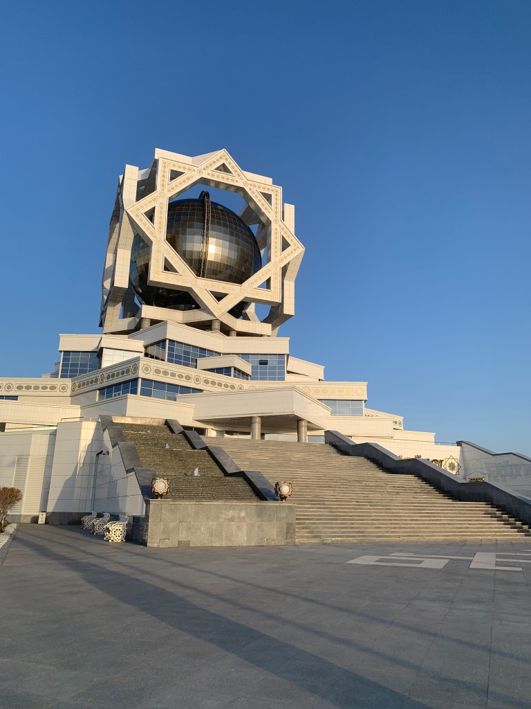
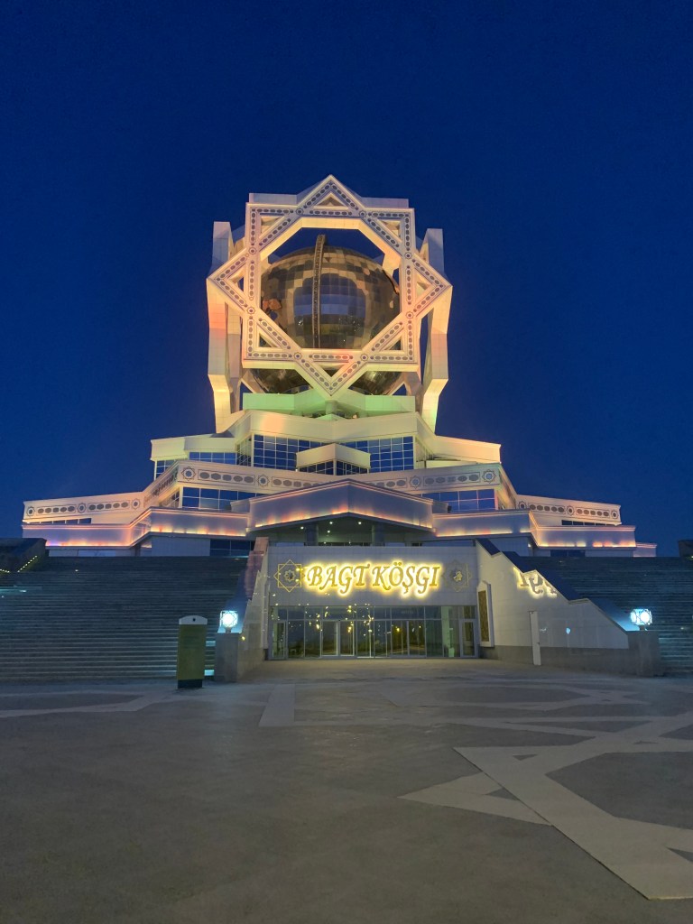
    The Wedding Palace – the hotel I stayed in
    My view from the room towards another hotel – only parks in between
    The evening falls and lights start playing
    My hotel at night – colours change
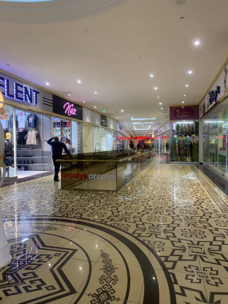
    The shopping mall

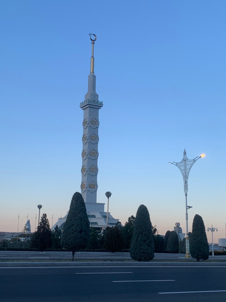
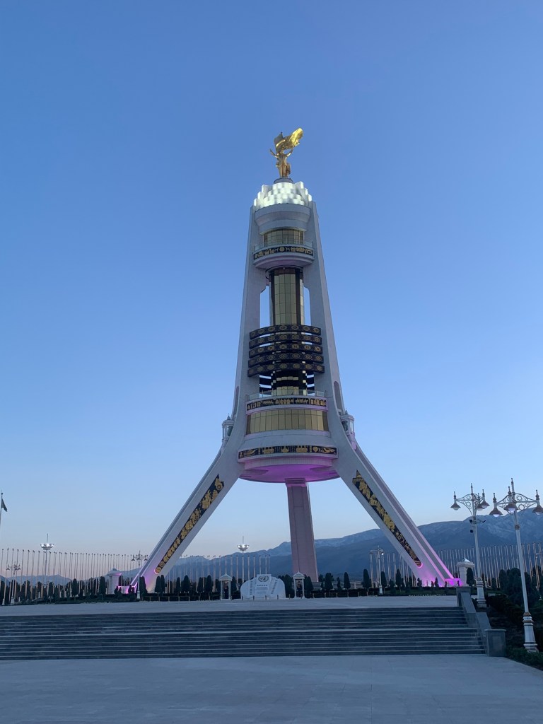
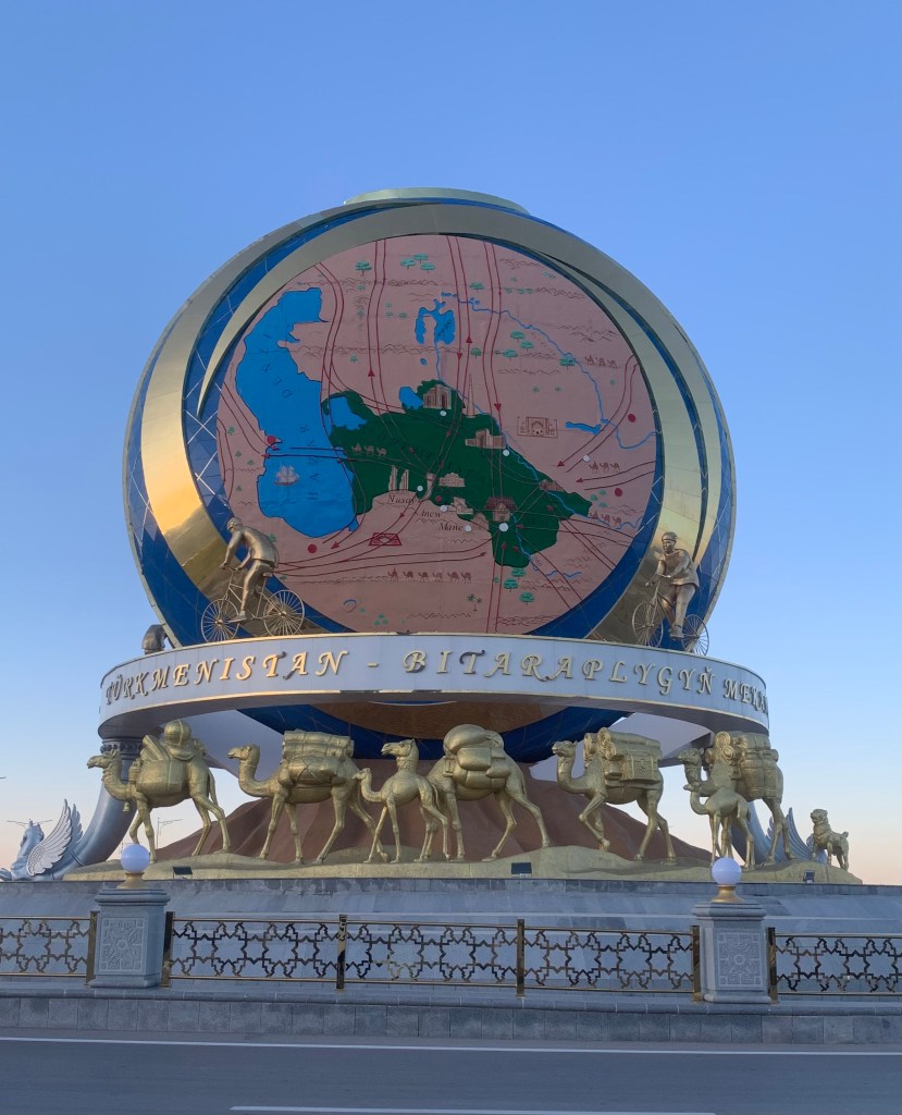
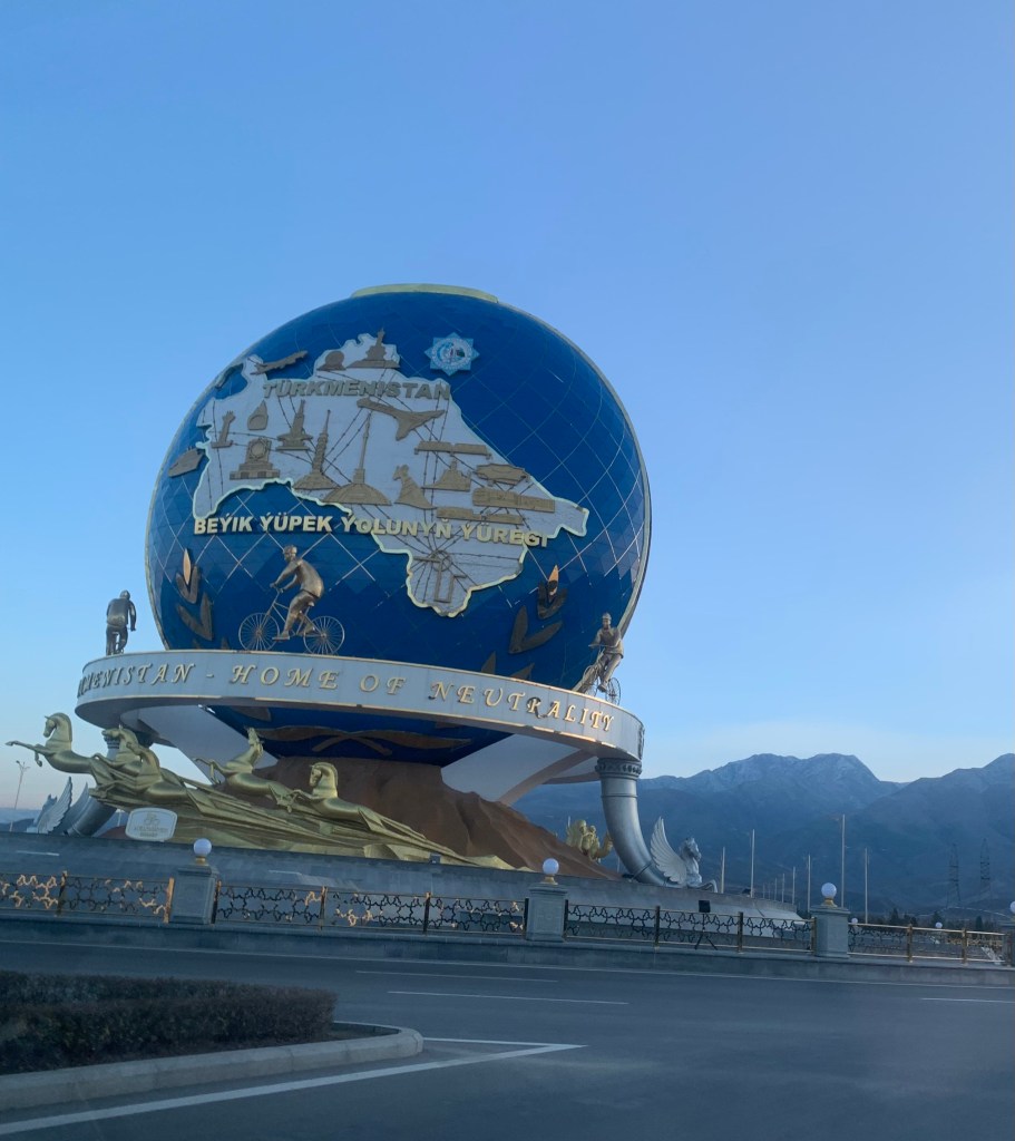
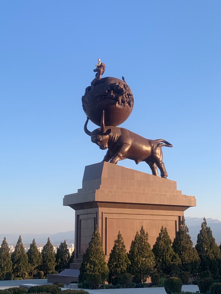
    The monuments are highly visible, grand and quite literal: the monument to Independence is 91 metres tall as the event happened in 1991; the monument to Neutrality is 95 metres tall (1995). Every roundabout has a monument as a centrepiece.

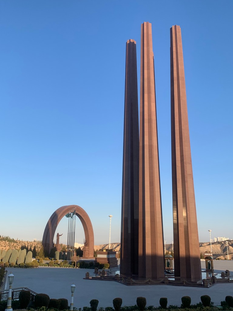
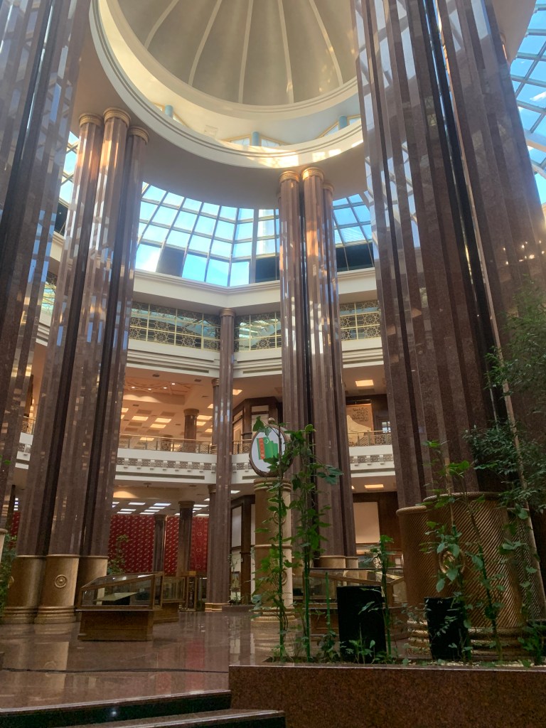
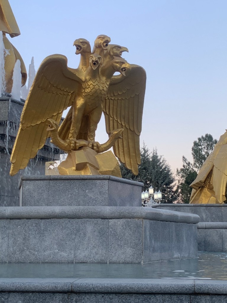
    There are some odd things – such as the largest (and only) Ferris wheel inside a building (I did ask, why?). The national flag pole may not be the tallest but is the only one in the world with a jet engine installed to ensure steady fluttering. The five tribes that make up Turkmenistan are represented on the flag with the ancient symbols often seen in their carpets; the National Museum of Turkmenistan incorporates the five pillars inside its architecture, the Memorial complex has five pillars to commemorate the loss of life in the war, there is a 5-headed eagle…

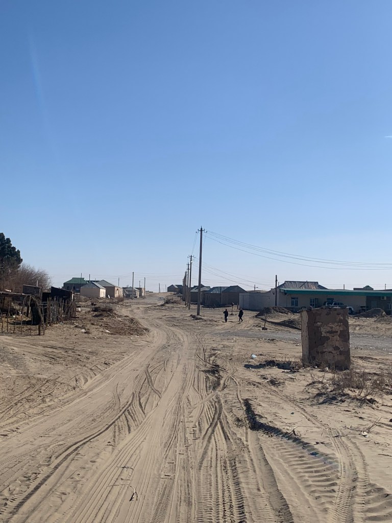
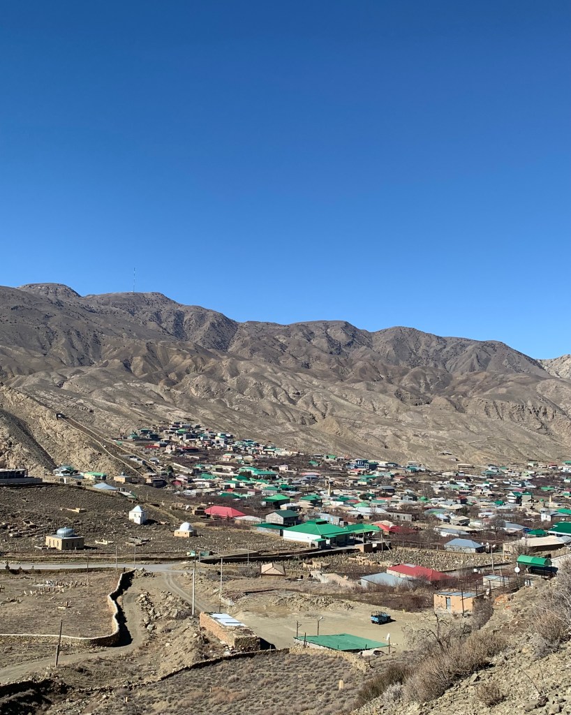
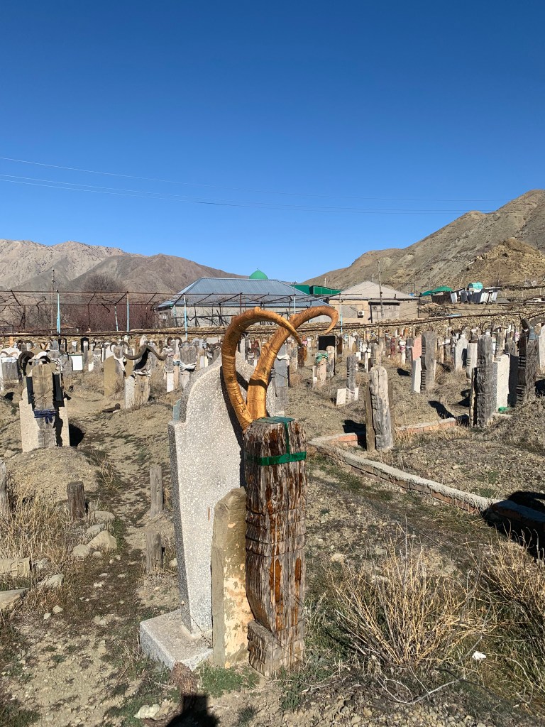
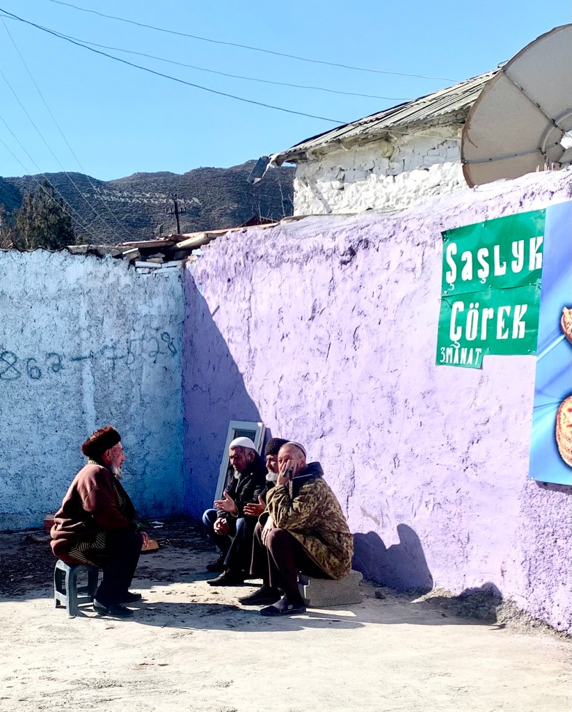
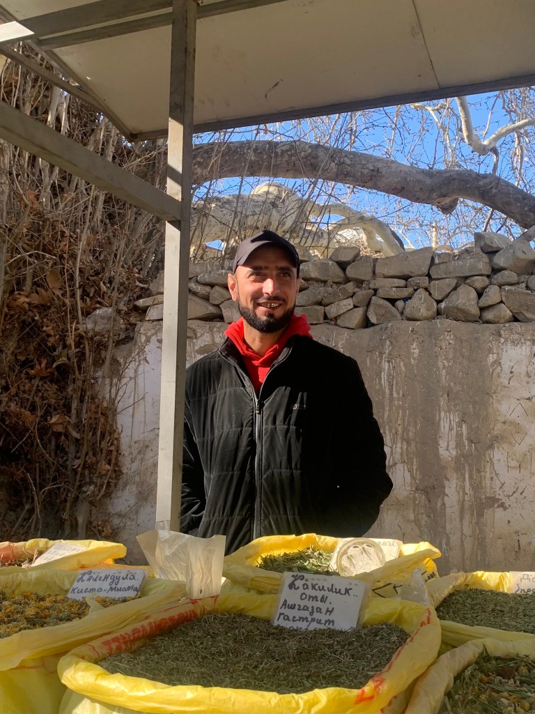
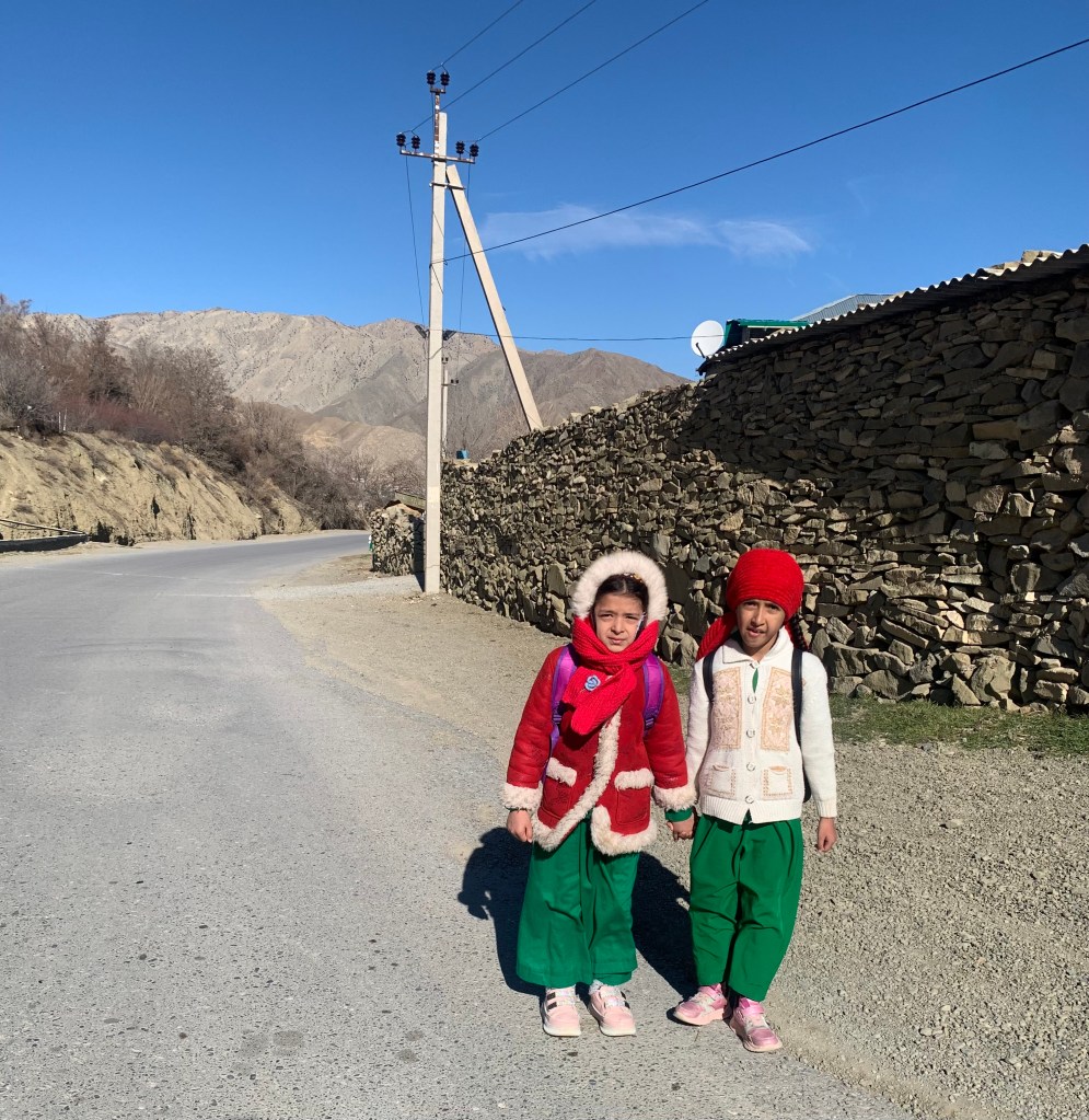
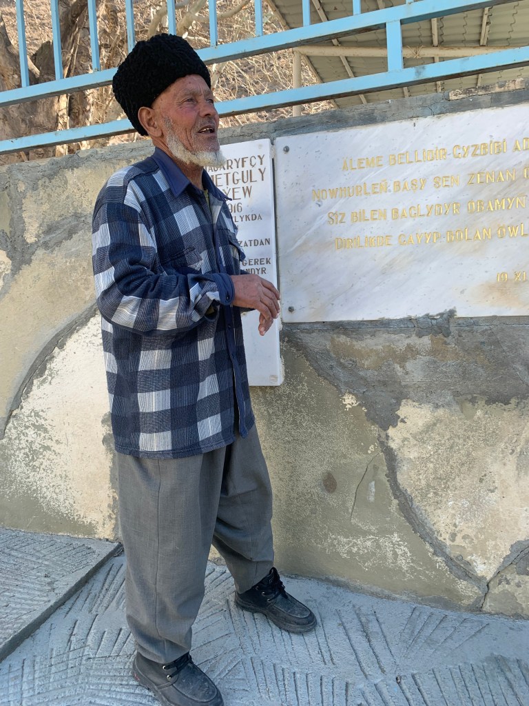
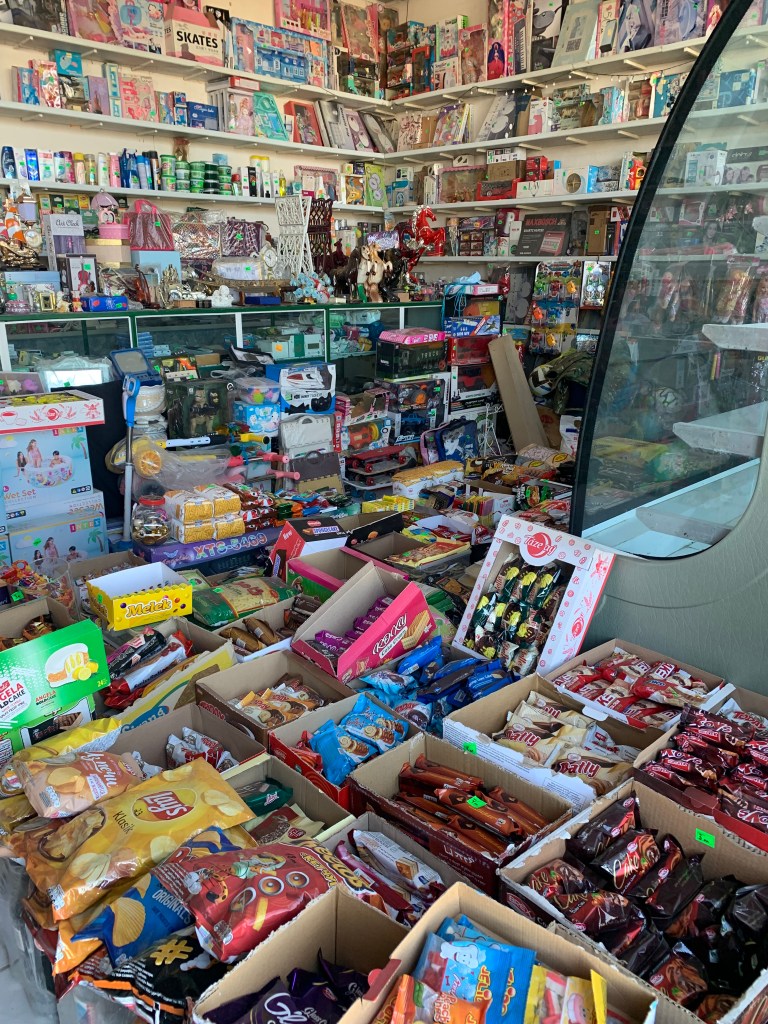
    The visit to Nokhur village (where people put ram’s horns on the graves – one story is that it’s to ward off evil spirits, the other that it is just a decoration) finally gave me an opportunity to see how ordinary people live.

    Nokhur from above
    Horns on graves in Nokhur
    School uniform
    Good spot for a chat
    This lovely lady with a golden smile gave me some home made bread
    Bought some tea by the old china tree

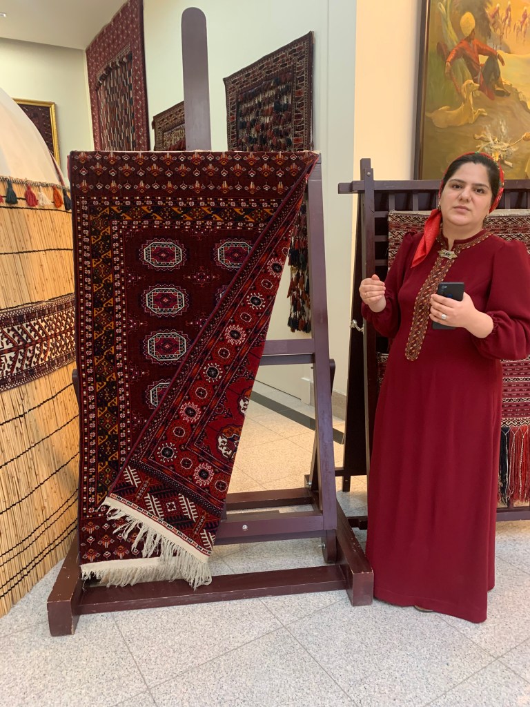
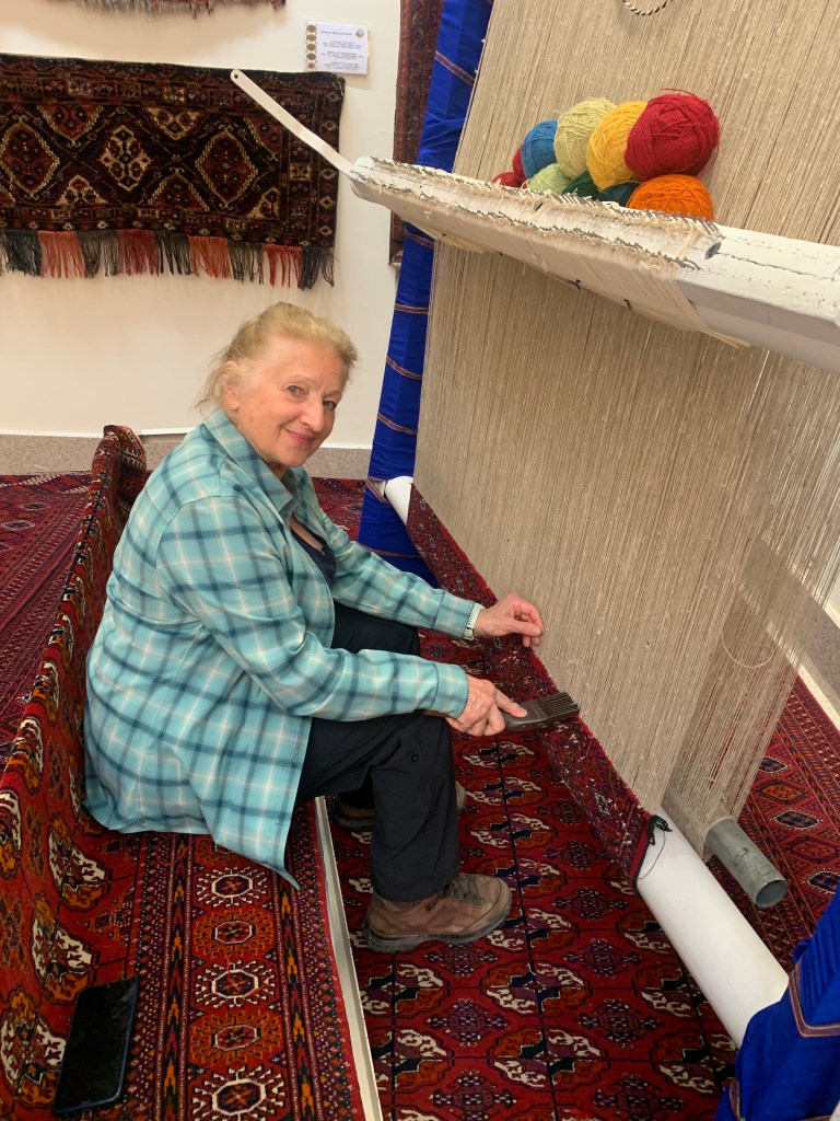
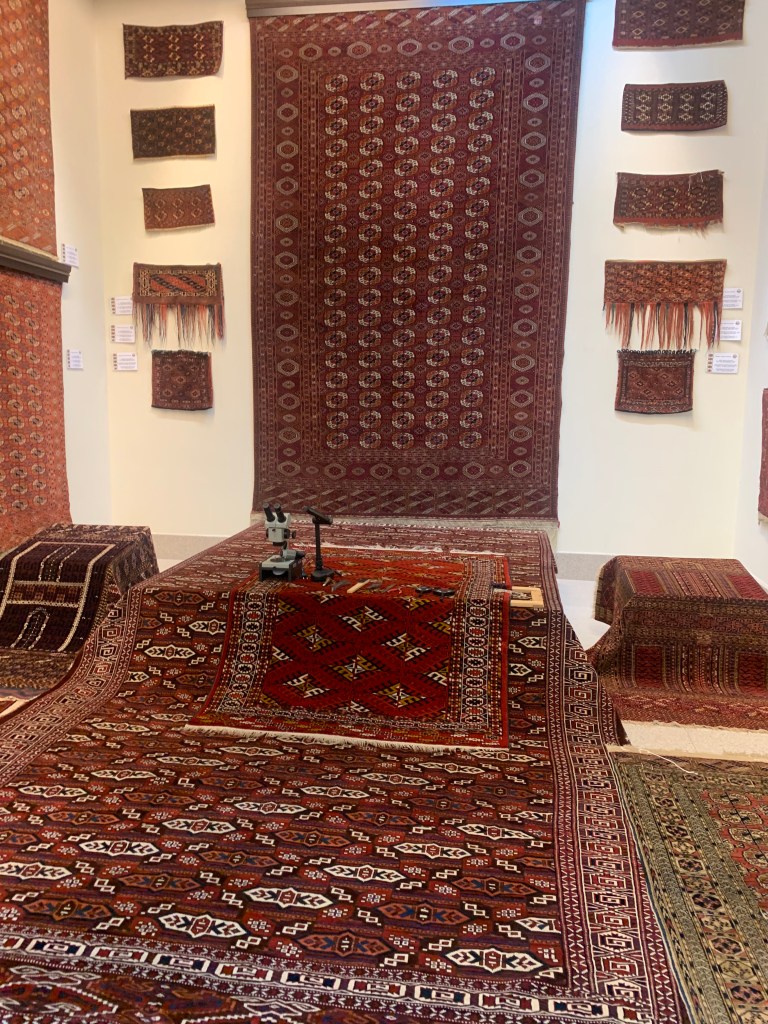
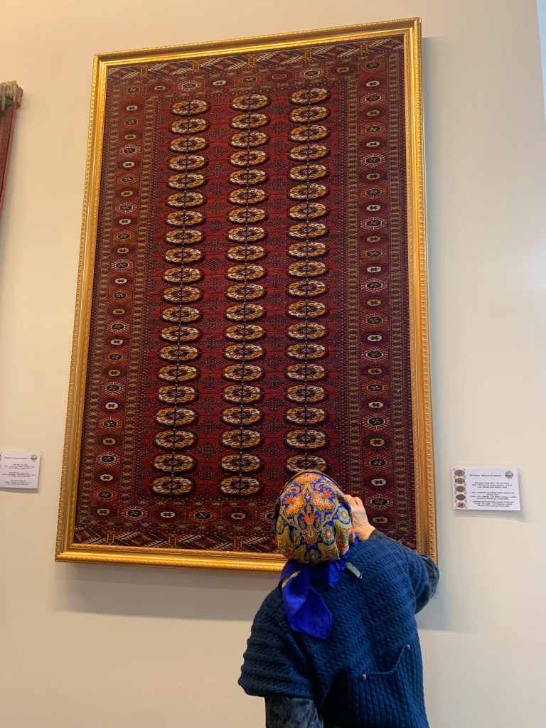
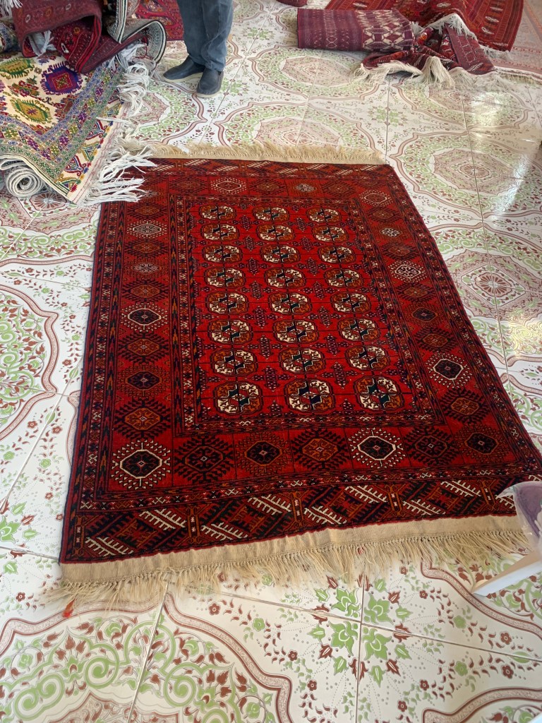
    I enjoyed the visit to the Carpet Museum. We all know of the “Bokhara” carpets as the best quality hand-knotted ones. But they were only SOLD in Bokhara and have always been made by the Turkmen people. I did drool over a couple of them. Later I really wanted to buy one (in the shop in Mary) – but I would not have been given an export license as it was over 60 years old.

    A 3-D carpet – the light ovals are raised
    A 60-year old beauty I wanted

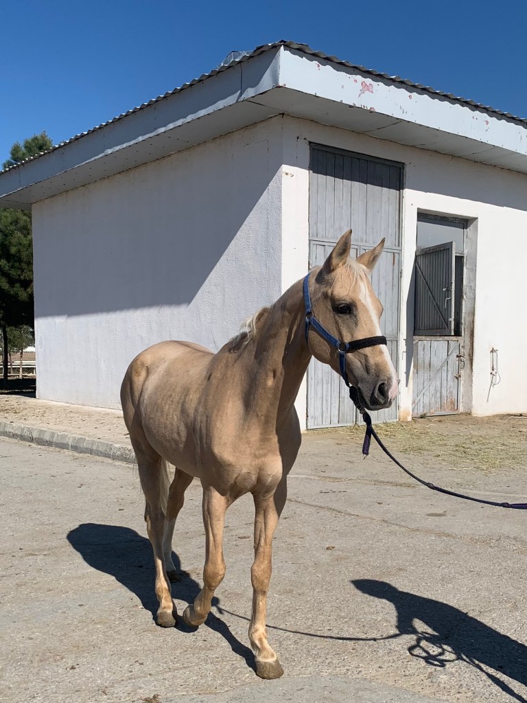
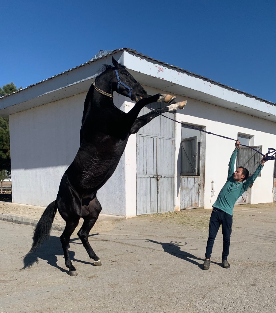
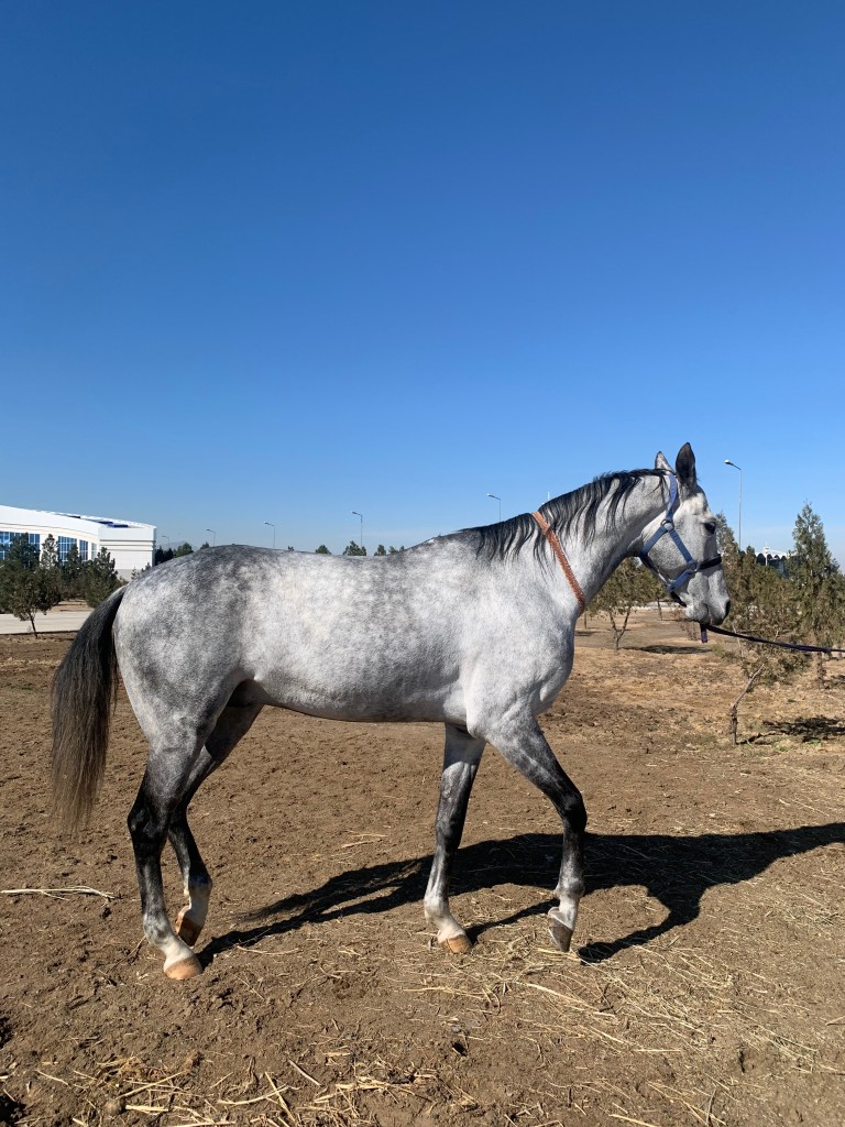
    Turkmen are well known for their horsemanship and I was looking forward to seeing the “golden horses”. The Stables near the race course is a home to 600 horses, the Akhal-Teke among them. (I was told that the late Queen was gifted an Akhal-Teke horse by Turkmenistan and the grooms were convinced that the horse had been painted gold and tried to wash it off.) I could have had a ride ($10). Were I a better horsewoman, I might have had a go. They all looked well looked after, if a little frisky (the black stallion is known for being headstrong).

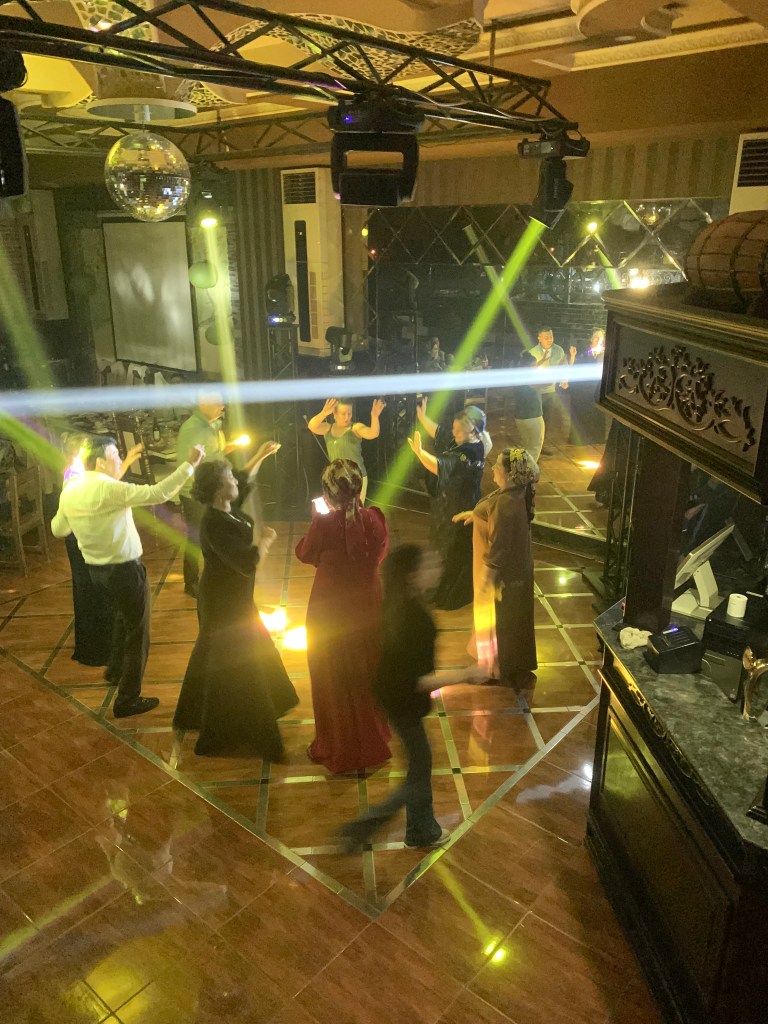
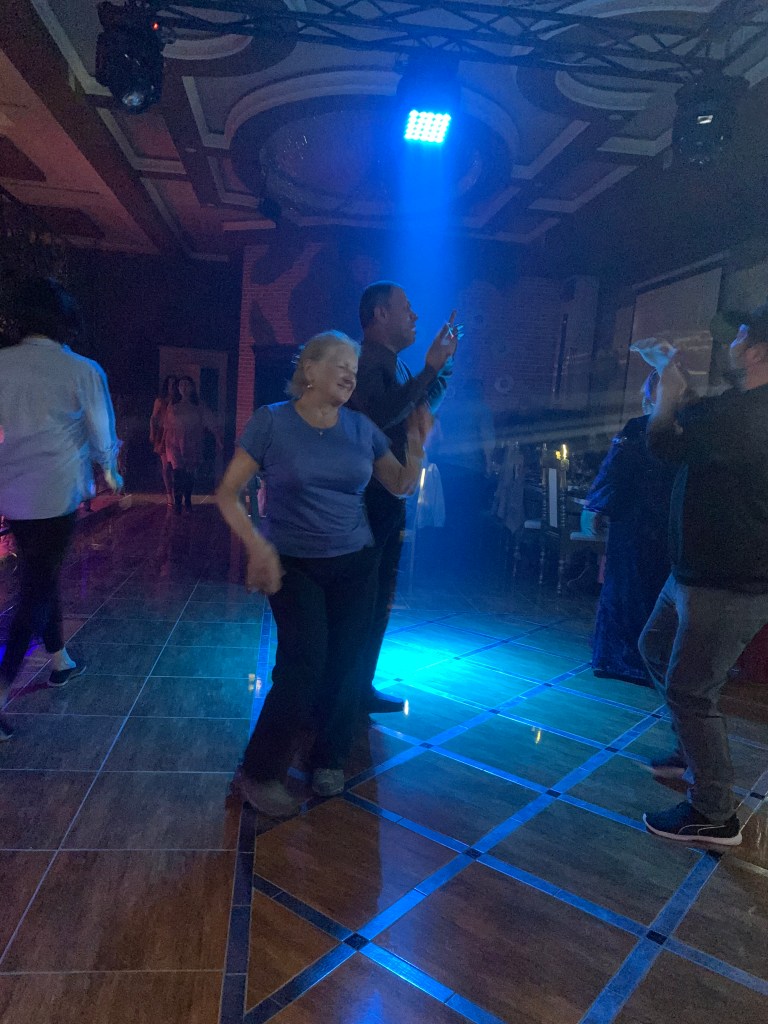
    The original programme had me staying in Ashgabat for 3 days, with a couple of trips out. As we more than covered Ashgabat in 2 days, we headed to Mary – the old Merw of the Silk Road (the new town is some 45 km southwest from the ancient city – the river Murgab changed course. Merw is 350 km away from Ashgabat on the road that could be better. There are a number of checkpoints where everyone must slow down; there are also random stops and car document checks along the road. Having the green license plates (a government vehicle) helps but is not a guarantee. (The foreign business partners/investors have yellow plates; the diplomats have blue; folk have white.) One is not allowed to take photos of the checkpoint or police in action. It was good to get to Mary a day early – poor Guwanch would otherwise have had to drive some 800km in one day on those awful roads. It also gave us a nice evening out – dinner and disco!

    Approaching a police checkpoint

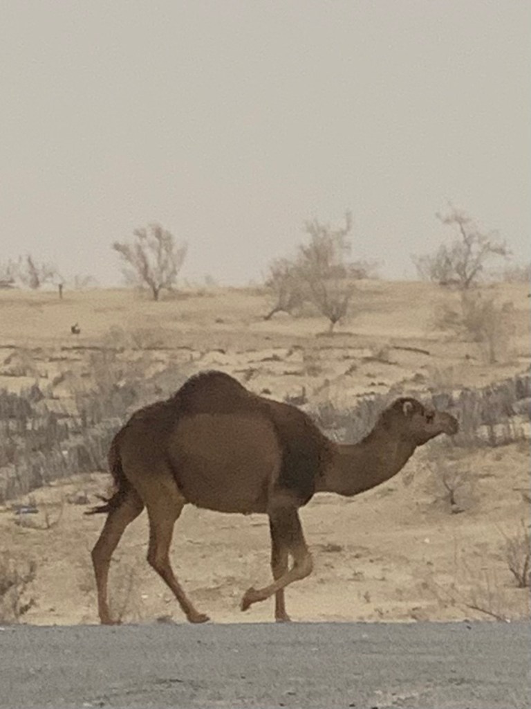
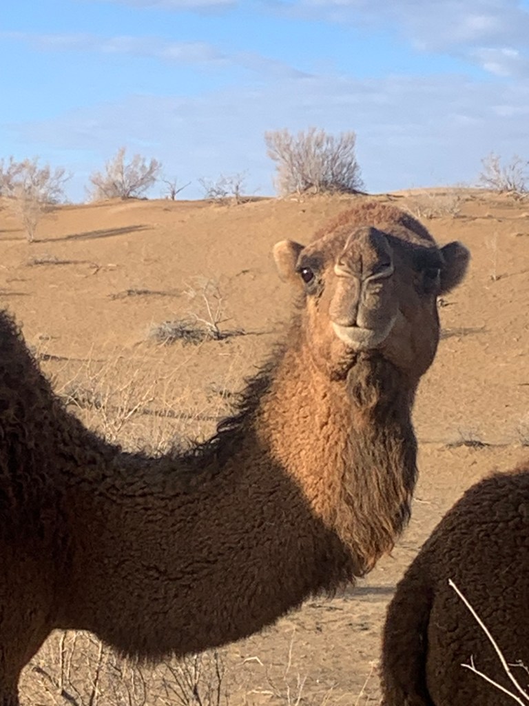
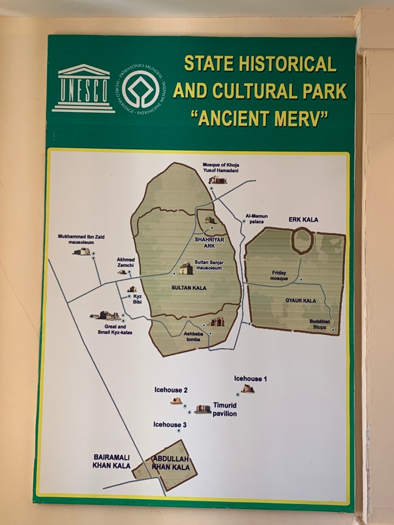
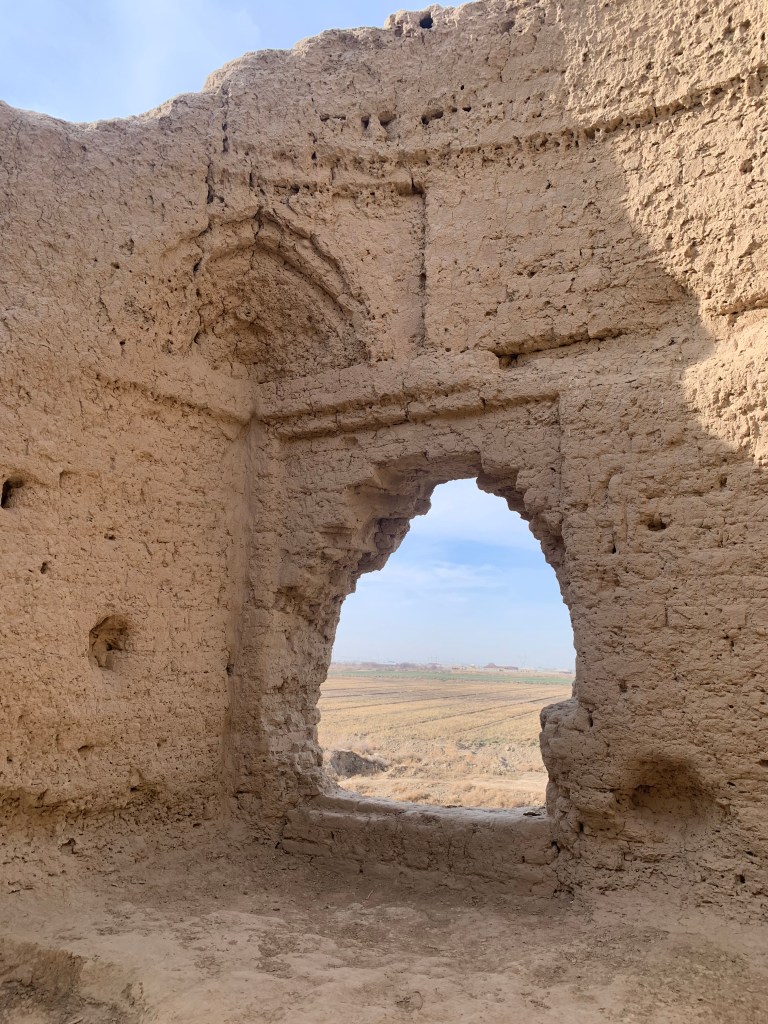
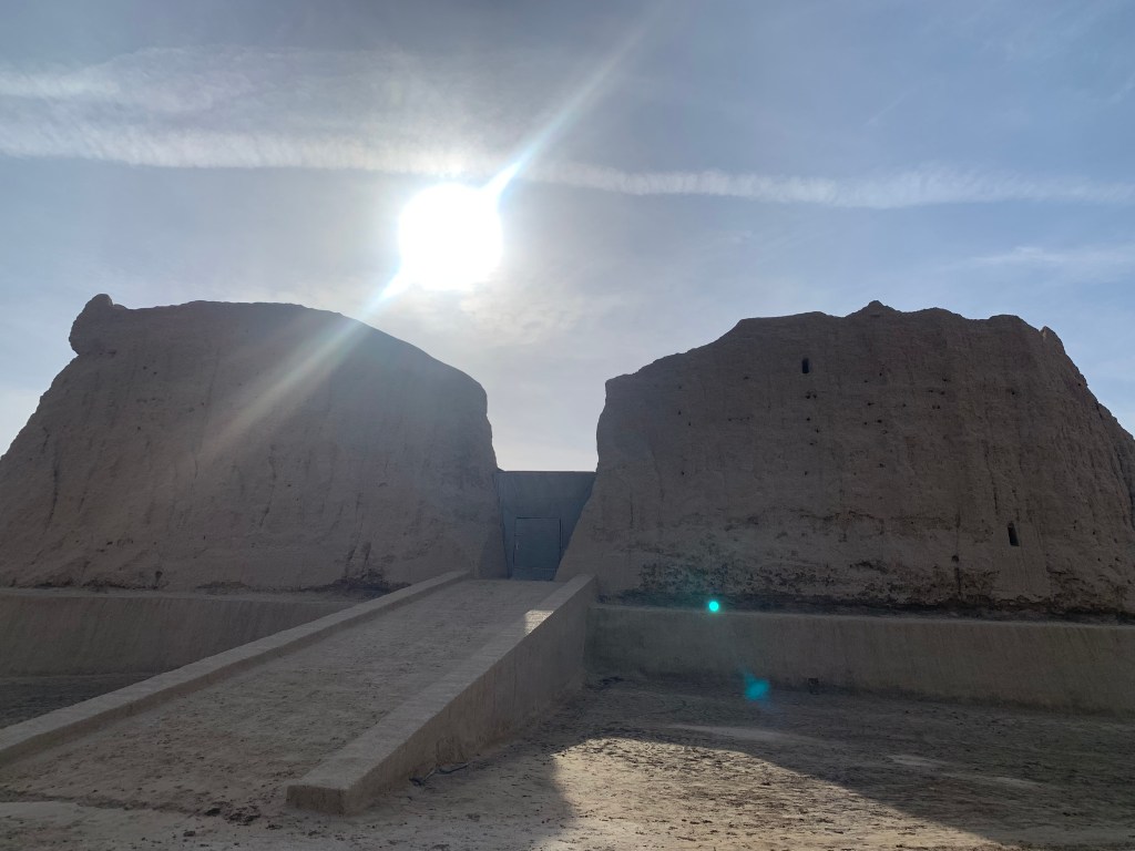
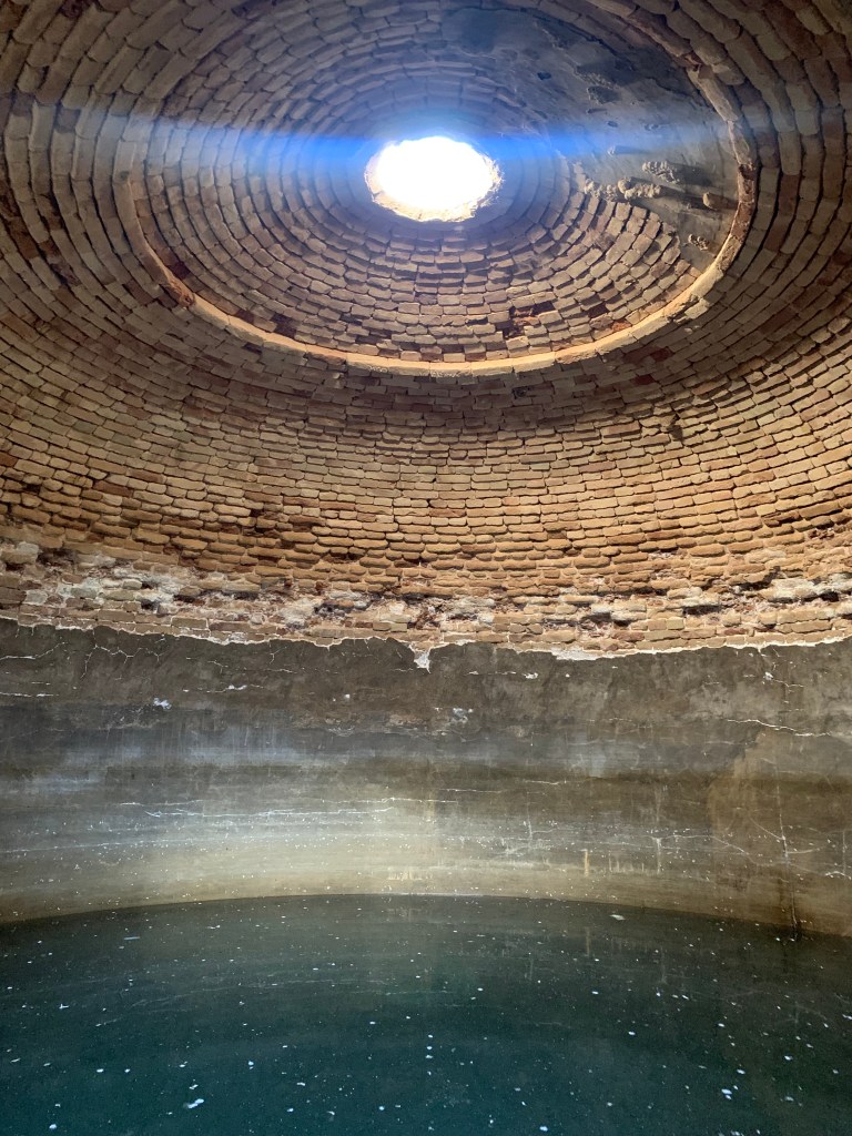
    The ancient Merw did not disappoint. It used to cover some 1000 hectares and was the largest city in the world at its peak – 1/2 million people lived there. The conquerors and emperors came and took and destroyed and rebuilt. The far stretching walls, some fortresses and Ice houses still stand. And the camels graze where the merchants traded and the caravanserais stood.

  • Khiva

    Feb 12th, 2024

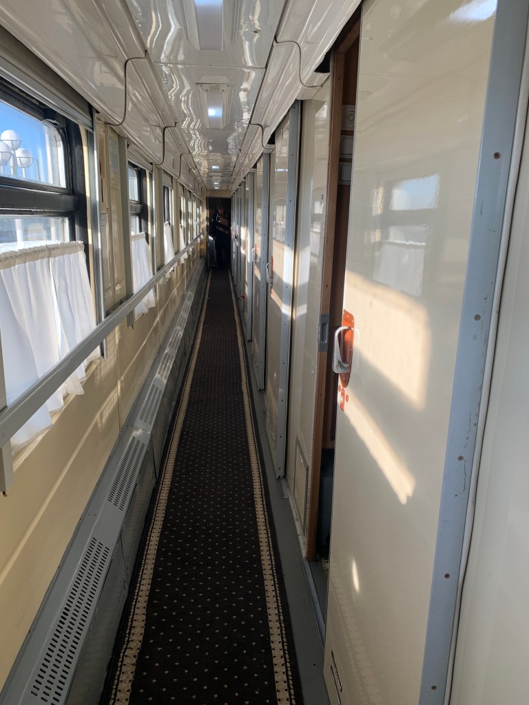
    The 2 trains from Bukhara to Khiva are the night ones that start in Tashkent or Andijan, in the east of the country. Got up at 02:30 for the 03:52 train, which I caught by the skin of my teeth – the taxi booked by the hotel turned up late and I had to run – the station entrance is a long way away from the drop off. Running with a heavy rucksack on your back may be ok if you want to join the SAS, but it’s not for me.

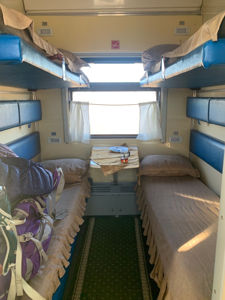
    This train was the old Soviet stock, with a diesel engine (the line is not electrified beyond Bukhara) and old-fashioned coupe style sleeping berths. I settled quietly in mine in the dark, aware there were 2 people in the bunks opposite. (They were two brothers, in their 50s or so, returning home to Urgench from a wedding in Navoi. Their womenfolk (four) were in a different cabin. We had a nice chat in the morning over the railway- provided cup of tea and they gave me a large round of filo pastry bread (patir). Chewy and very tasty - a kind of borek with no filling.

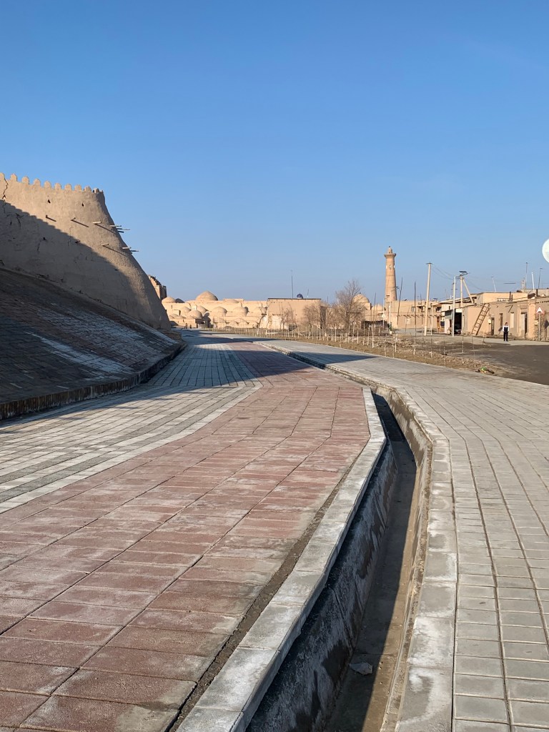
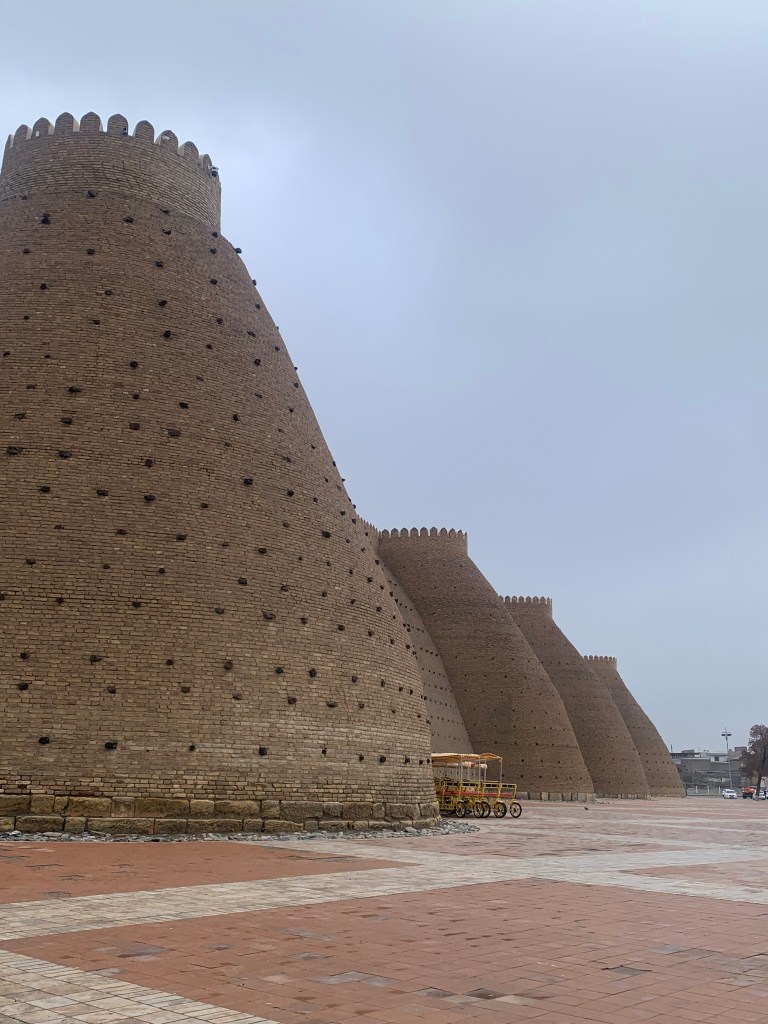
    I was, yet again, the only guest in my hotel, the Khan’s Palace. (A friend has suggested that I should call my blog “I was the only visitor”. ) All of the Old Khiva inner city, the Ichan Qala, is a museum. The thick walls surround it, and the guide says it is possible to walk along part of them – at present, very little, maybe 50 meters near the North Gate. The town thrived for centuries (and was sacked and rebuilt) and grew on the Silk Road goods travelling to and fro. As it spread, another wall was built further out to accommodate this – Dichan Qala, much bigger and having 11 gates. There are some buildings of interest there (such as the 19th century Nurallabay palace, and some of the walls are still there, but it is the Ichan Qala we all come to see. 

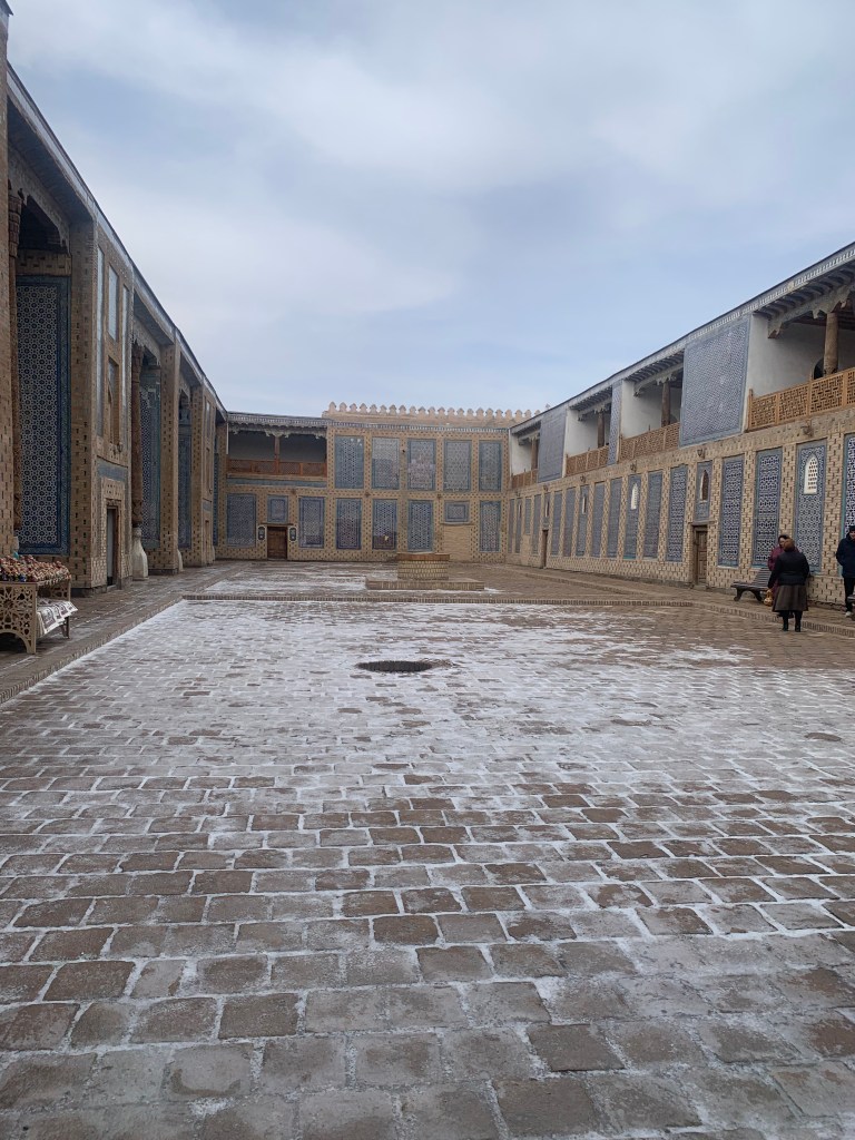
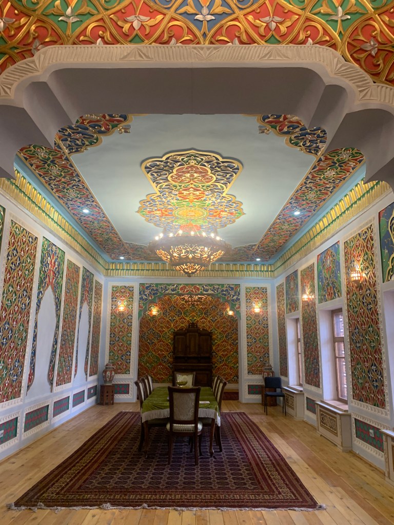
    One of the courtyards in the palace is surrounded by the buildings of the Khan’s harem. The 4 official wives on the left, the 40 concubines on the right. Though it may not have been exactly 40 – it is a number used in muslim lore to denote ‘many’ – Alibaba and the 40 thieves, the 40 virgins being pursued by the enemy and hiding in caves…

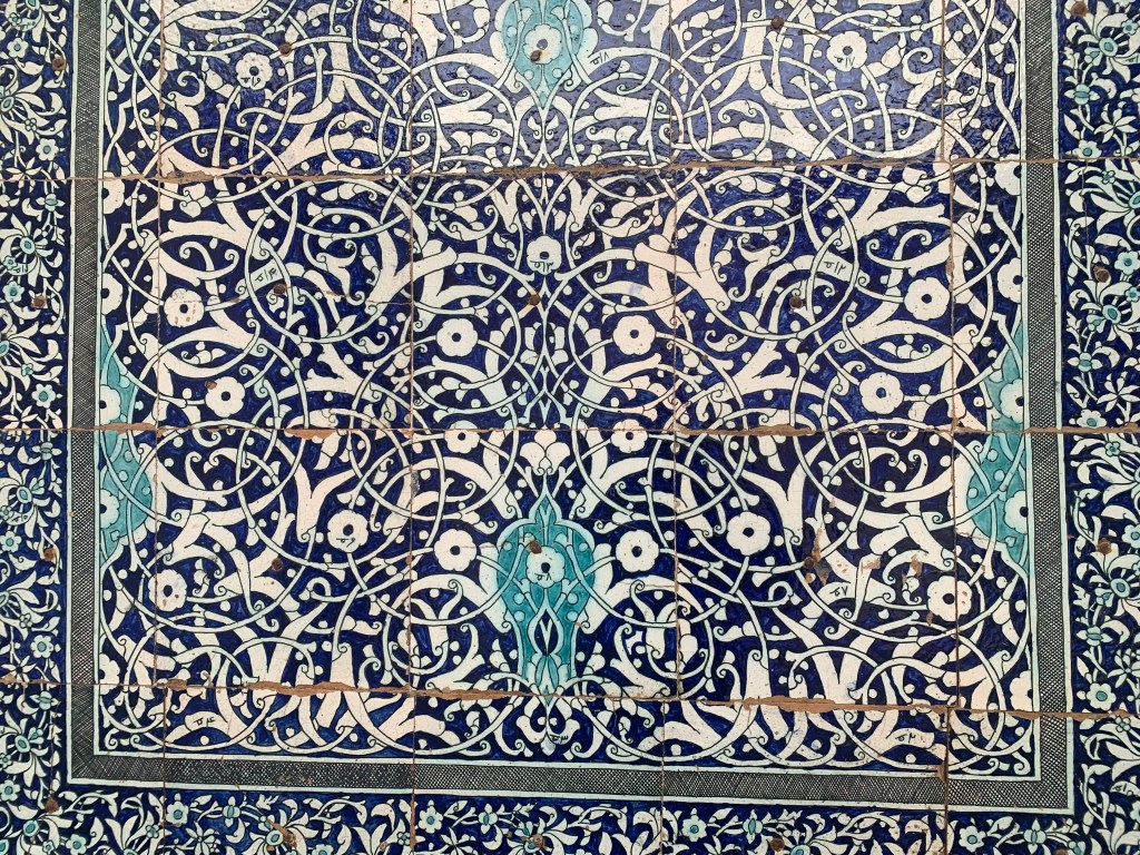
    The beautiful, original majolica tiles from the 18 ct can be recognised by their Arabic markings (to help match patterns). The new ones have the markings in latin script.

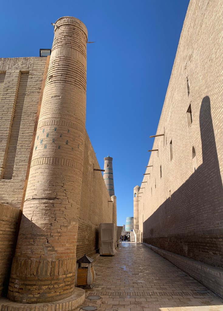
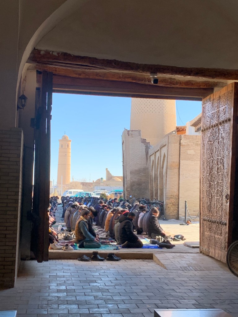
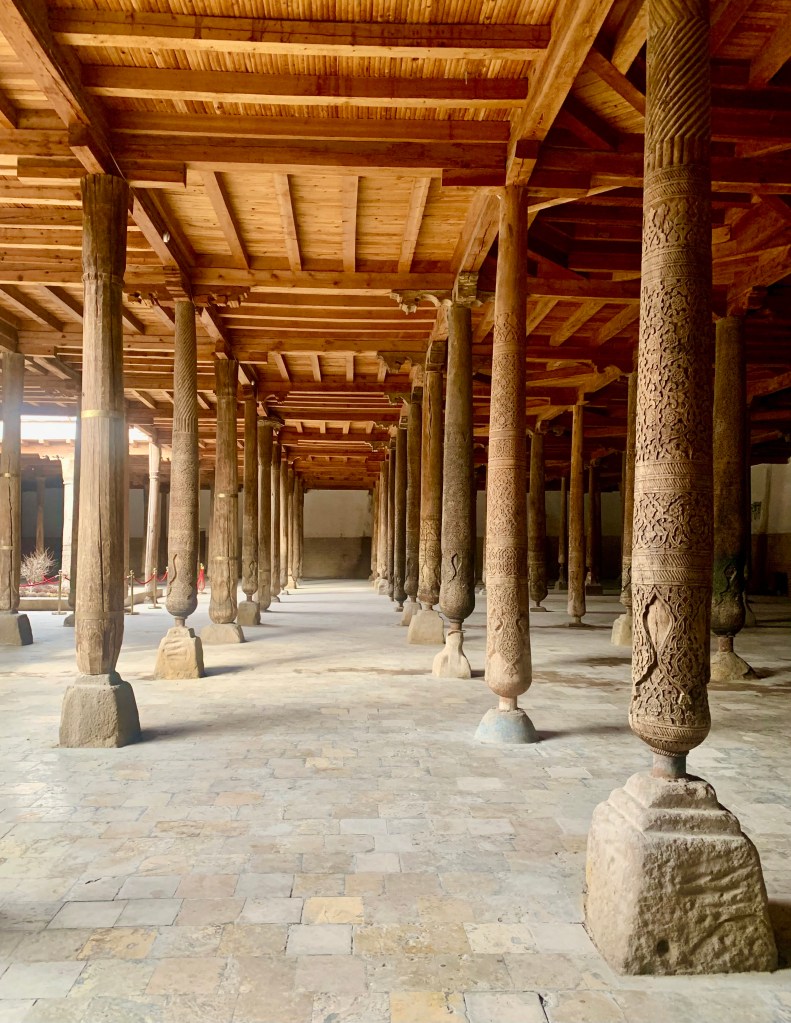
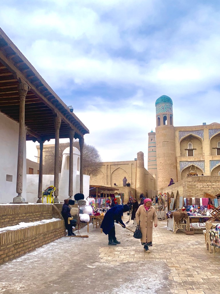
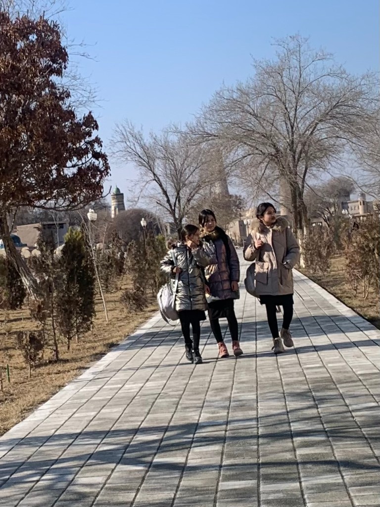
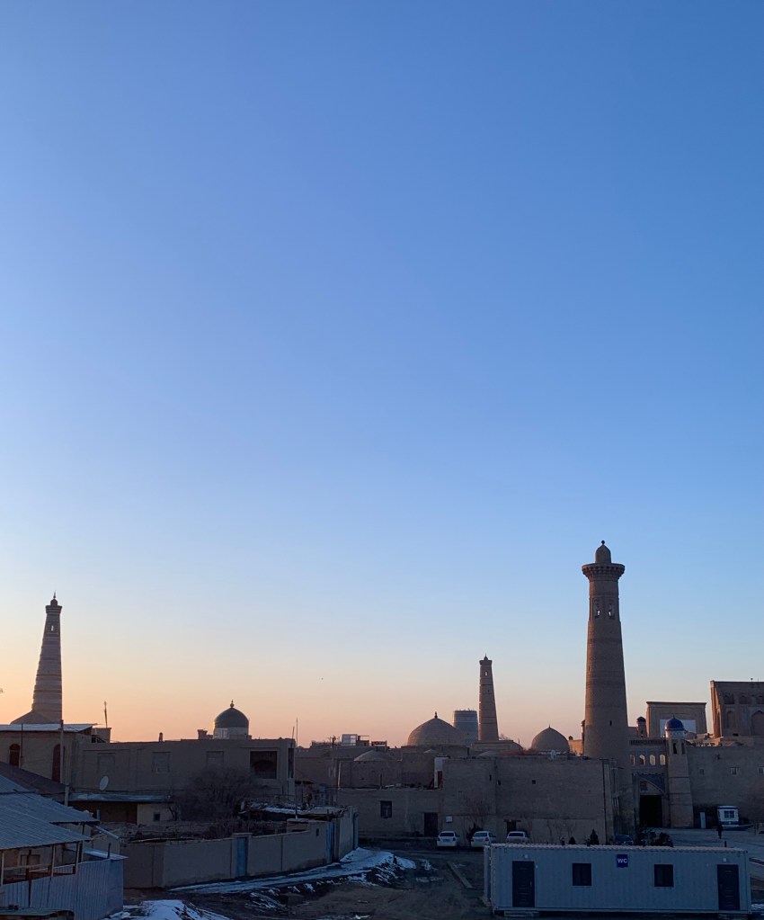
    There is a timeless feel to walking along the quiet streets of the old town of an evening, minarets rising by the mosques, madrasahs and caravanserais standing shoulder to shoulder, the large, carved gates to the Khan’s palace closed for the day. 

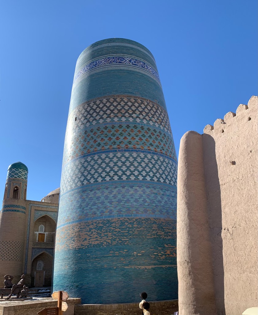
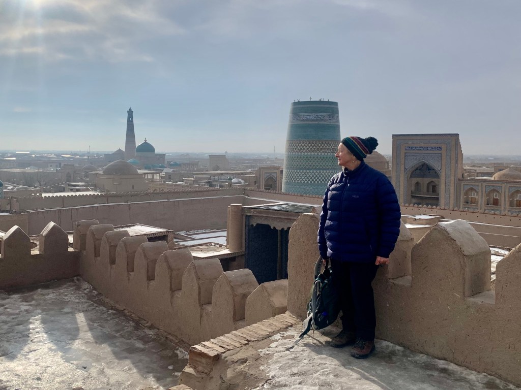
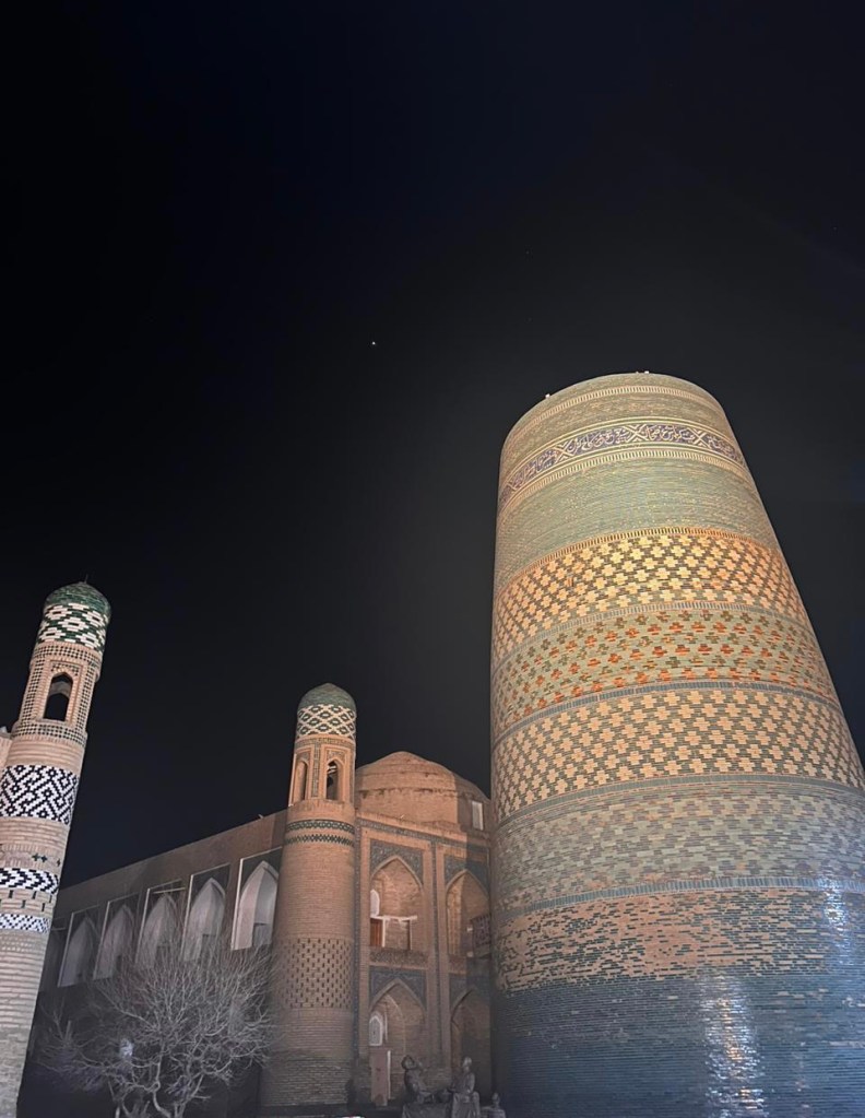
    Old Khiva is under UNESCO protection. The renovations are done sympathetically. Some madrasahs have been made into hotels – one of the biggest is the East Star hotel, next to the postcard pretty 19ct Kalta Minor minaret, the large, beautifully glazed but unfinished minaret ( 29m  – it was to be 70-80m tall, but Muhammad Amin Khan died in battle half way through the construction and the heirs did not carry on).  Several more caravanserais and madrasahs are in the process of being converted to hotels and crafts and souvenir shops. There has been a suggestion from the Presidential office that the remaining 250 or so families that still live within the old walls should be moved out and the dwellings made into tourist accommodation. Thankfully, it has not been enacted (so far). 

    I’m not certain why all the culverts are left uncovered – even at pedestrian crossings. It must be a nightmare for pushchairs and wheelchair users (haven’t seen many).

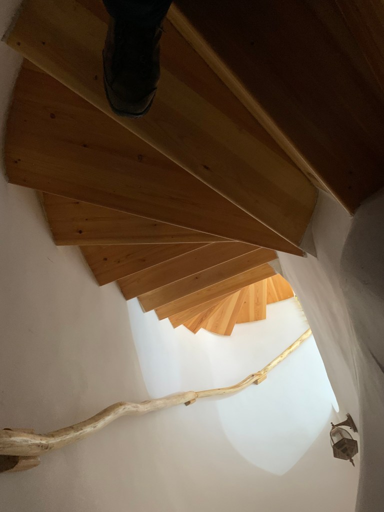
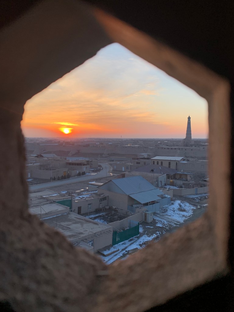
    I was told that the best view of sunsets over Khiva was from the Polvon Ota hotel, near the East Gate. The hotel used to be a madrasah, and access to the upper floor is a challenge – steep, spiral staircase (and no lift) – how do they take the luggage up?.  But the views over the city are rewarding. They are even more spectacular from the adjacent minaret. Even if the climb is up yet another spiral, dark, narrow, uneven staircase.  

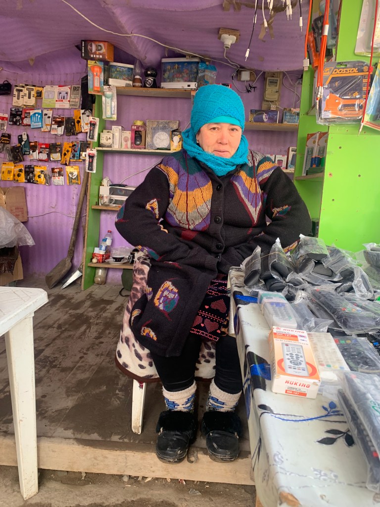
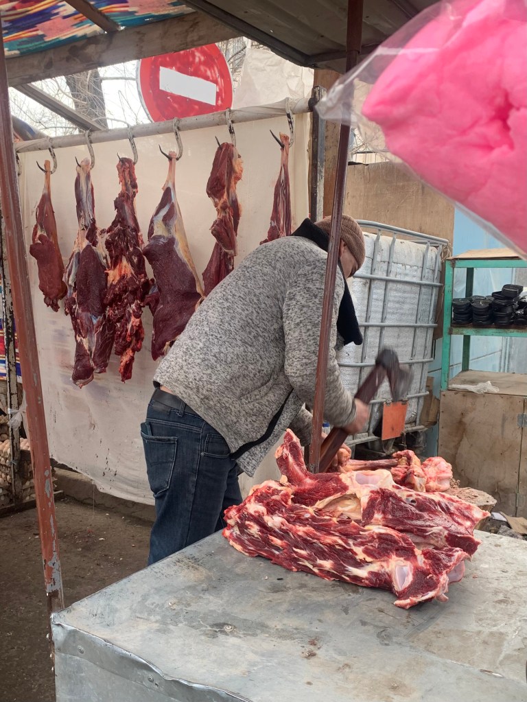
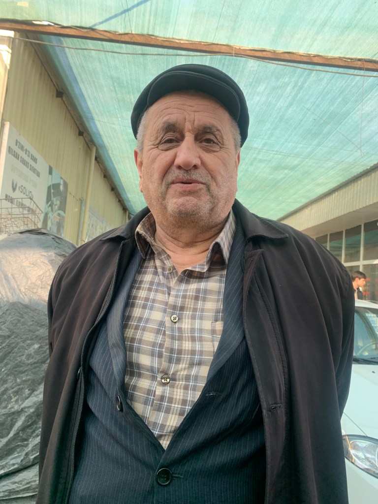
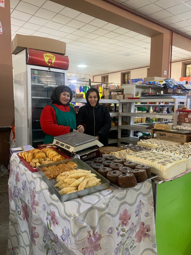
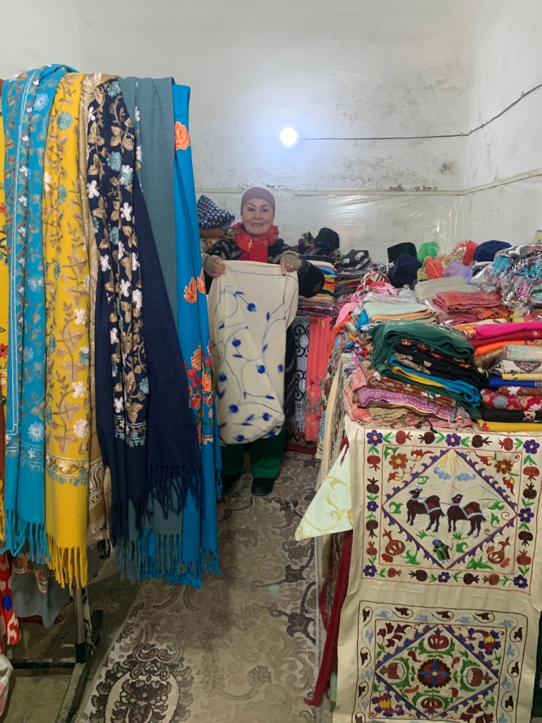
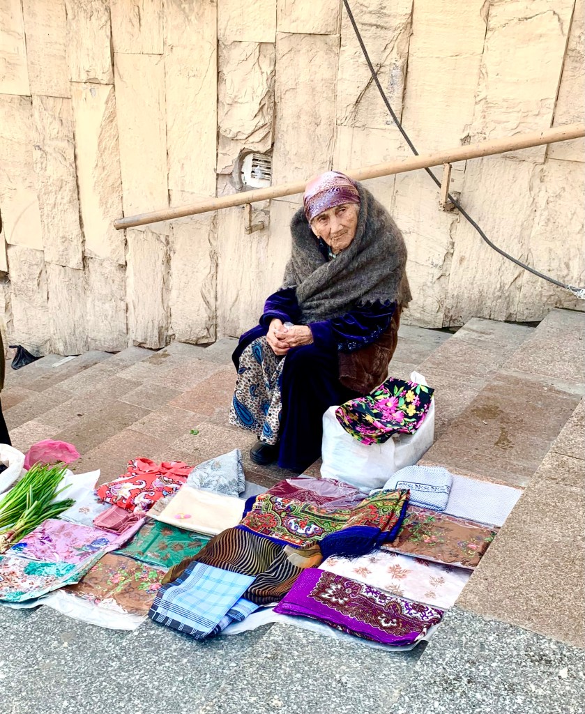
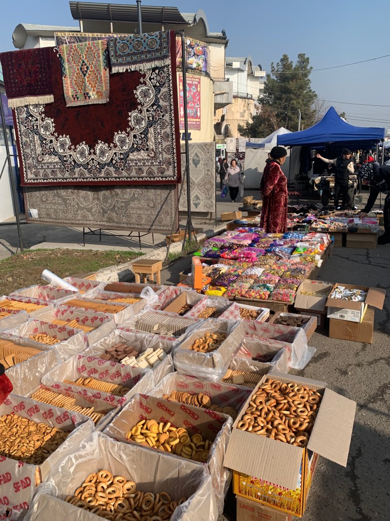
    The markets are places that permanently fascinate me. The way food and goods are displayed, the variety of merchandise, the way people behave. I have been greeted often as I wander around, asked where I was from (and, of course – how old I was), what did I think of their city… And whenever I needed help in finding a place, people have been invariably helpful – often taking me to within sight of where I wanted to go. 

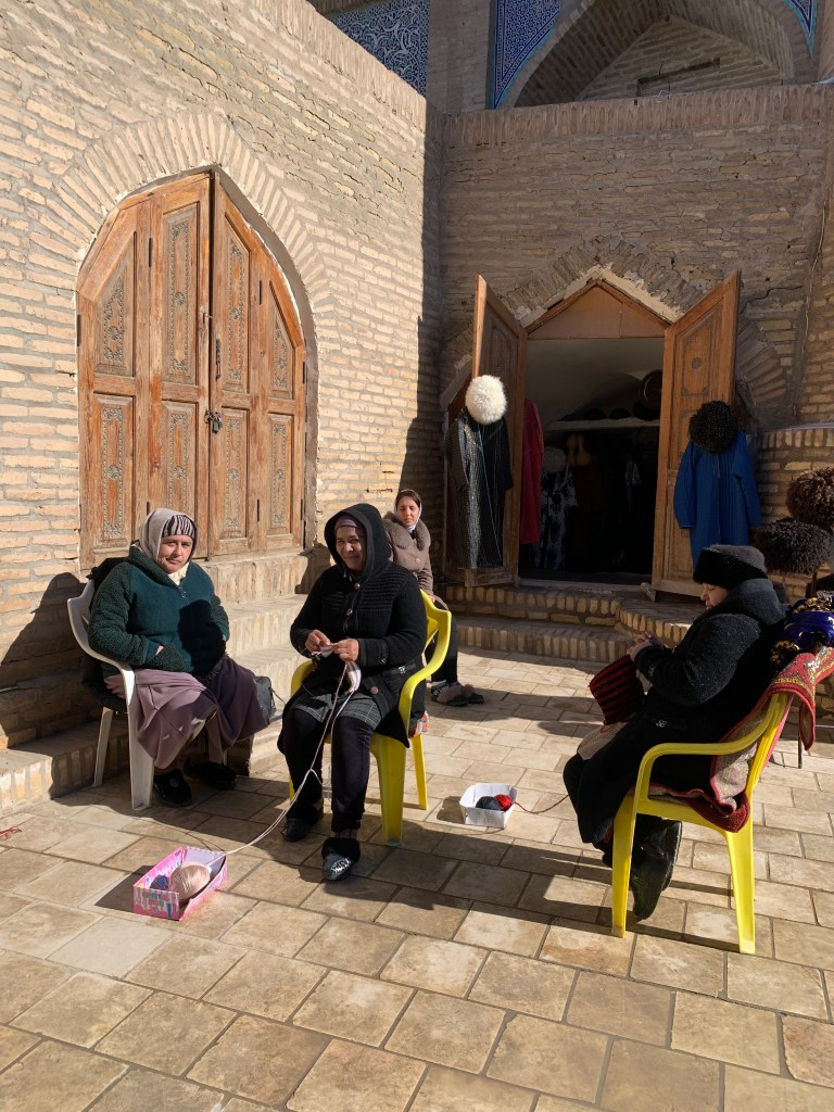
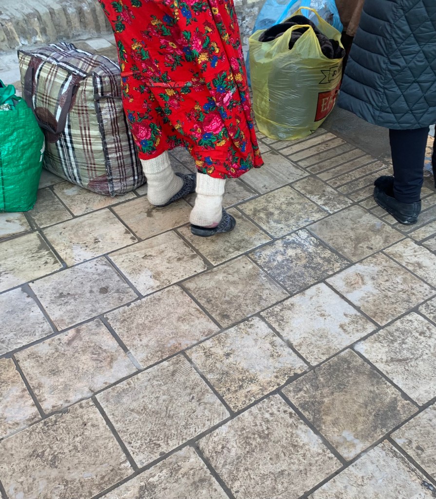
    The women’s footwear was another thing that caught my attention, especially the vendors at the market. They wear several layers of (hand-knitted) woolen socks and then stick their feet, or however much or little will fit in, into a slipper. Most of the time the heels are hanging free.

    So many people have gold teeth. I wondered why – one explanation was that it was a hangover from Soviet times, but no explanation as to purpose – was it decorative or needed because of poor teeth/diet or poor dentistry?

    I shared a dinner with the Chinese girls I had met along the walk to the taxi “rank” at Khiva station- between us we drove a hard bargain and got a ride to the old town for a third of the asking price. We were going to share the cost of the excursion to see the forts in the Karakalpak desert and the Igor Savitsky museum of disapproved 20th ct Soviet artists in Nukus, but it didn’t work out (Jing is doing a PHD in anthropology and wanted to go to 10 fortresses – I wanted to see the art).

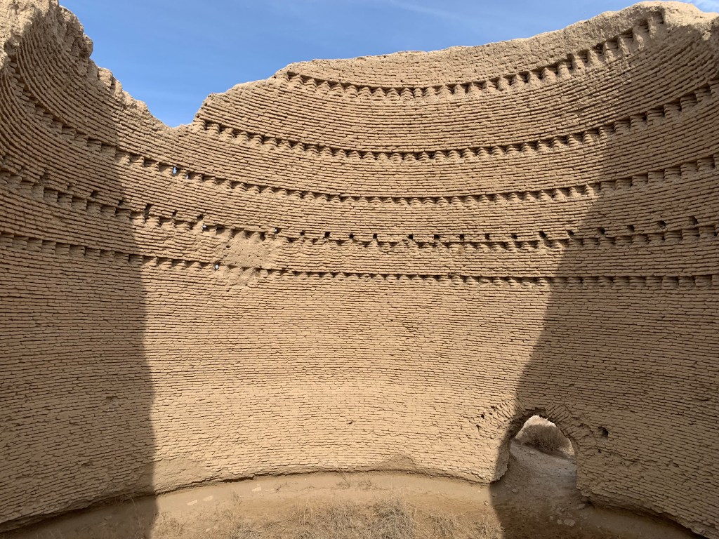
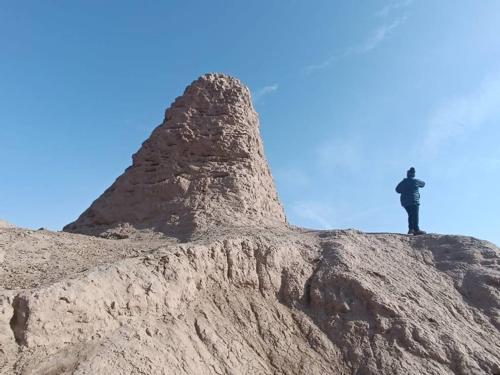
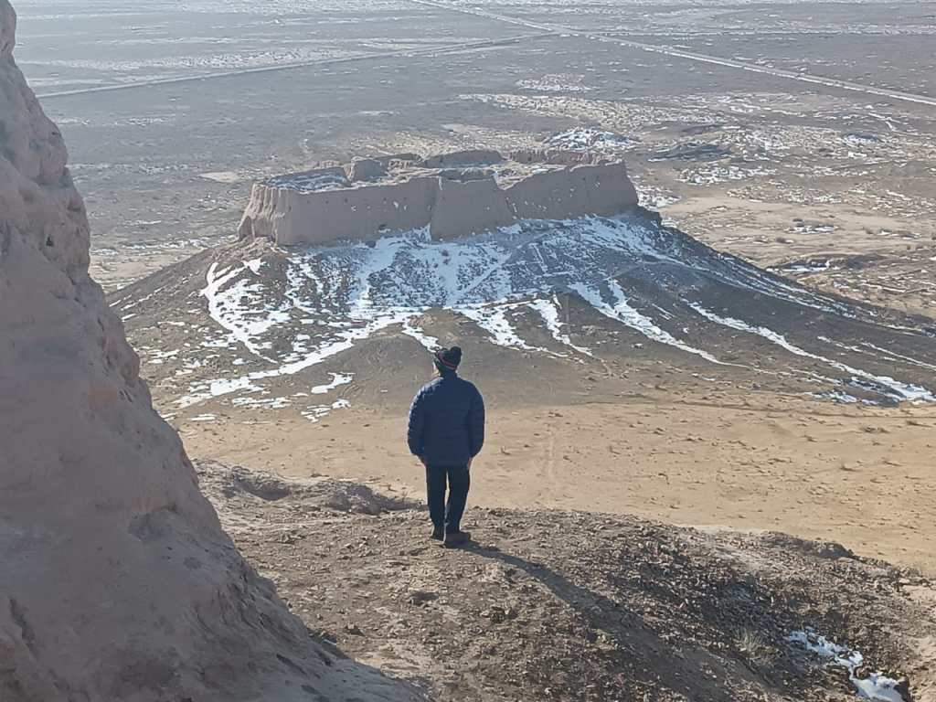
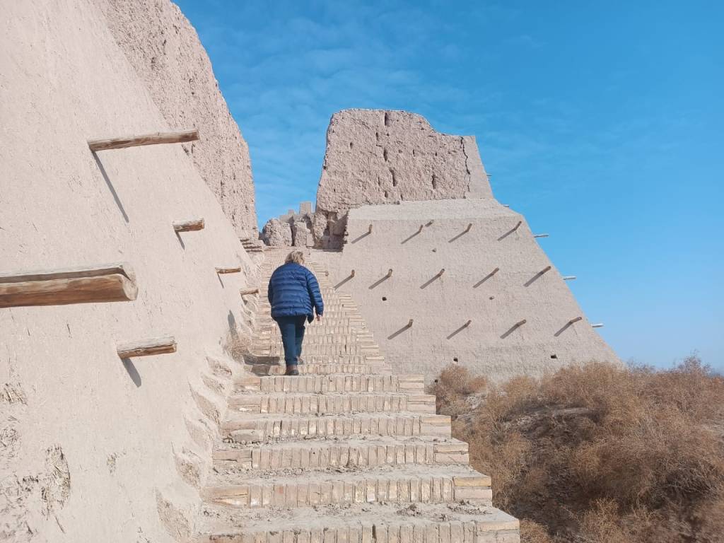
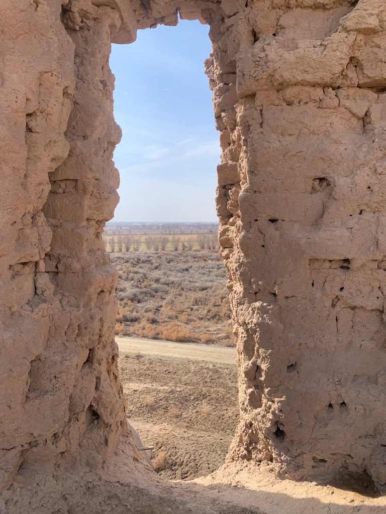
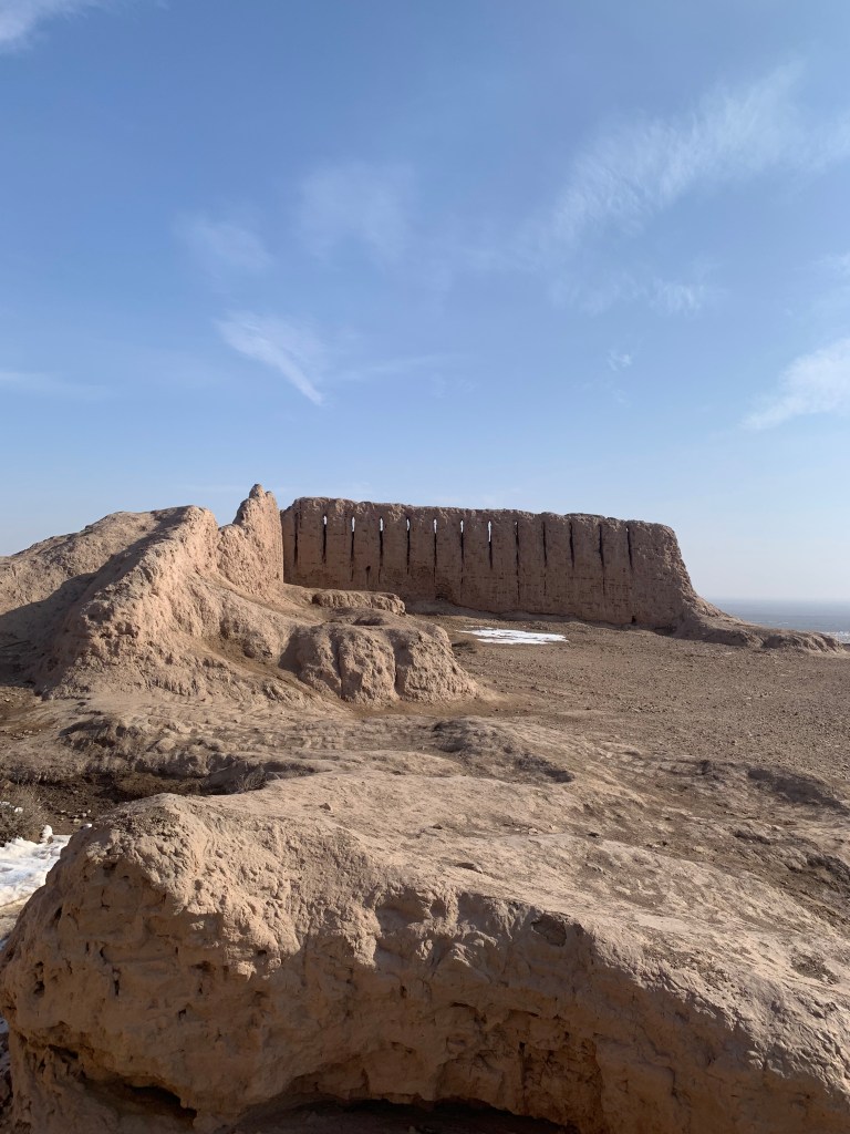
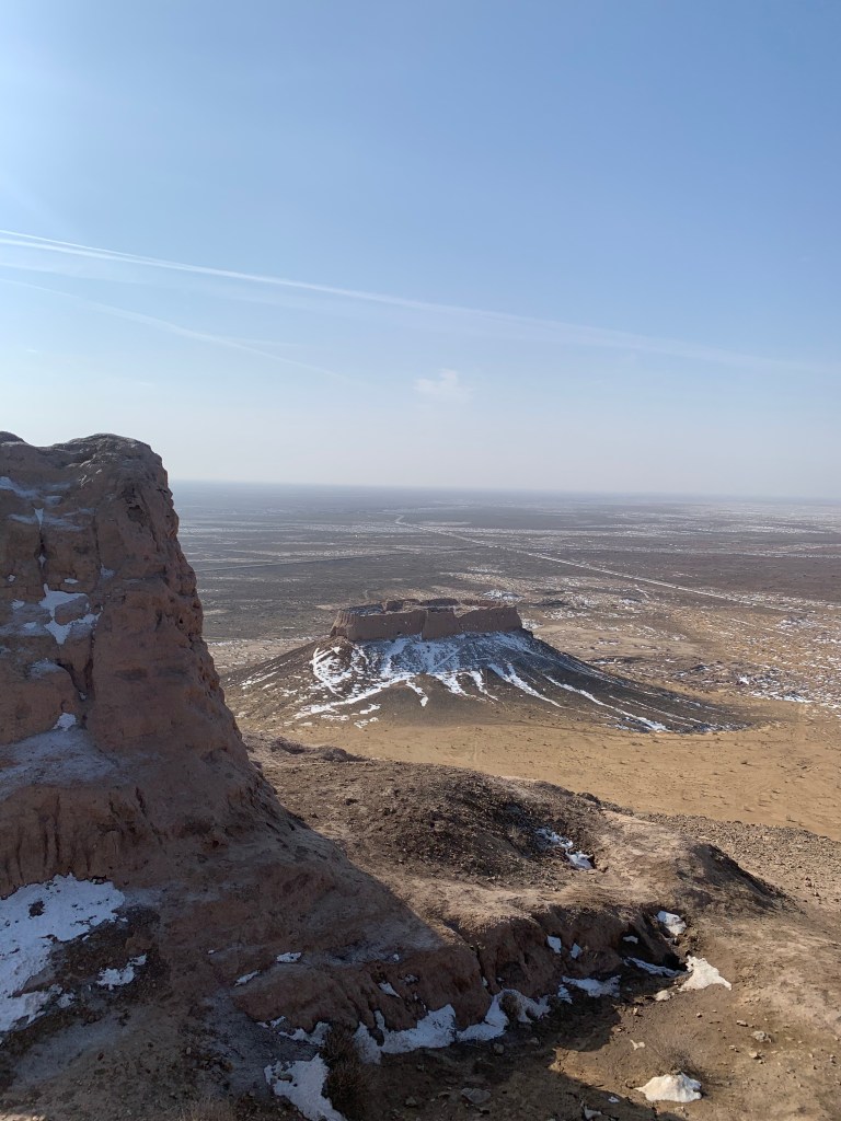
    There are some 50 forts dotted around the Karakalpak (kara= black, kalpak=hat/cap – the land of men who wear black hats) desert, though not all have been excavated or explored. The 4 I visited gave me a good idea of what they may have been like in their heyday: thick, well fortified walls, 360 degree views over the plain, room for the garrison and villagers.

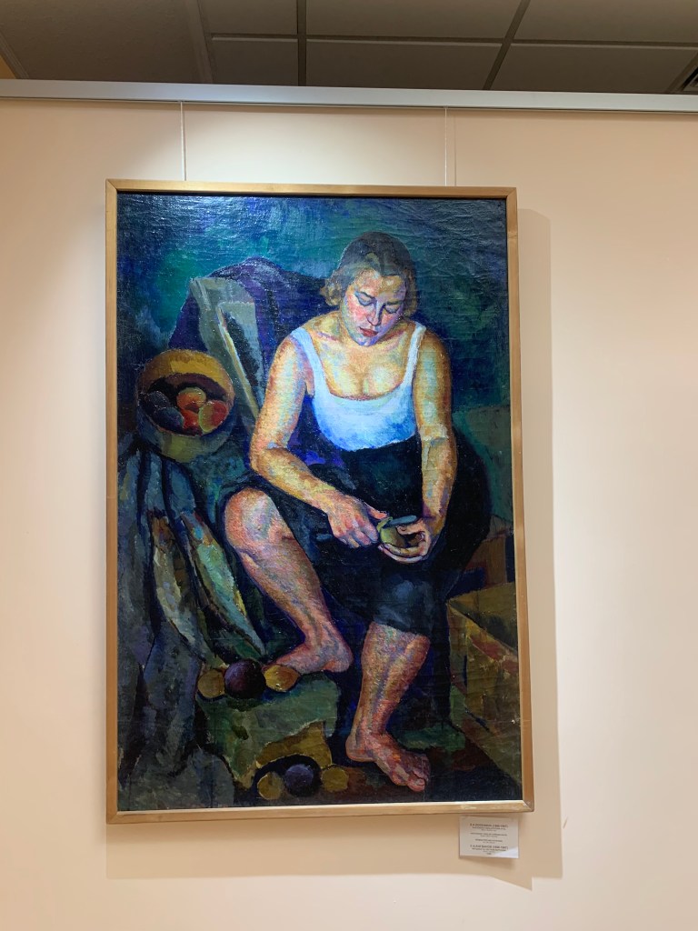
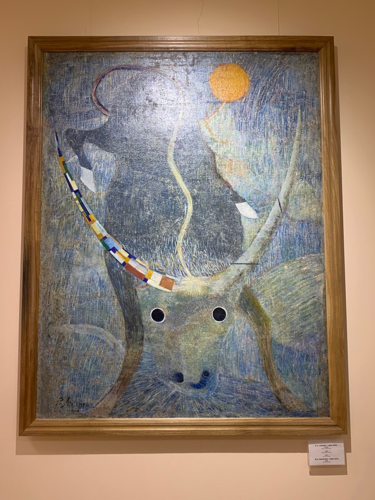
    The Savitsky museum in Nukus. The works collected are so varied it is now hard to see what was the objection – the socialist realism may have been the tune to which all artists had to sing, but a number of artists have been disapproved of for reasons that had little to do with art.

  • Bukhara

    Feb 5th, 2024

    Bukhara is only a couple of hours away from Samarkand on the comfortable fast train (the same one I took from Tashkent). The weather changed more quickly. The rain was coming down in sheets as we arrived. I was the last off the train, covering my rucksacks in waterproofs and hoping it wasn’t too far to the transport – the Bukhara train station is not in Bukhara at all, but in Kogon, 10 km away, known as Bukhara 1. The taxi drivers were there, touting; it is not easy to drive the price down when you are getting soaked, and they know it. (Managed to get it to half of the asking price.)

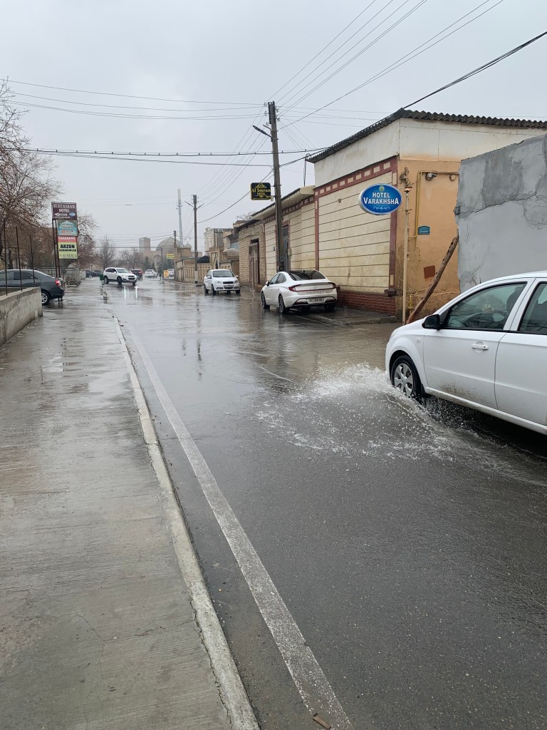
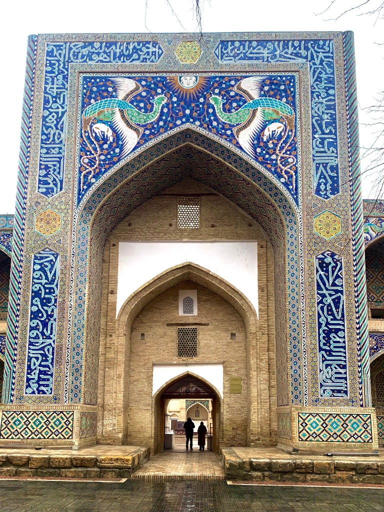
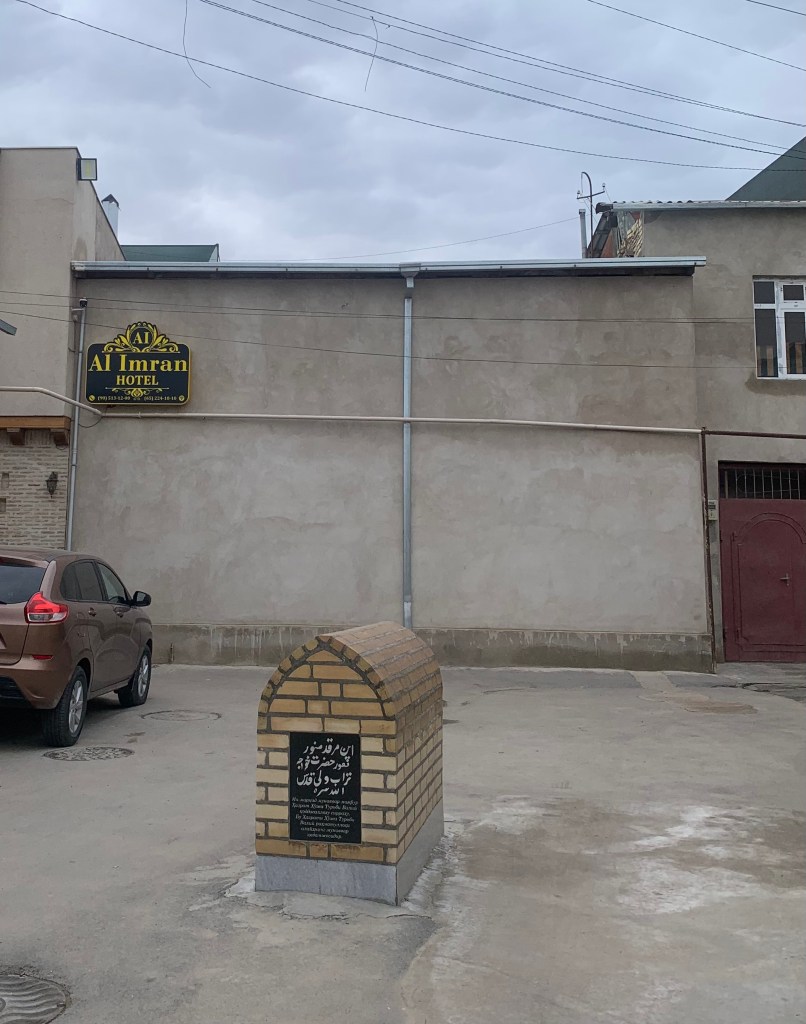
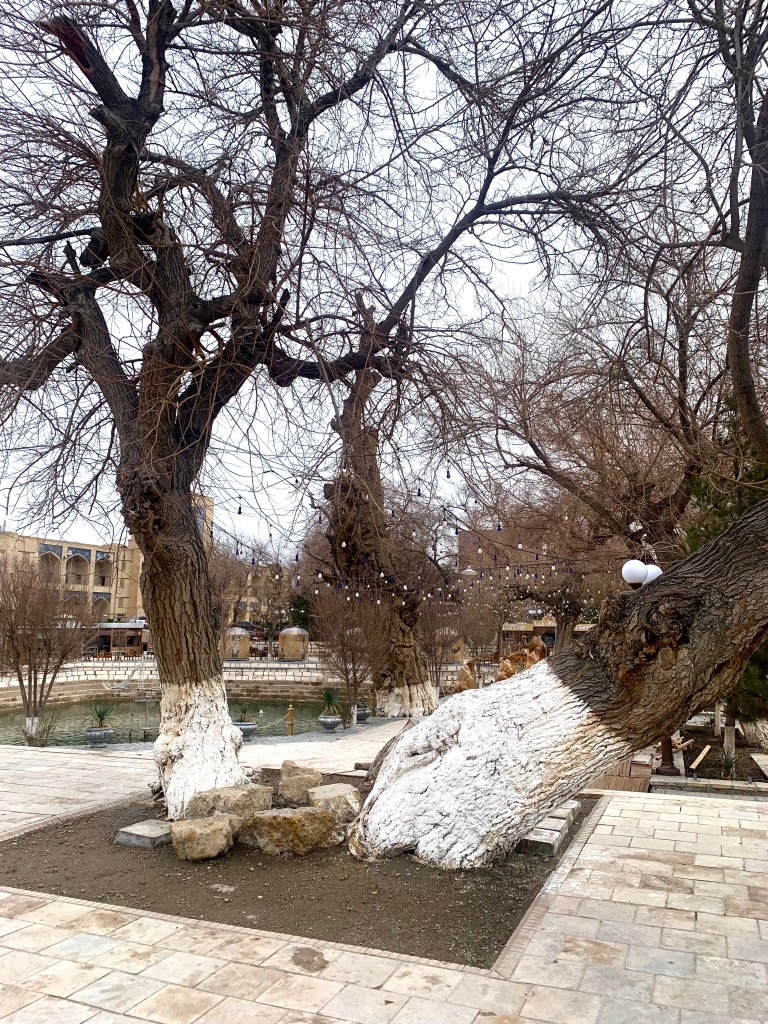
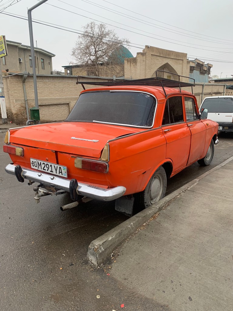
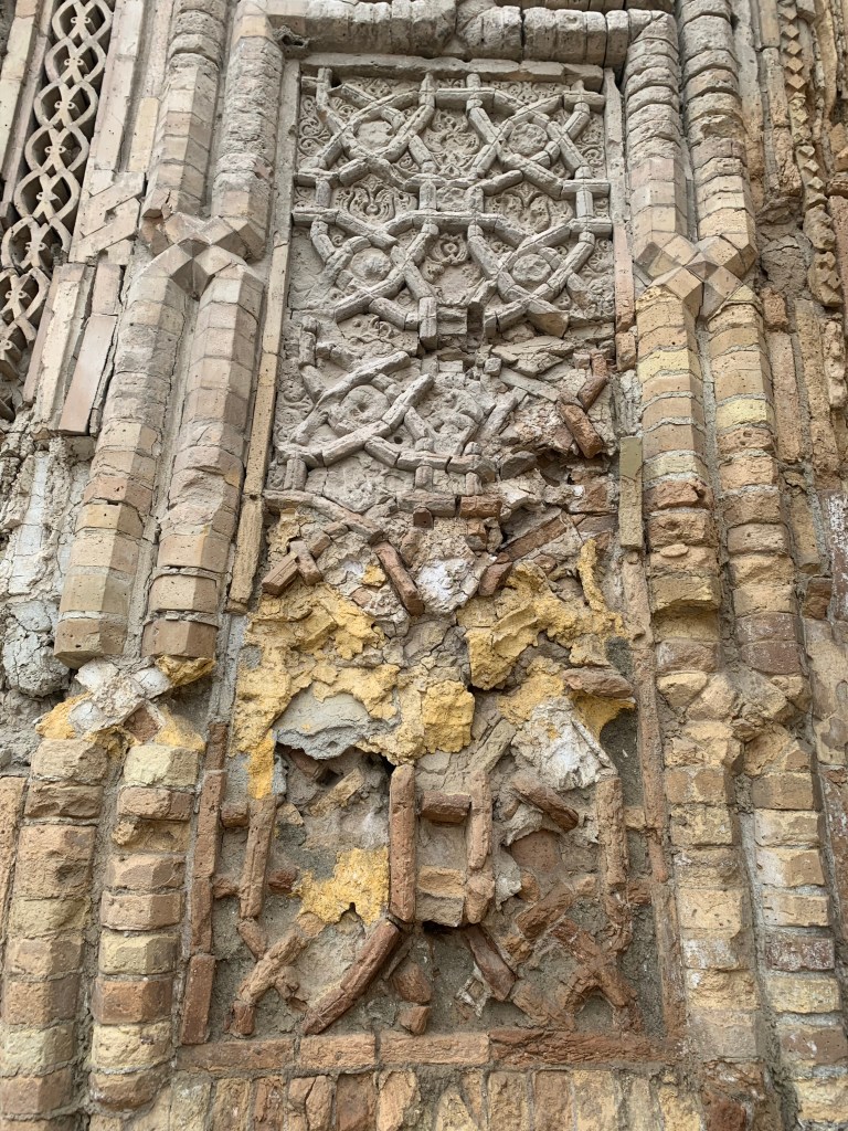
    The beauty of Old Bukhara was not diminished by the rain, just different. The houses are built very close and the narrow streets all seem to connect – I found several ways to get to my hotel, though at first it looked like it was in a cul-de-sac. With a 16ct hoja’s tomb in the middle of the yard/parking area. There are many old mulberry trees around, and some truly old cars – like this Moskvich.

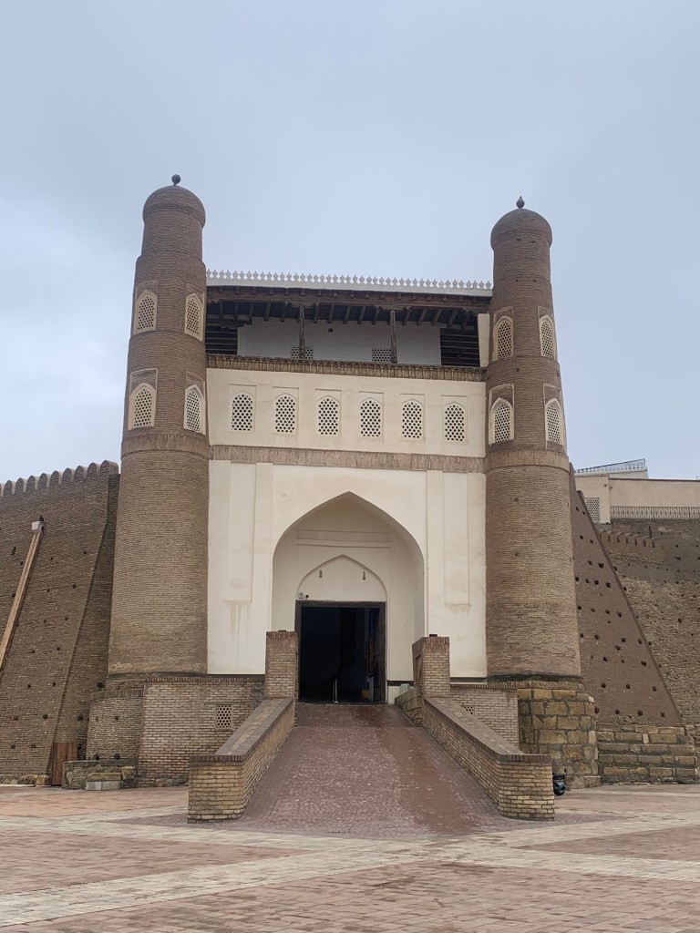
    The space around the madrasahs and mosques, forts and palaces has been cleared and paved with marble, a far cry from the dust (or, as on my first two days, water and mud) of the past.

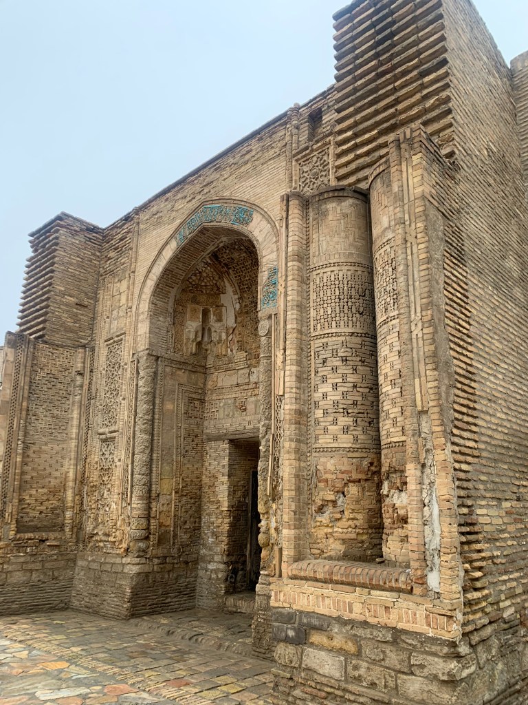
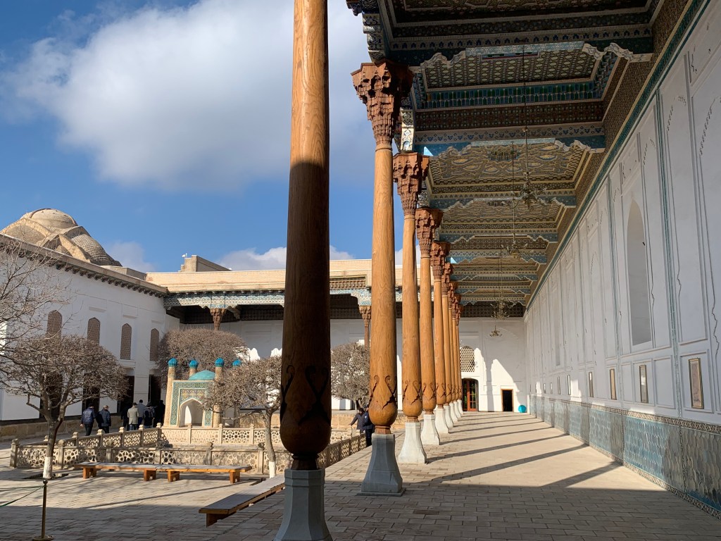
    The oldest mosque in Bukhara

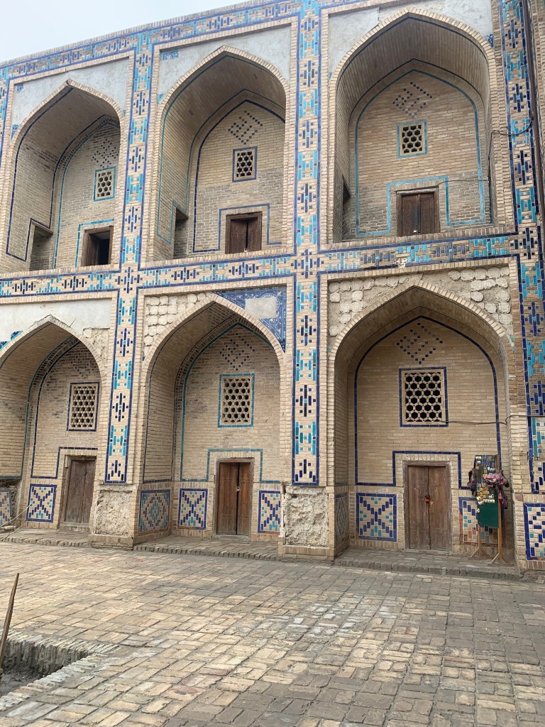
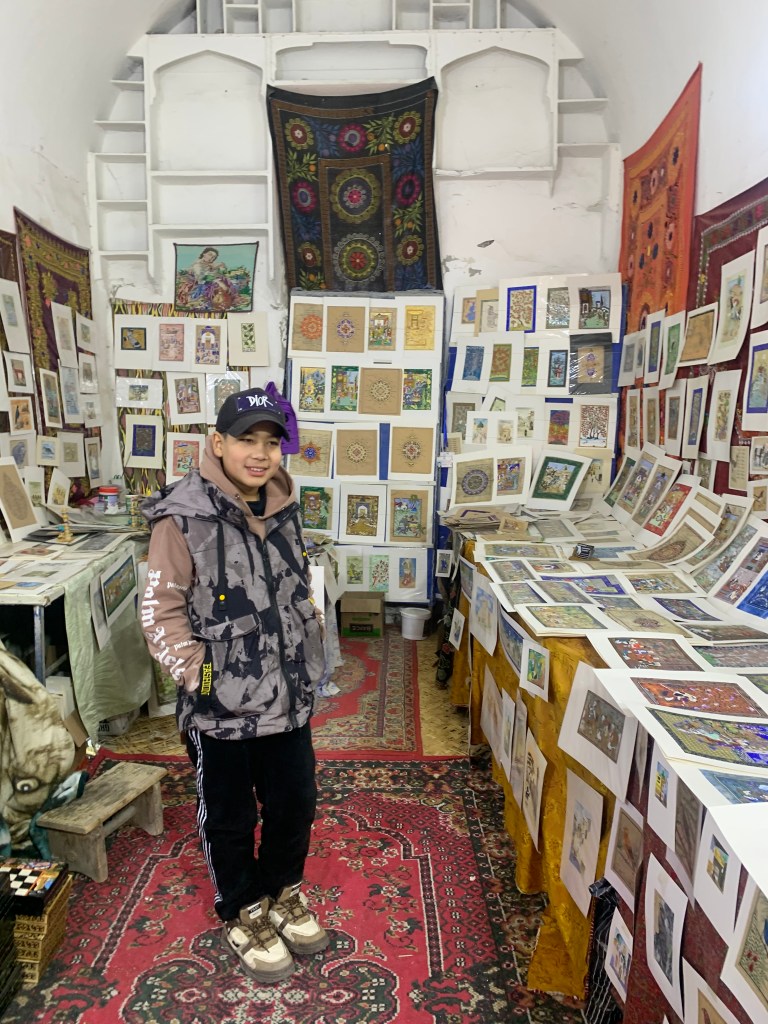
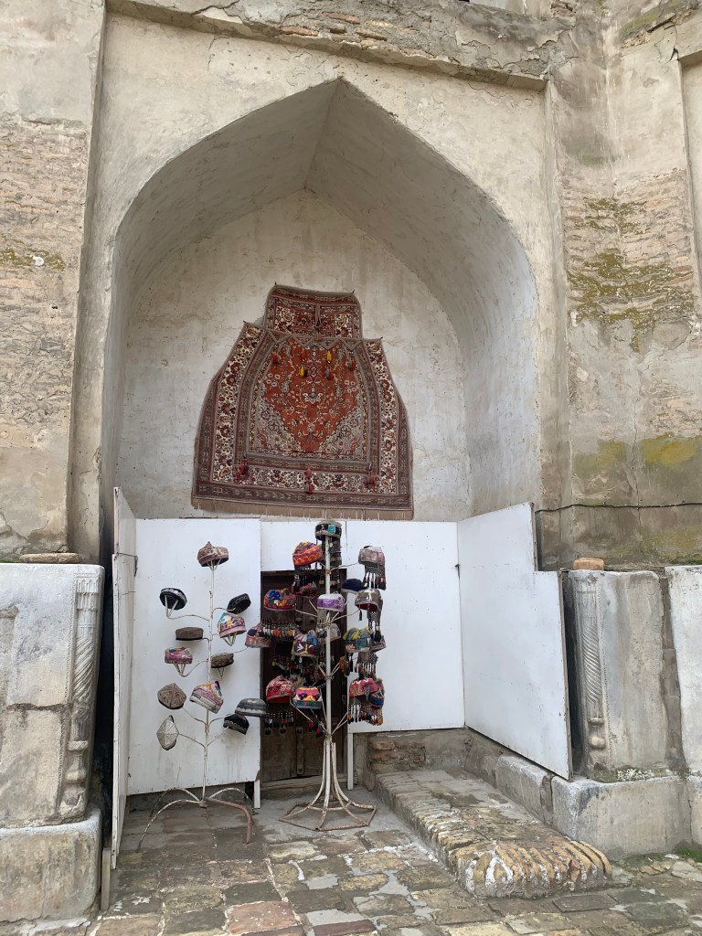
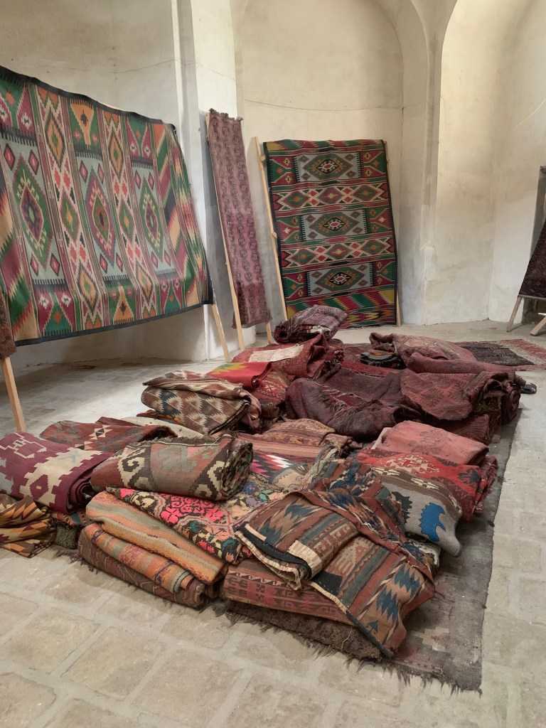
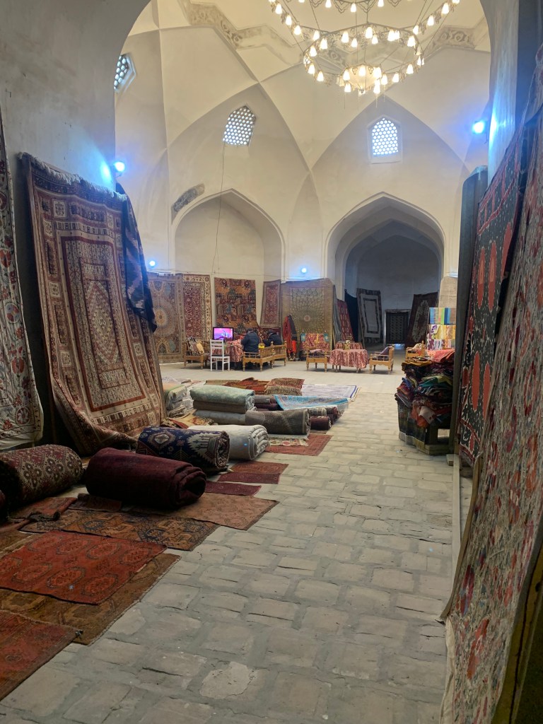
    Most of the students’ rooms in the old madrasahs are now crafts and souvenir shops. Silks, embroidery, miniatures, tat, books, gold, silver and copper, hats, ceramics. (Some old madrasahs still use the spaces for learning, but most are now given to tourist trade, an important part of the local economy. Though people are quick to point out that (new) Bukhara is a thriving town with a variety of industries and enterprises.)

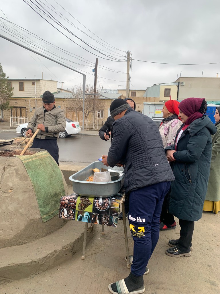
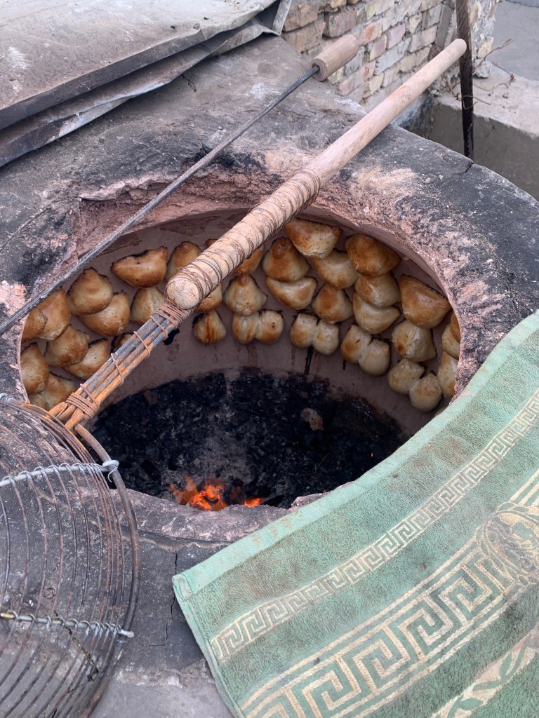
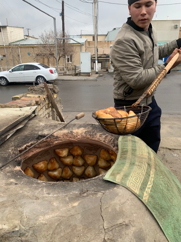
    Uzbek food is quite rich – lots of meat and dairy, very tasty breads, lots of pickles and dried fruit (in winter), plenty of nuts and seeds. And ubiquitous chai. Samsa, the Uzbek pasty (beef, chicken, mutton, potato or pumpkin filling with onion and spices), is available on many a corner at lunchtime: the earthenware round ovens (tandir) are fired up in late morning and the queue forms quickly once the samsas that have been slapped onto the hot sides of the oven start being scraped off.

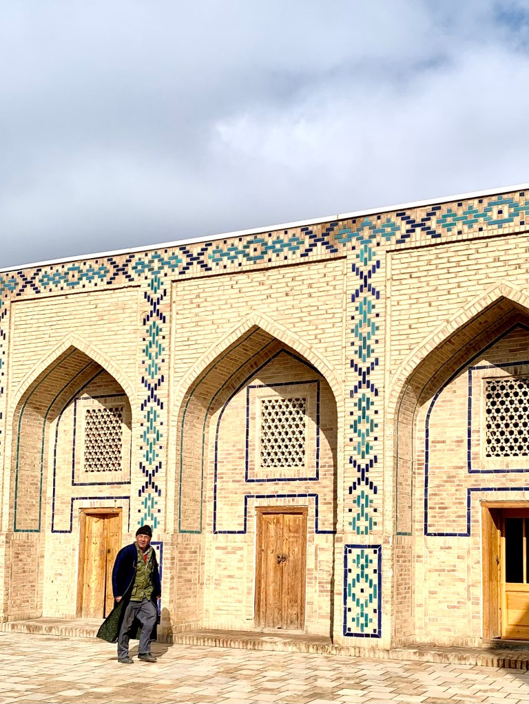
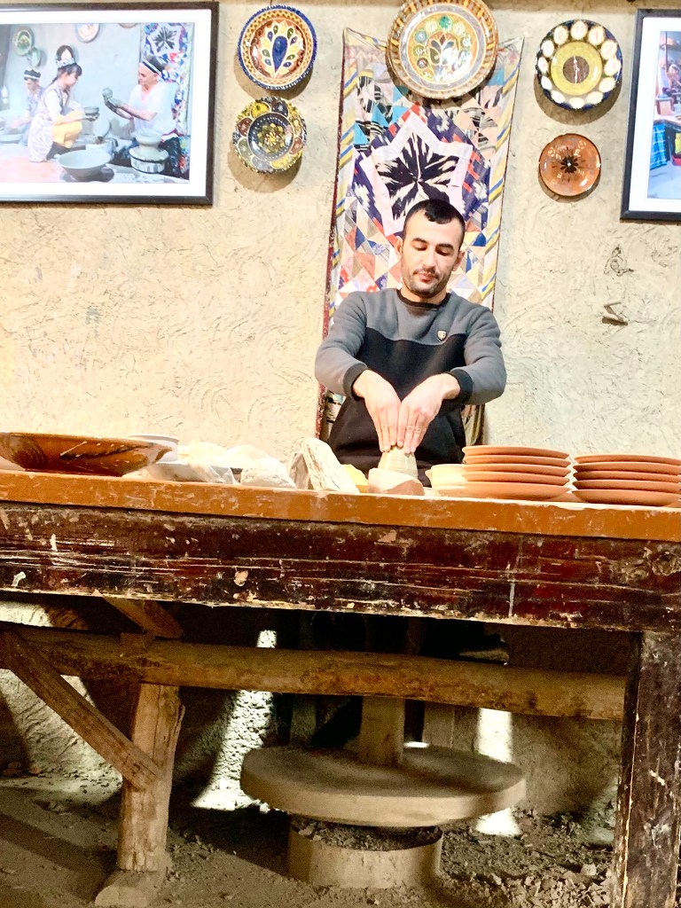
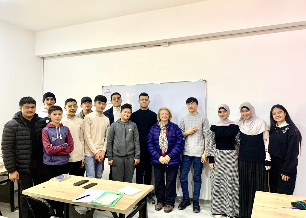
    On a day trip out of the town (very flat landscape – after all, Bukhara was an oasis in the desert), besides the impressive mausoleums and places of pilgrimage, the Khan’s lovely summer palace with peacocks strutting in the garden, there was a ceramics workshop that has been in the same family for 300 years – they somehow even managed to carry on during the Soviet era when private enterprise was not encouraged. They still use the same techniques in making the ceramics, including powering the potters’ wheel with their foot. The family is moving with the times though – they have a language school upstairs and I met a group of students learning English. Very polite and a bit shy, but it didn’t take them long to ask if I had an Instagram…

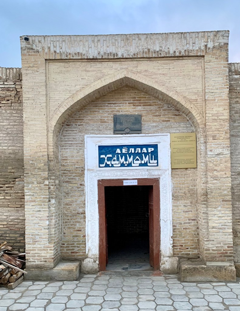
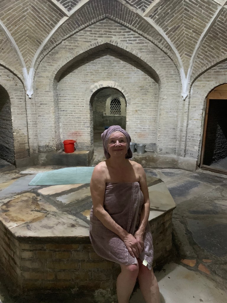
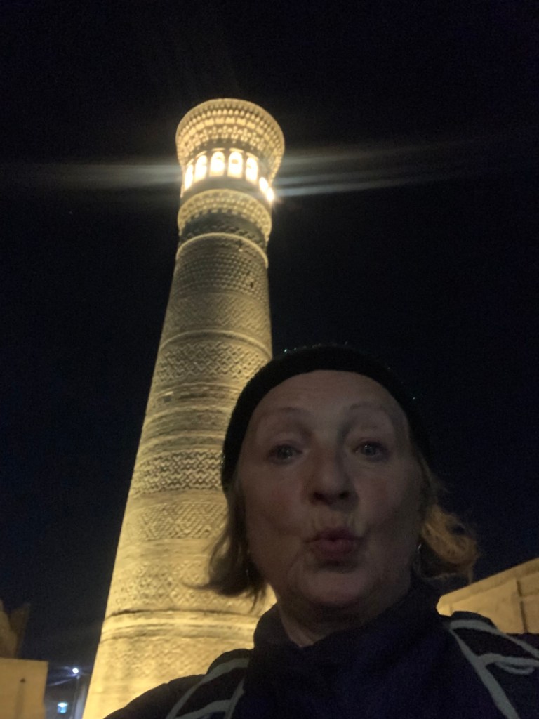
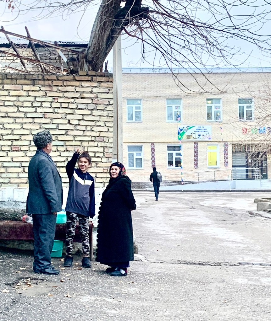
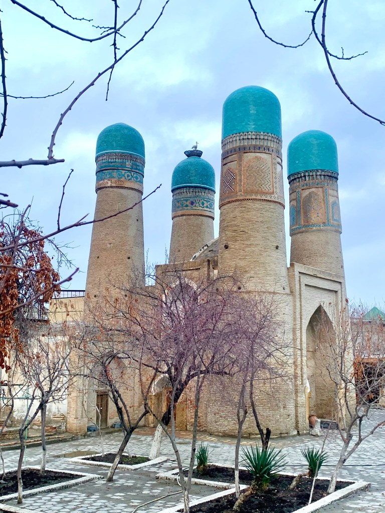
    I did enjoy the hamam. Tucked away behind the giant minaret, it has been serving women of Bukhara since the 1500s. (There is also a men’s/mixed one, from the same period.) I came at the right time – no other customers – and Mahfuza took her time to sit with me and was wonderful in explaining the role of the hamam in women’s life in the past – a club where women could discuss matters freely, where young women were prepared for marriage, pregnancy and after birth care and also where Khan’s harem candidates were spotted. I took a walk afterwards, and near the Chor Minor madrasah (The 4 brothers) a girl with her grandparents asked me (in English) where I was from, how old I was, if I liked Bukhara, did I have children… she was clearly gifted – she has only been learning English for a year…:)

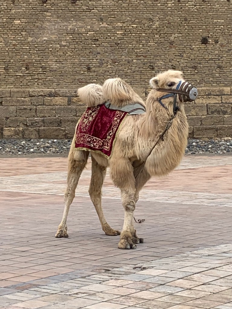
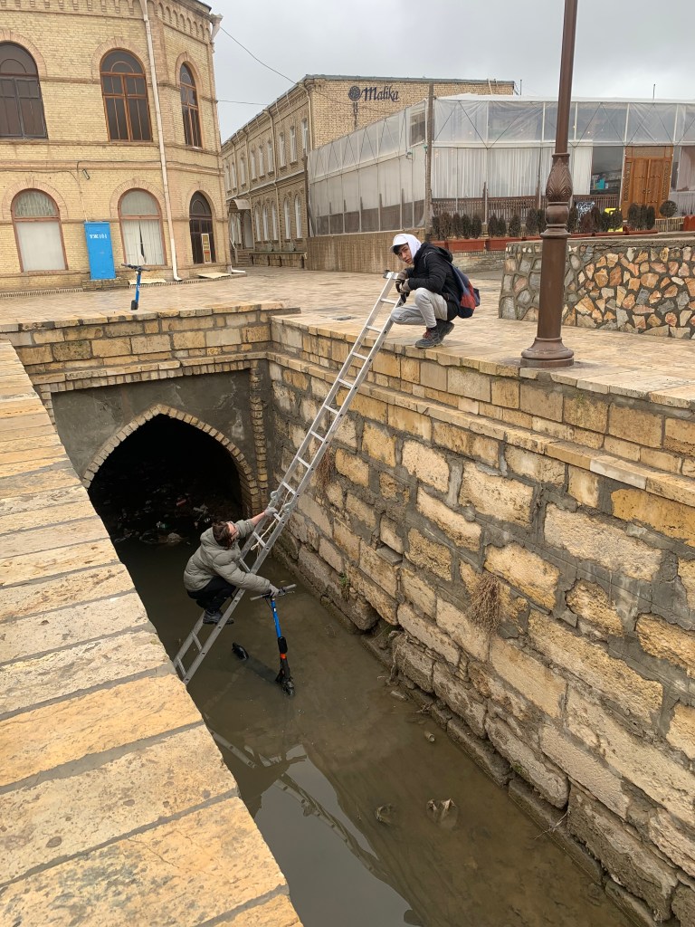
    These last two images: one saddened me – the camel in front of the Bukhara Fort, looking out of place, muzzled, there for us to climb on and have a photo taken. The A frame ladder didn’t make it into the photo.) The other amused me – here, too, someone threw the scooter into the canal. Getting it out was not easy – too heavy to lift with one hand, so they had to go fetch a rope…)

  • Samarkand

    Feb 3rd, 2024

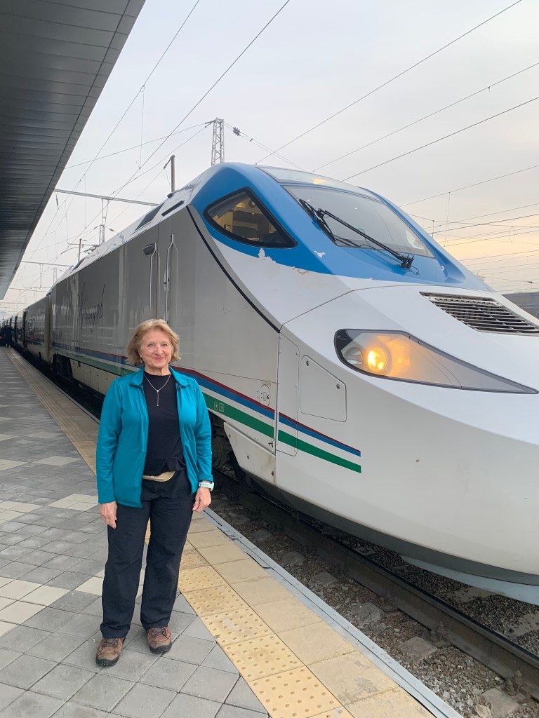
    The fast train from Tashkent to Samarkand takes just over two hours. A comfortable journey, with staff welcoming you at the door of every carriage (and checking your ticket), very much like an airline crew would. The trains get booked up very quickly, even in winter, and I dread to think what it might be like in high tourist season. Tickets are wonderfully cheap – long may it last – about £13 one way to Samarkand, then £9.60 to carry on to Bukhara. I shall also be taking a sleeper (at an ungodly 03:50, a night train that starts in the east of the country) to Khiva, a 6,5 hour trip, for £13. 

    The Afrosyab fast train
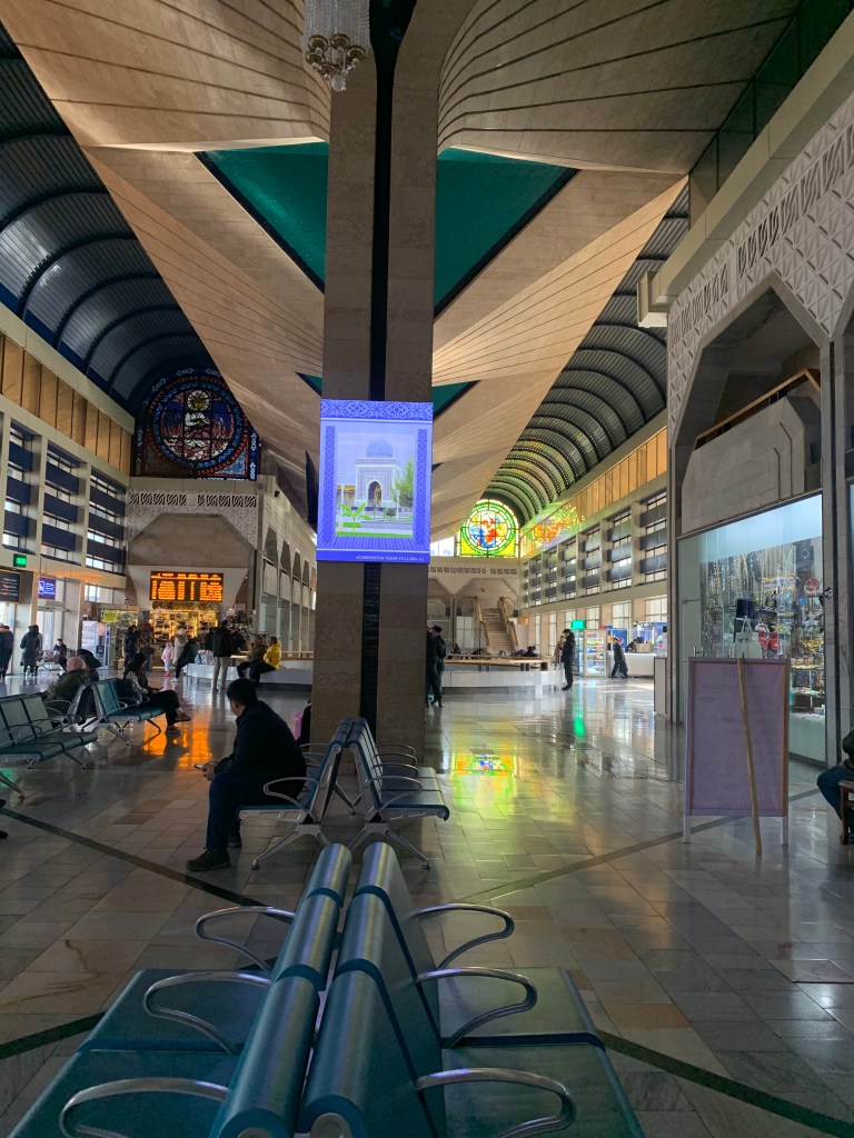
    Samarkand train station
    Gur-Amir, Samarkand

    The Bolshevik revolution and subsequent Soviet rule were not a blessing. However, the railways built across the USSR, linking all 16 (former Soviet) republics, made an immense change in the cultural and economic landscape of Central Asia. The rail tracks are still in place, but a number of them are not in use and often are not maintained. Local issues, long standing fights over territory, arbitrary rules, political unwillingness, make land journeys much longer as one needs to nip back into other countries. You have to go from Turkey to Georgia to get to Armenia (tantalising, seeing the border you cannot cross), then again to Georgia to get to Azerbaijan. The next bit of toggling will be going from Tajikistan to Kyrgyzstan, via Uzbekistan.

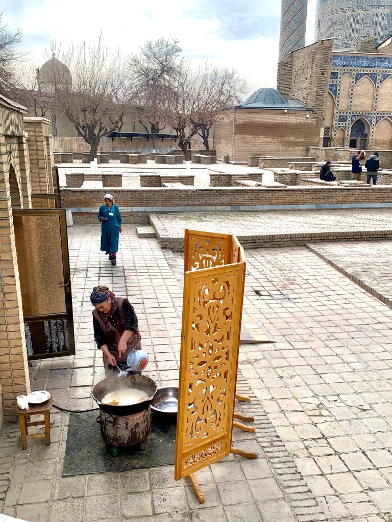
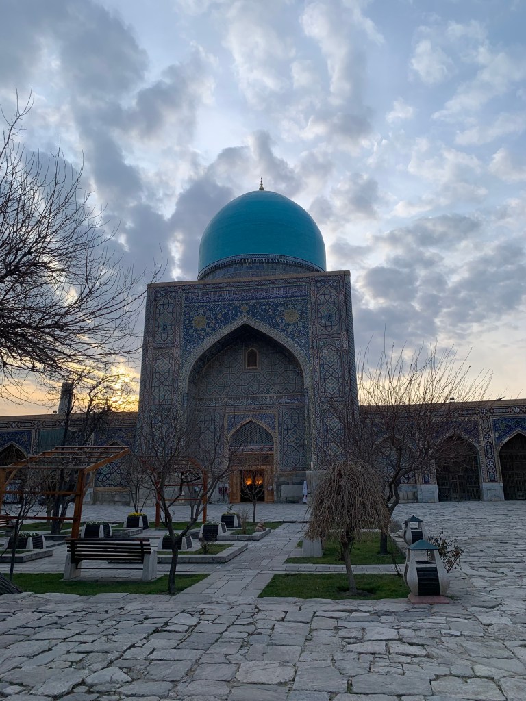
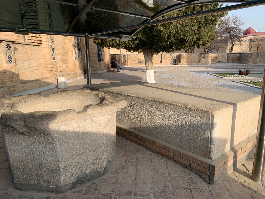
    Samarkand. Even the sound of the name has an exotic, magical quality to me. My little B&B was hugging the walls of Gur-Amir Mausoleum, a graceful building with a usual tall arched entrance, a courtyard, and the mausoleum itself where the jade tombstone of Amir Timur lies among other family tombstones. It was good to see plov (Uzbekistan rice, meat and vegetable dish – like a pilau) being prepared for lunch on one side of the courtyard of the Gur-Amir mausoleum; on the other side is the giant block of stone, thought to have been a pedestal for Amir Timur’s throne, and an immense font that would have been filled with pomegranate juice for his soldiers to drink.

    Making plov
    Pomegranate juice font and throne pedestal

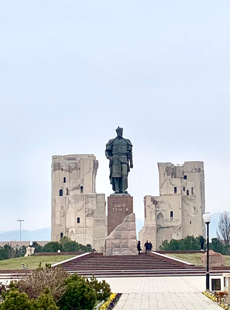
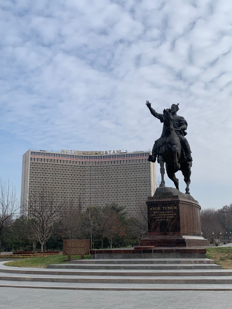
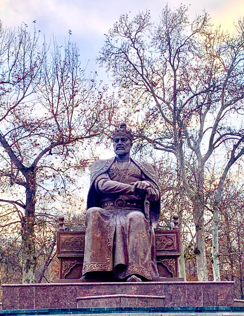
    Amir Timur desired to be buried in his birthplace, Shakhrabaz, but Samarkand had been his royal seat, and so others decided he would stay there. The guides tell a nice story about the way he is depicted in different places – in Shakhrabaz, he is standing – that’s where he rose; in Tashkent he is on a horse, for his victories, and in Samarkand, he sits, as this was his capital.

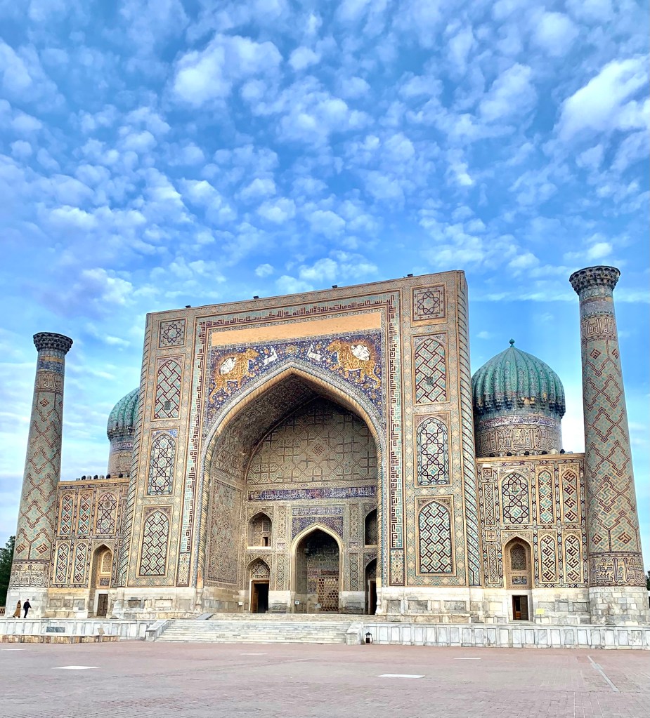
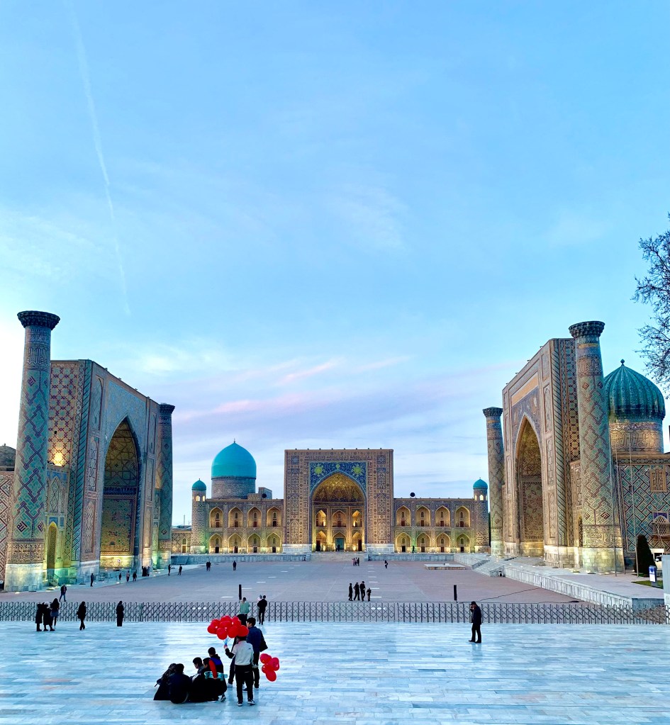
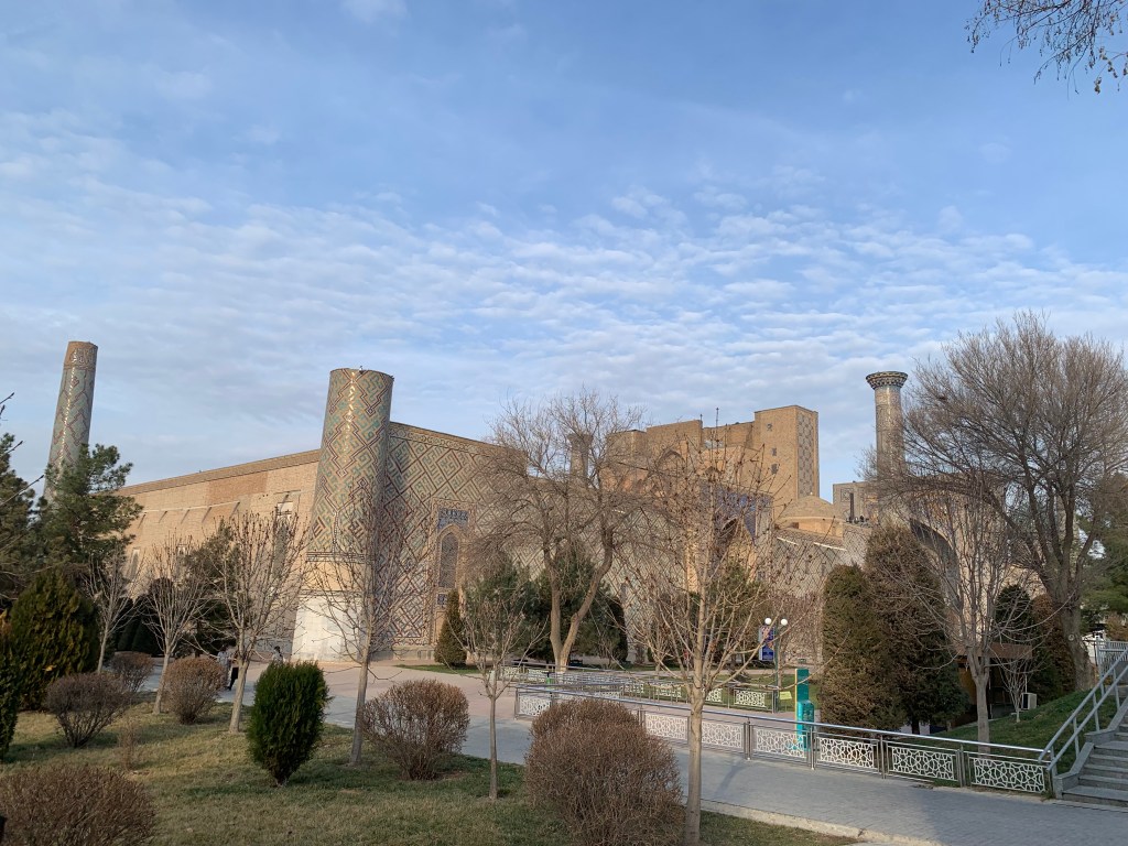
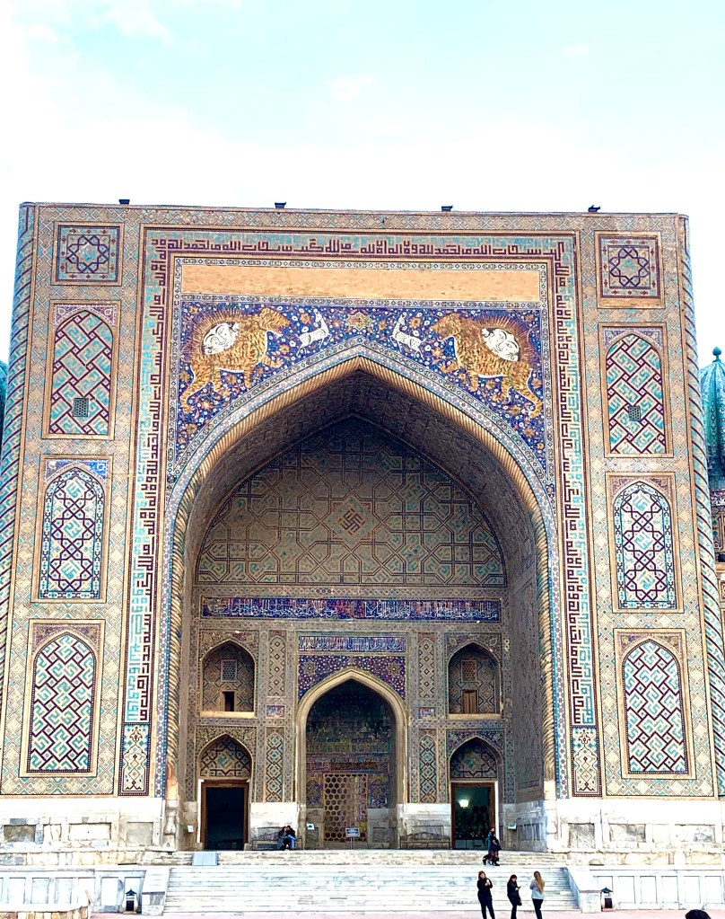
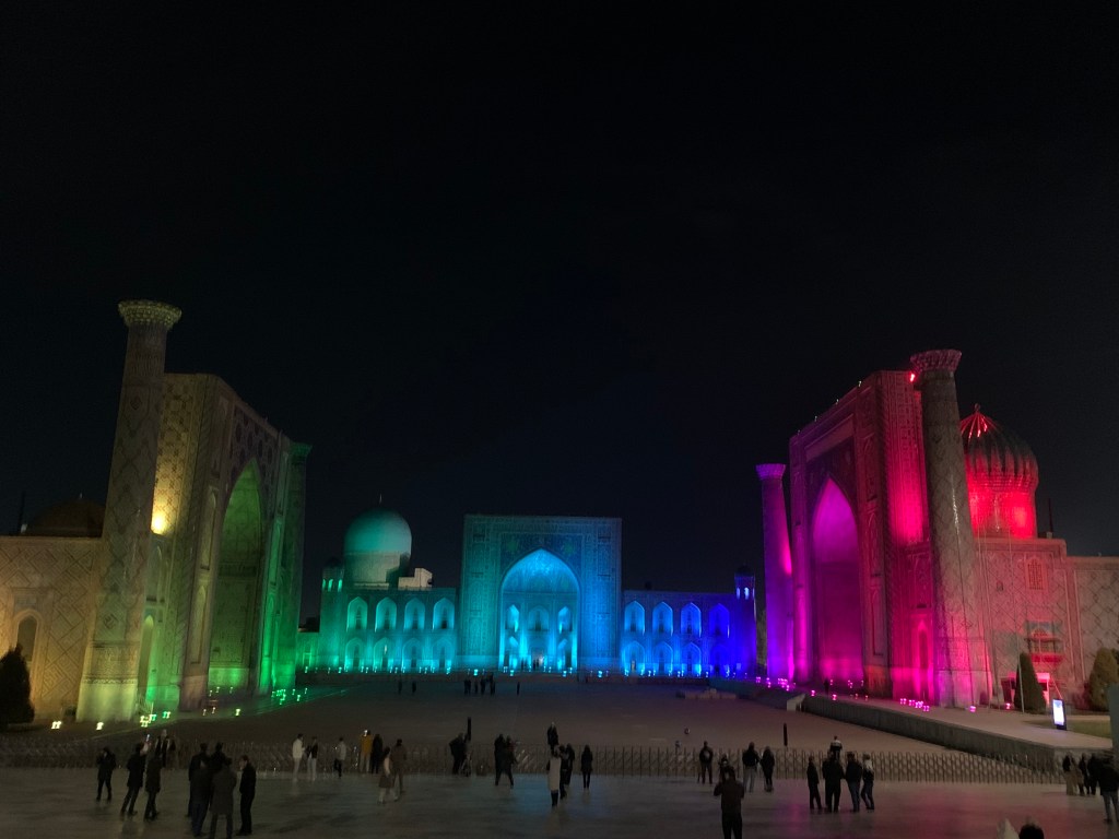
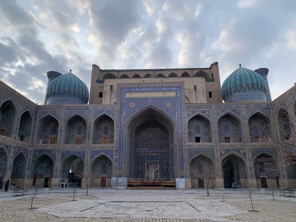
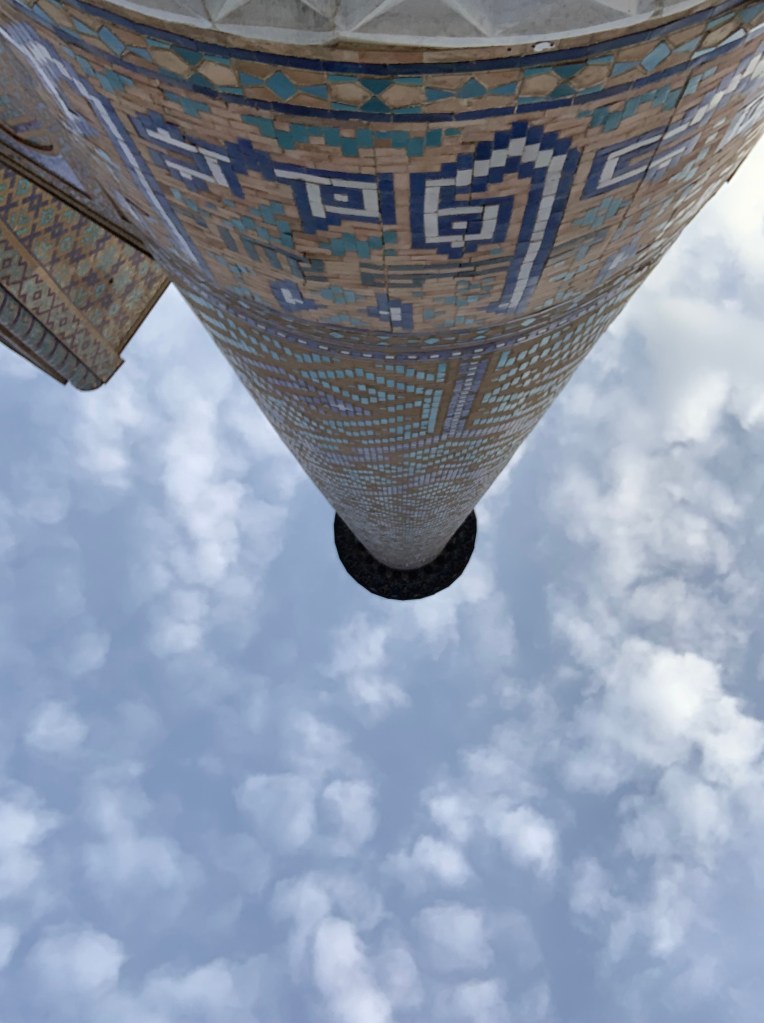
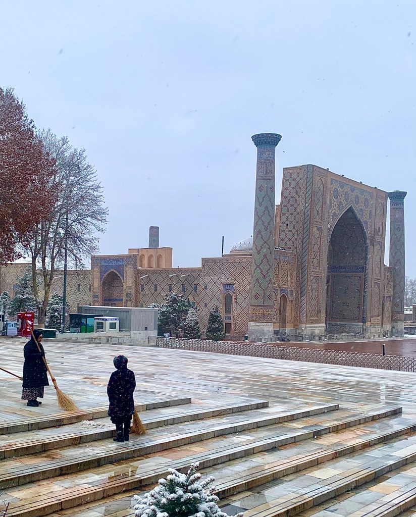
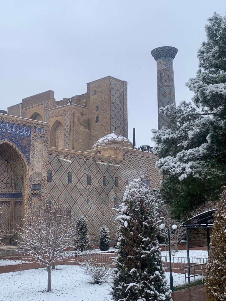
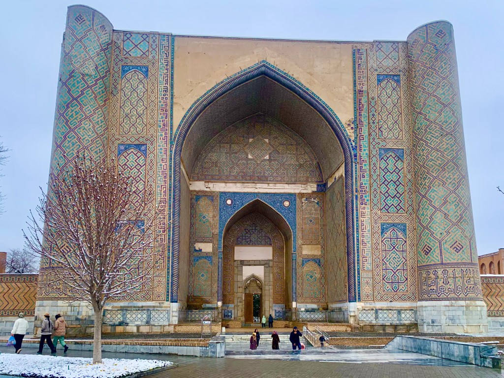
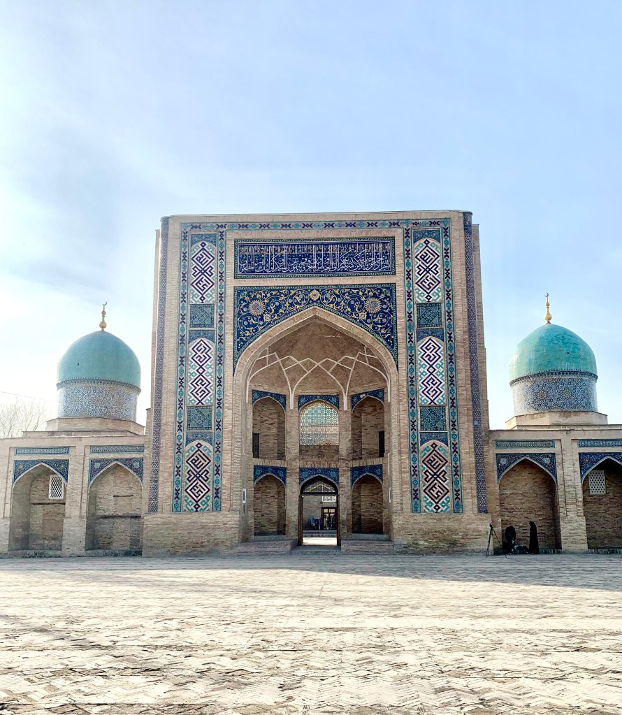
    The Registan, with famously gorgeous buildings on its three side, the gently leaning minarets, the blue of the tiles and the intricacy of the calligraphy in stone, the geometric designs weaving seamlessly throughout, does not disappoint. The pale marble square makes the colours stand out even more. (Though there is a little problem, especially on the marble viewing platform when it snows/ is wet – it becomes very slippery and even the sweepers with their besom brooms shuffle carefully across this shiny skating rink.)

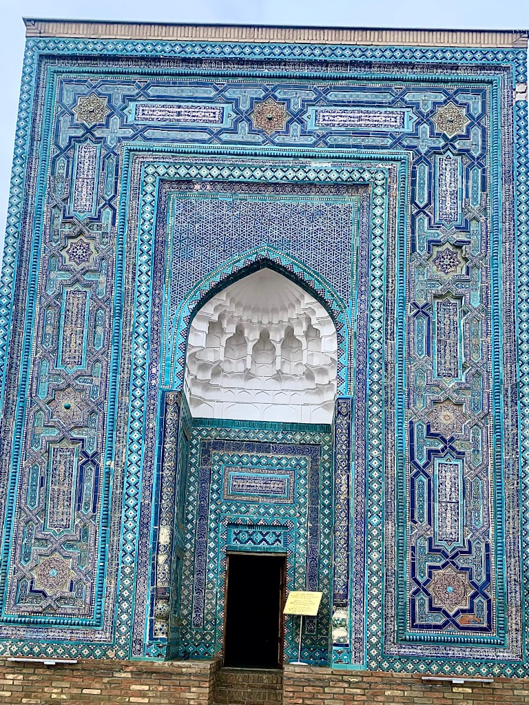
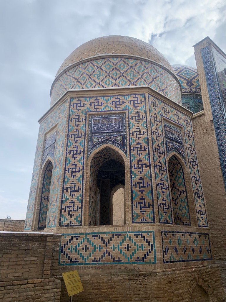
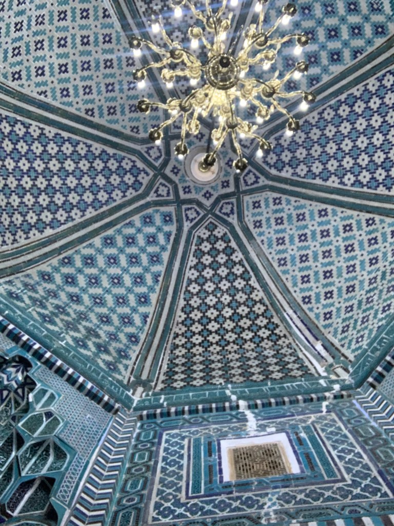
    The blue tiles of Shah-i-Zinda are dazzling, the arabesques and designs whirl with colour and beauty. It struck me that the majority of the places we come to see are tombs, necropolises, mausoleums, cities of the dead.

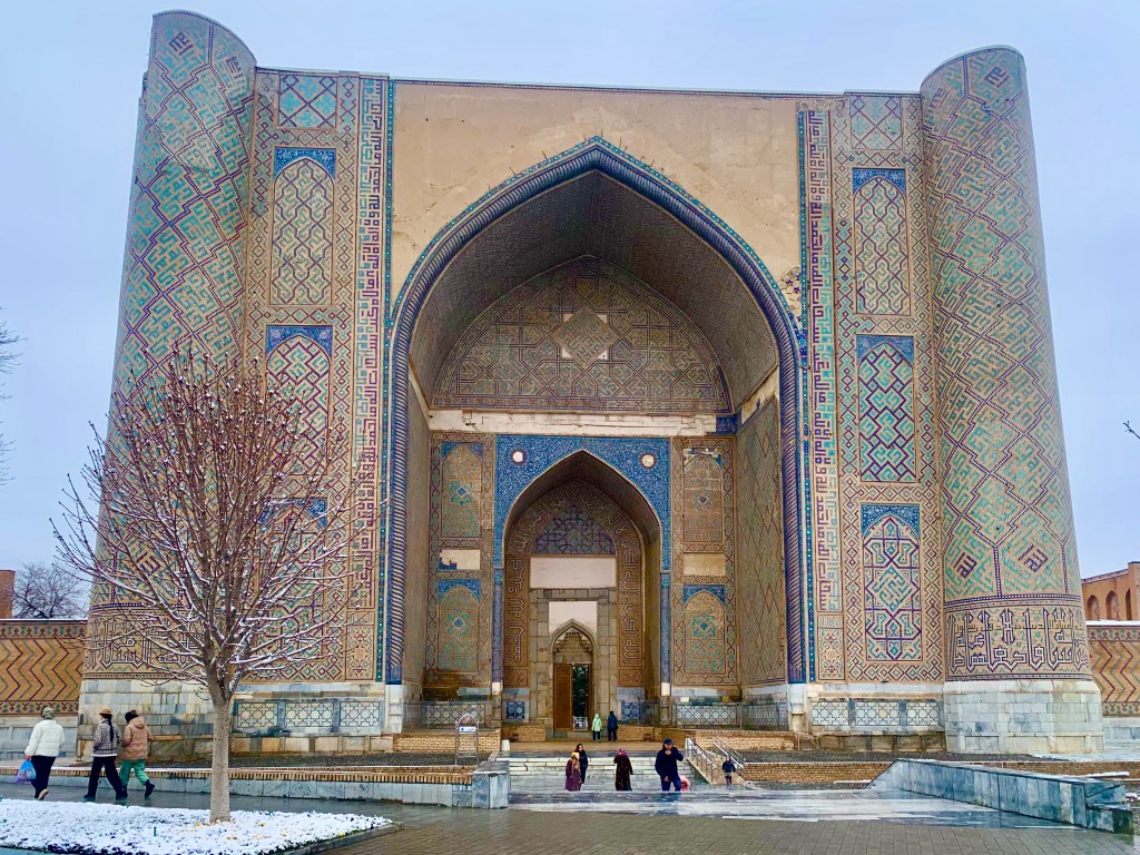
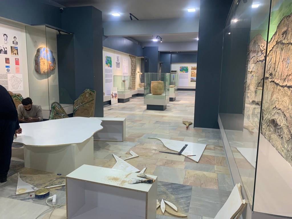
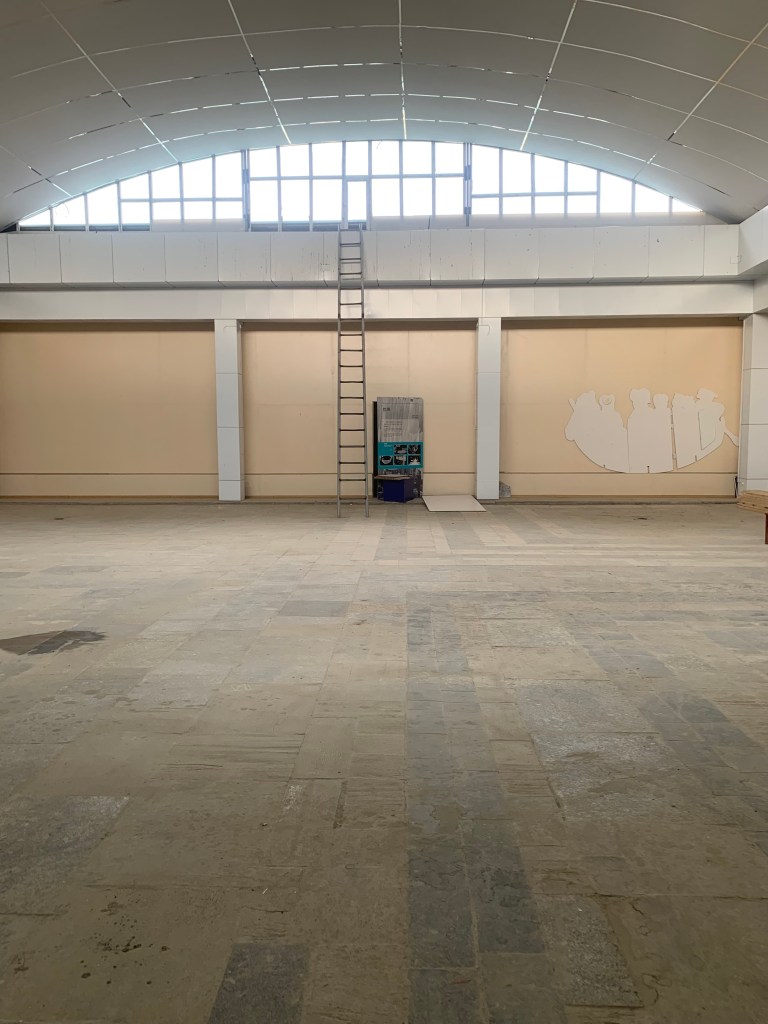
    There are a number of madrasahs, mosques and museums, that are currently being renovated – some will be ready for the season which is due to start in March, but not all. I found it interesting that a museum such as Afrasiab, “the most important museum in Samarkand” (it is a long walk to it from the Bibi-Khanim Mausoleum – about 4 km) was very much open and charging for entry, despite the fact that there were fewer than half exhibits available, workmen drilling and definitely no video explaining the frescoes (needed, as the originals are faint and missing some key parts). The archeological site of the fort (one of the largest in the world) was so muddy and waterlogged, I didn’t need to be told there was little point in going there.

    Afrosiab museum
    The upstairs exhibition

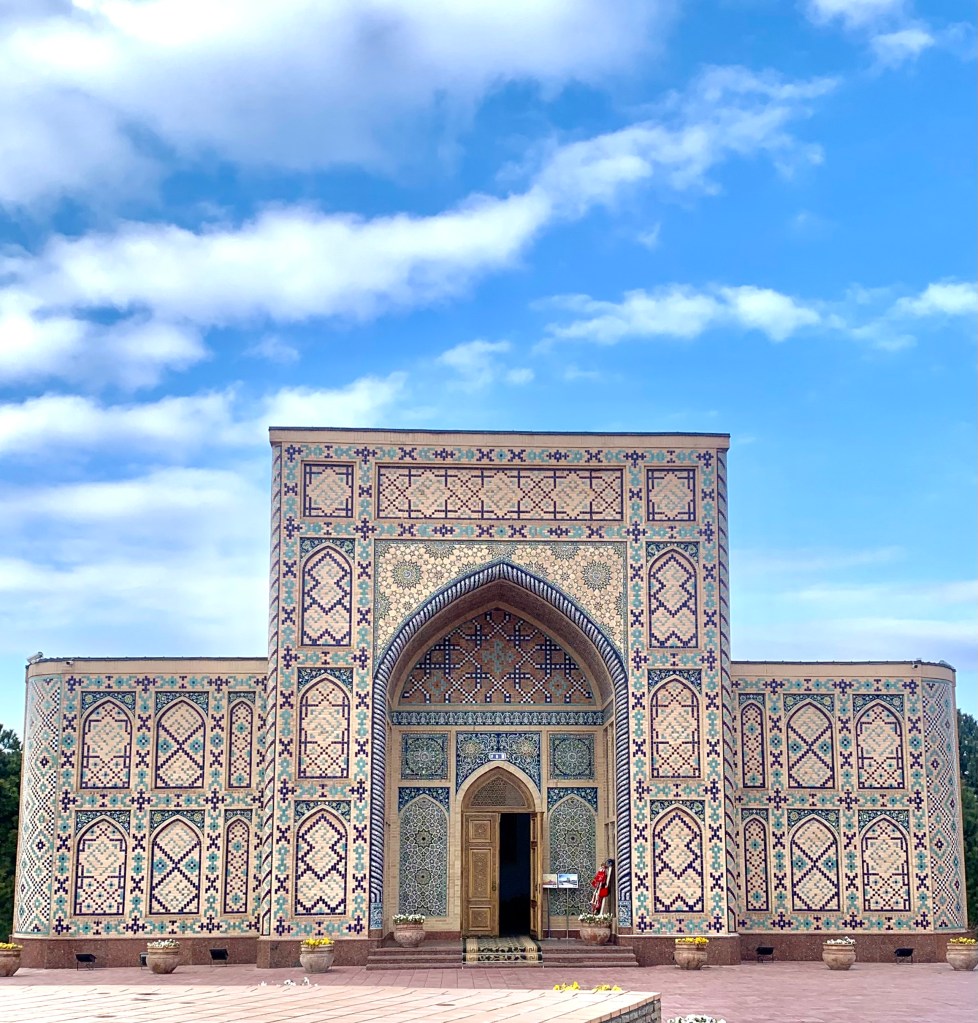
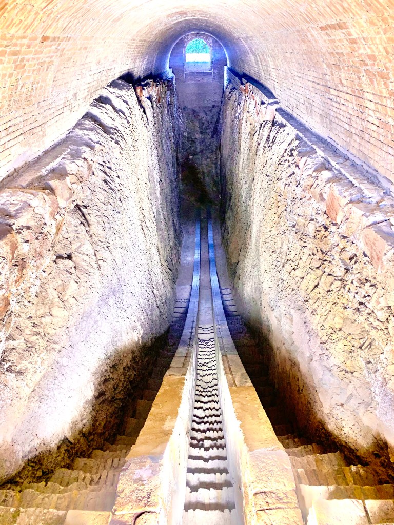
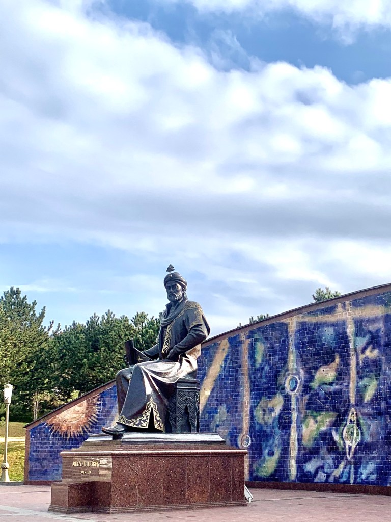
    Ulug Beg was one of Amur Timur’s grandsons, and well favoured (he was given Bukhara and Samarkand, among other bits, as a gift). He is known as the Astronomer King and his observatory, built in the 1420s, provided measurements so accurate that some have not been bettered until the computer age. The one part that has survived the destruction wreaked by fanatics (no change there) in 1449 is a part of the meridian arc. The radius of the sextant had been just over 40m, and the solution to the problem of having a building that could accommodate it without collapsing on itself was to sink the arc into the ground. (The Lonely Planet and Wikipedia provided the information.) One can still see the notches used for the measurements on the metal and it must have been a sight to behold when the sextant and the astrolabe were in place.

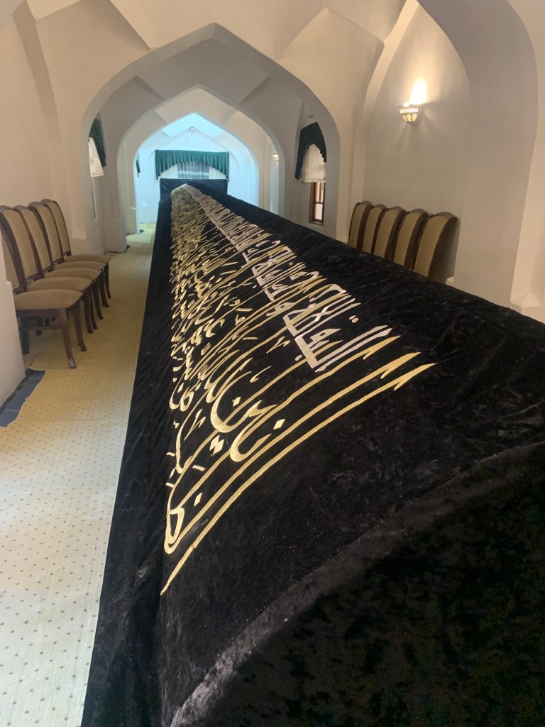
    I can’t help but mention one more mausoleum – that of Daniel, of the lions’ den fame. Samarkand is one of 6 places that has the tomb of Daniel. It is a place of pilgrimage and there is a spring of water below it that is thought by many to be sacred. The legend has it that Daniel’s severed leg (could not find any reference to how it got severed) keeps growing inside his marble tomb . The tomb is currently 18m long and it is said that when the leg reaches it, “the world will surely end”.

  • Tashkent, Uzbekistan

    Jan 23rd, 2024

    The fog lay heavy on Tashkent as the Baku flight landed late on a Friday night. It seemed to be a surprise to everyone, including the 36 pilgrims returning from the Hajj – numerous phones were out videoing and photographing the fog. Fog aside, it makes a wonderful difference that entry into Uzbekistan is now visa free for UK and EU citizens. 

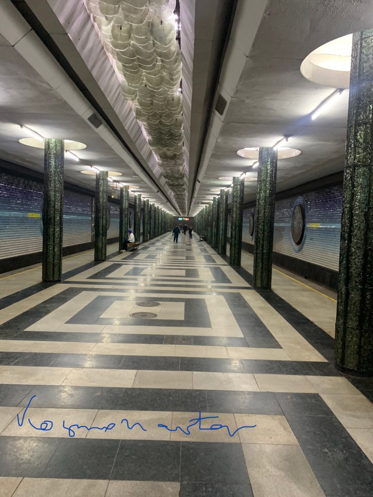
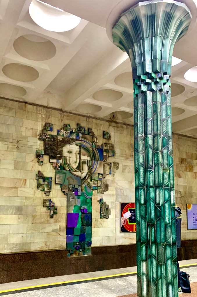
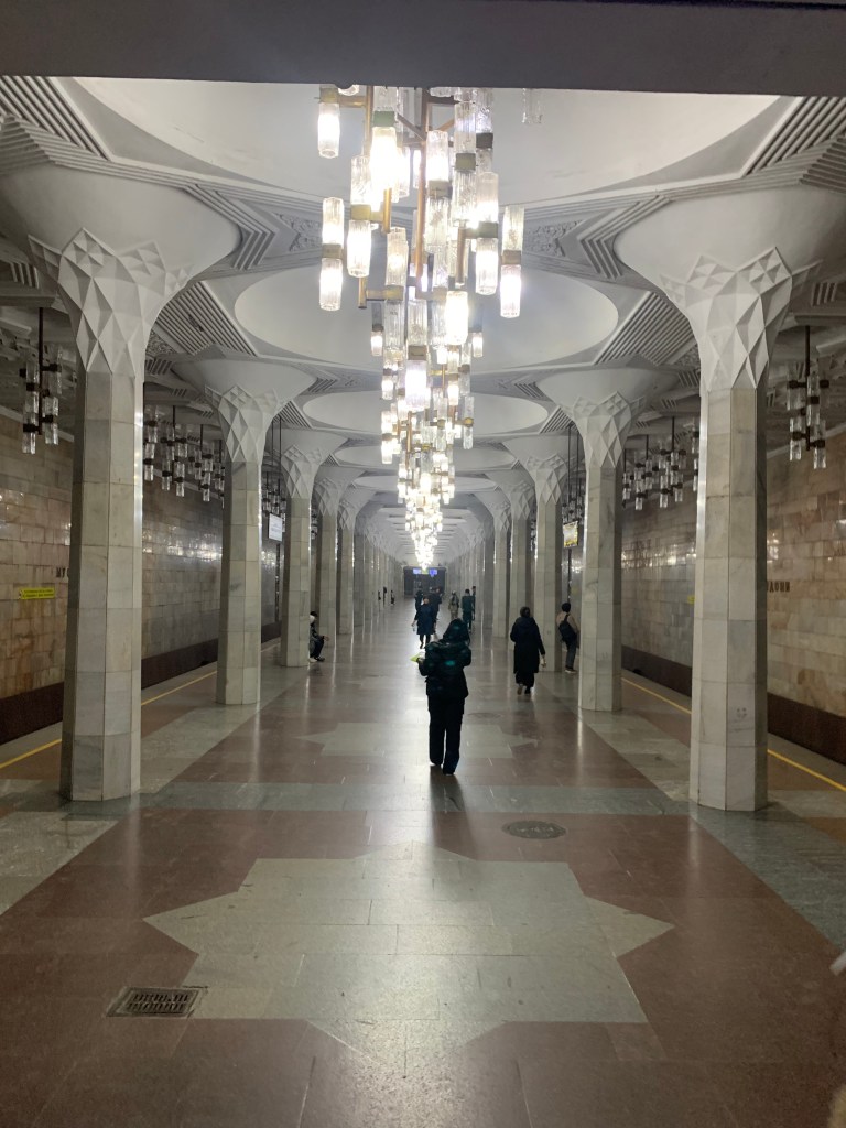
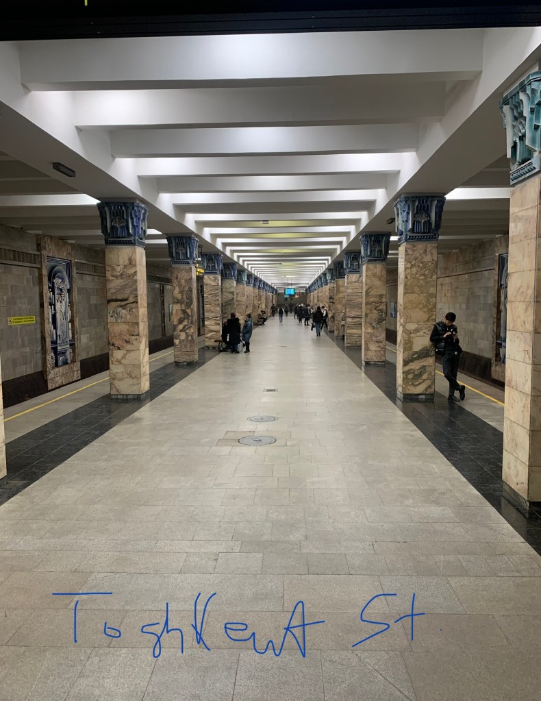
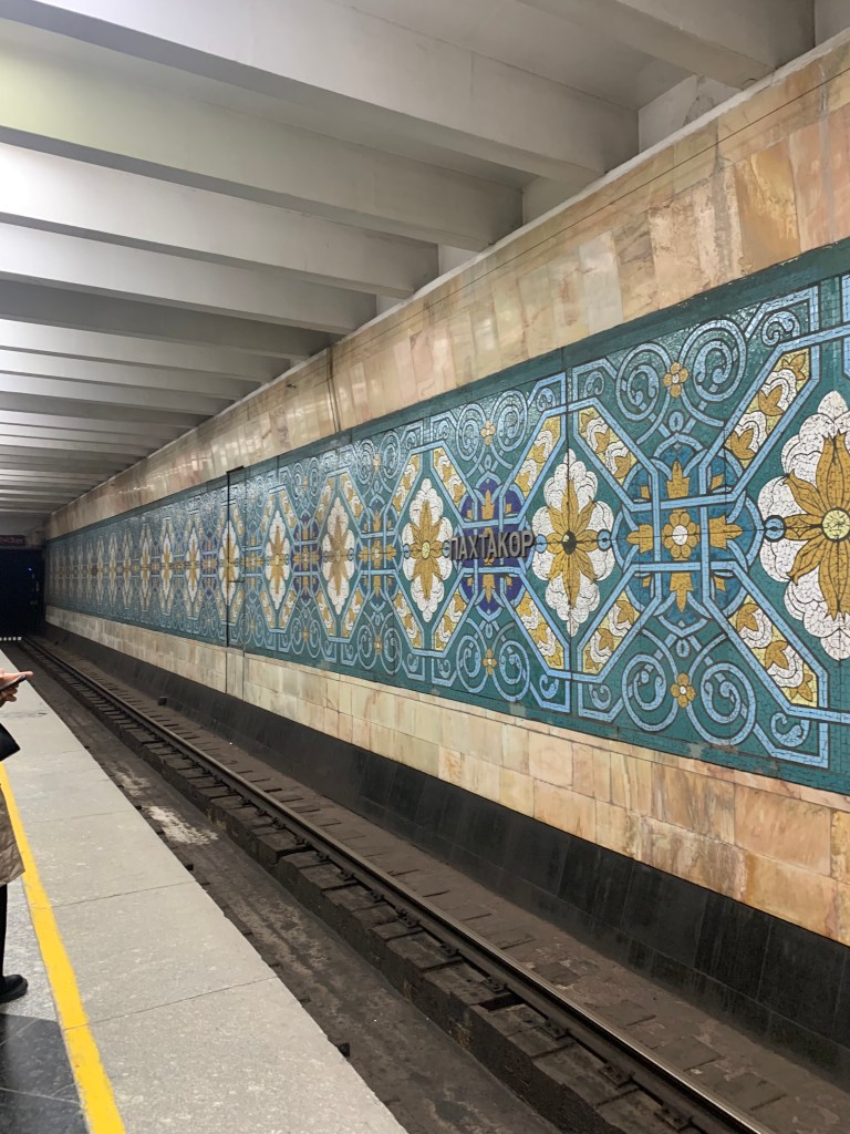
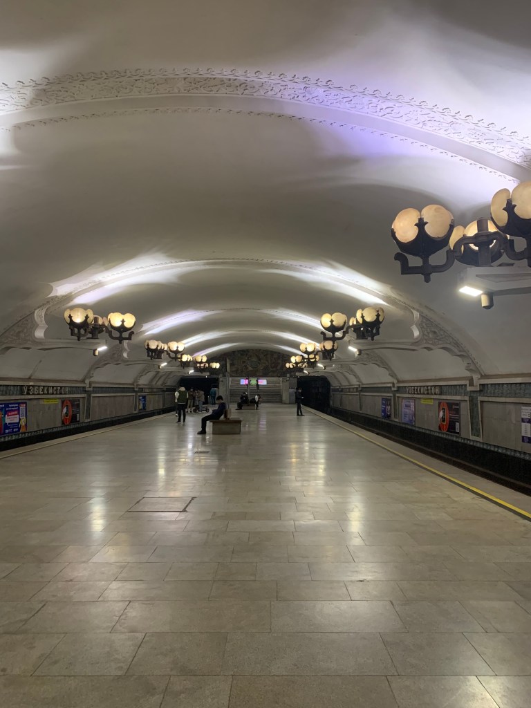
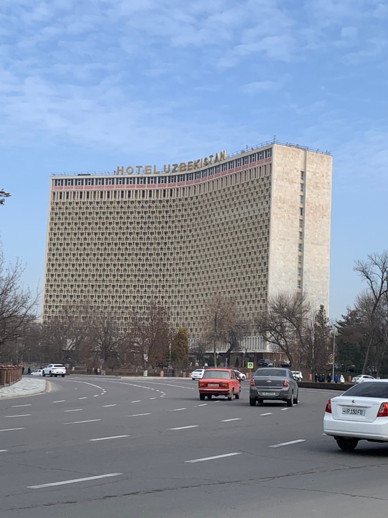
    Staying with friends also makes a difference, the feel of a home rather than the impersonality of a hotel. And the weather has obliged too – it may be January, but the sun has been shining (or squinting through thin clouds) and it feels quite balmy. Having read so much about the Metro, had to go and have a look at a few stations. Tashkent has but recently introduced the Oyster type card (it costs 15000 sum = £1 to purchase, plus what you need to ride) and can be used on the buses as well. Each ride is ridiculously cheap – about 12-14p (cheaper on the card than buying individual tickets). And the stations are magnificent.

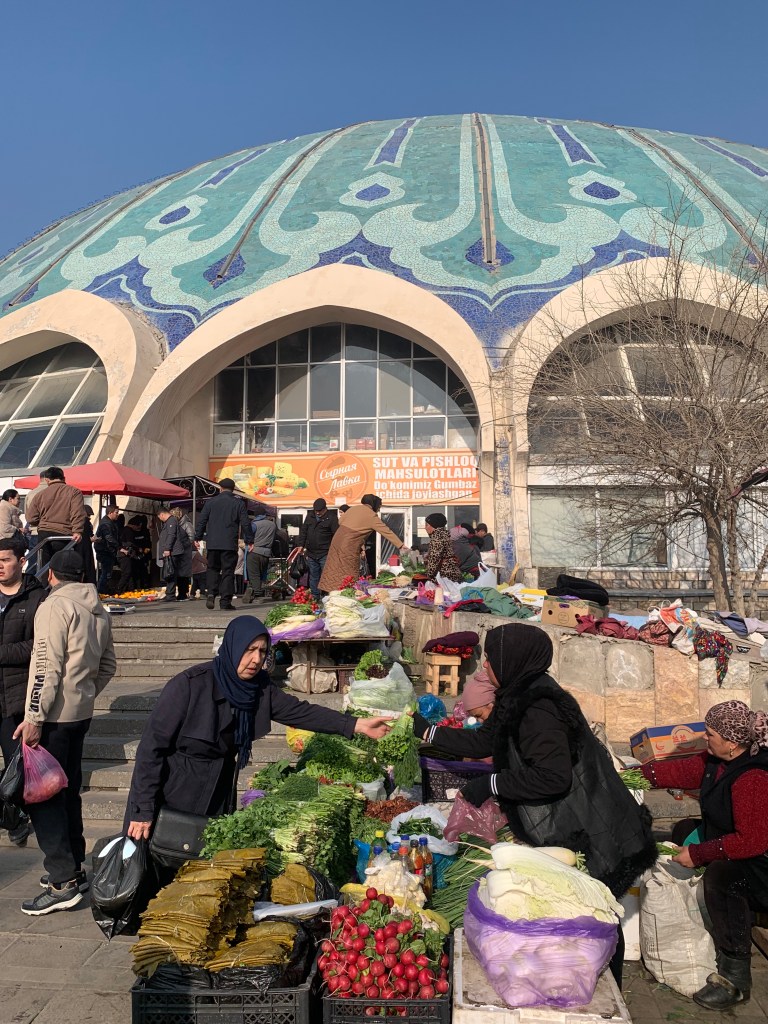
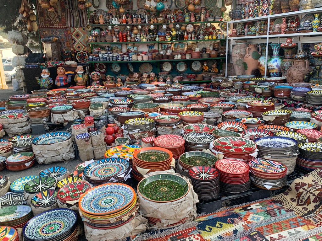
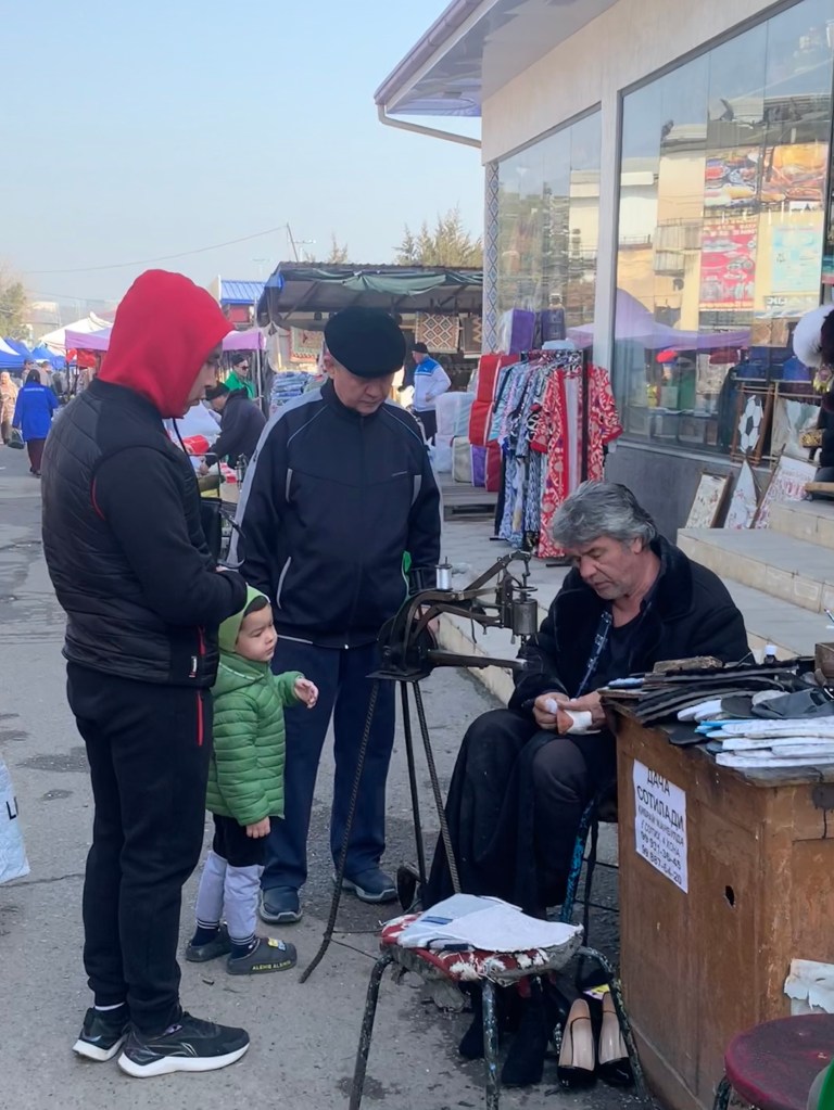
    Tashkent was very much at the centre of the Silk Roads trade from the start and Chorsu market still exemplifies that. It is ENORMOUS, and if you look hard enough, you can probably find everything there, fruit, vegetables, nuts, spices, souvenirs, ceramics, fabrics, shoe repair, knife grinders, gold and silver, fur hats and shoes, meat and eggs, cheese… I still love being able to taste the wares before buying – a few nuts and dry fruits at lunchtime can stave of hunger. :))

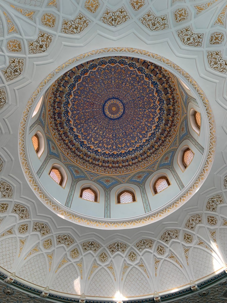
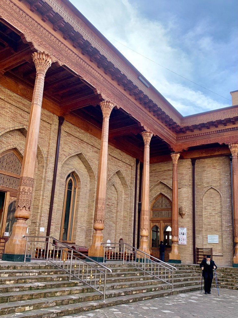
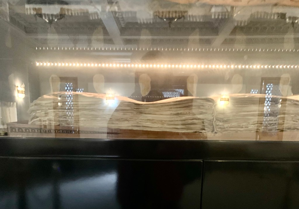
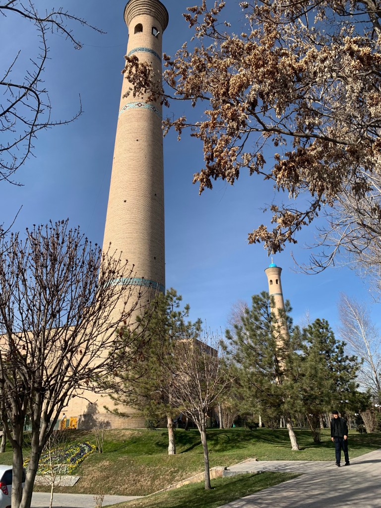
    The Hazrati Imam Complex is impressively grand (the mosque is still one of the largest around) and the area will be even grander once the Centre for Islamic Civilisations is finished. One of the oldest Qurans in the world is kept in the museum nearby, with a number of other Koranic scripts.

    Also tried a local dish, a samsa – an Uzbek pasty. The fillings vary – potatoes, pumpkin, beef or mutton. Delicious and satisfying – the pastry is short, crumbly and moreish. Some good local tea to wash it down with, and all for less than £2.

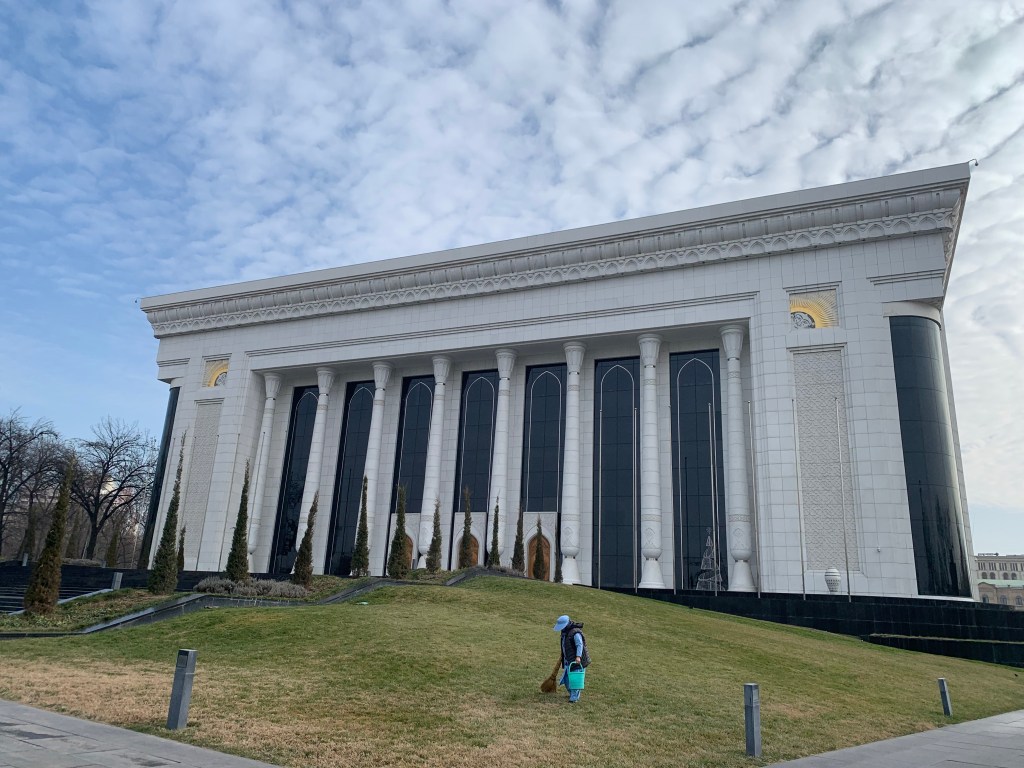
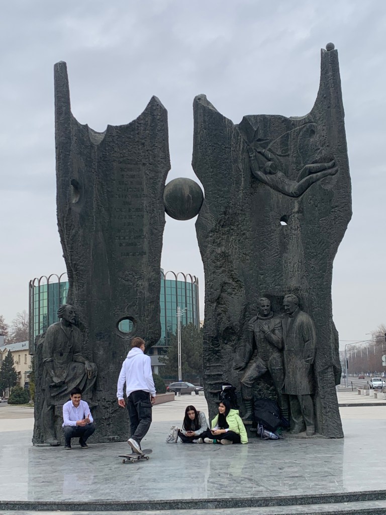
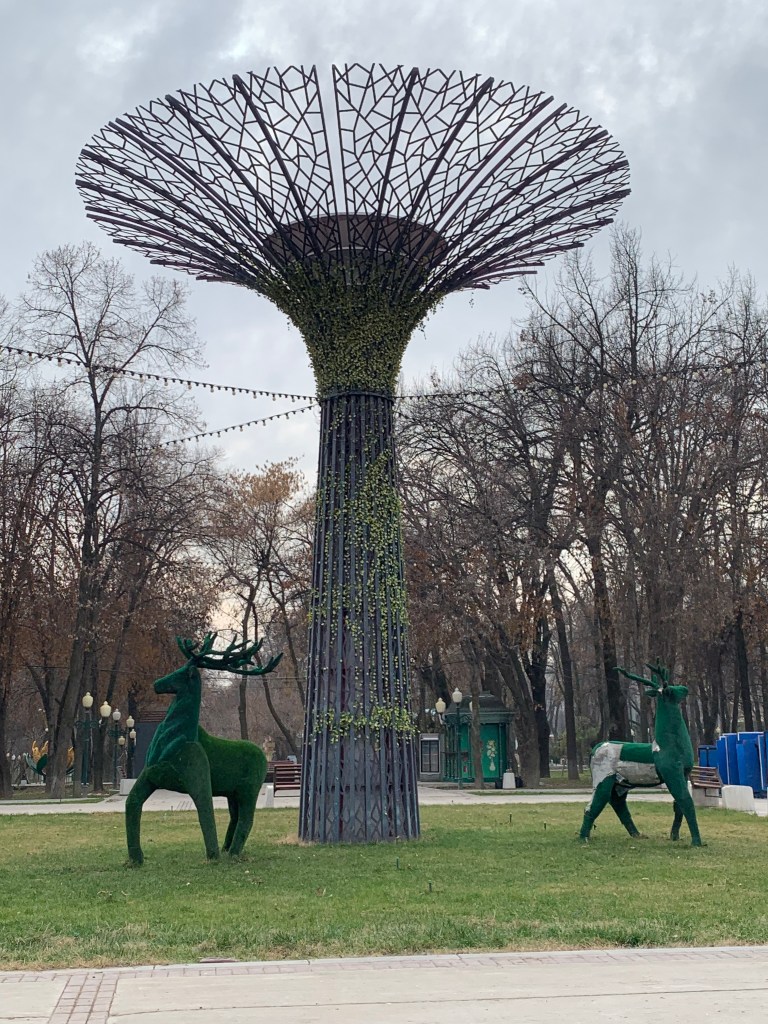
    The city sprawls – the 1966 earthquake, which had flattened most of the town, has also made the town planners decide to build out, not up. There are high rises, but no skyscrapers. The roads are wide, there are parks and recreation areas and plenty of trees. The Amir Timur Square is green, though the trees are very young. There had been a major outcry over the cutting of old trees in 2009, especially large chinars (plane trees) – the protesters called it “the tree genocide”. The wholesale cutting of trees took place suddenly, with no consultation, warning or explanation. When asked, the mayoralty reluctantly explained that it was done as an “aesthetic decoration” of the capital, “to make the city even more beautiful and landscaped.”

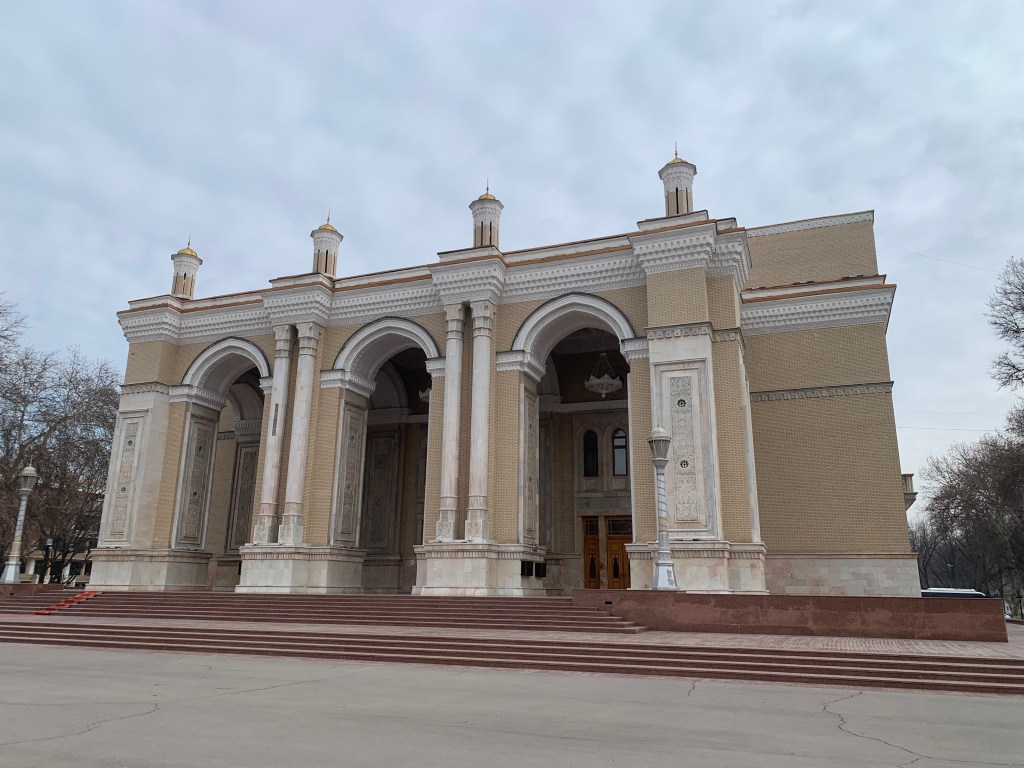
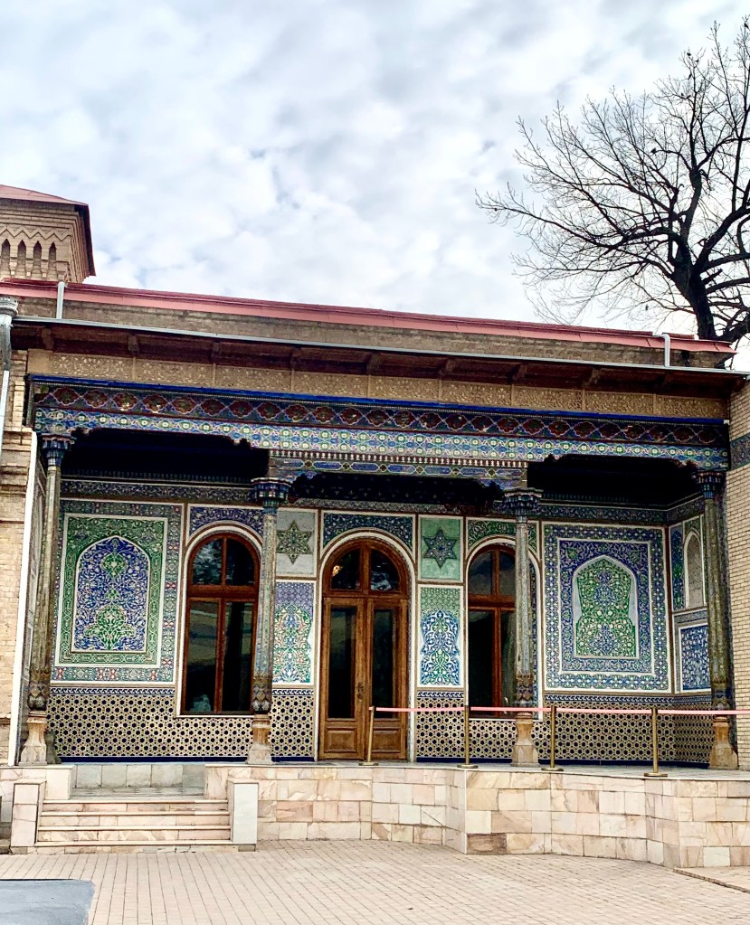
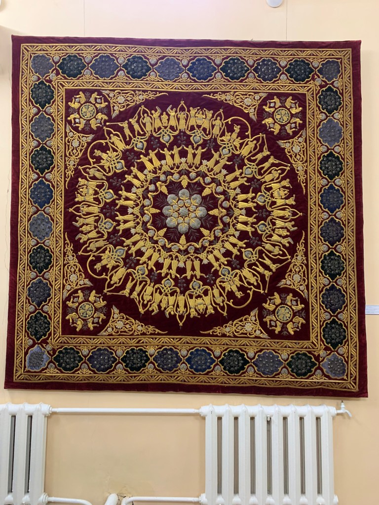
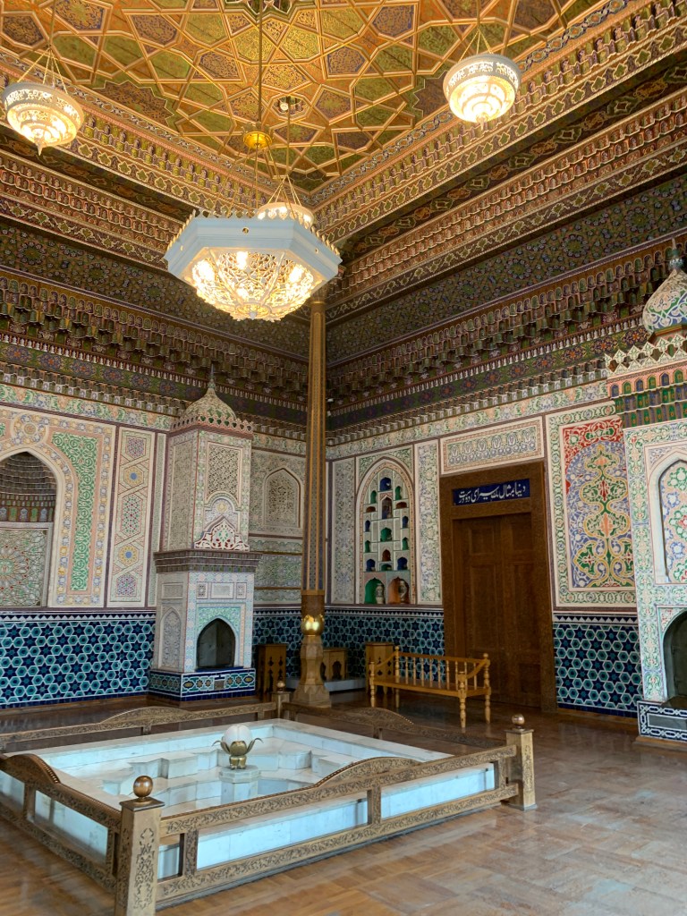
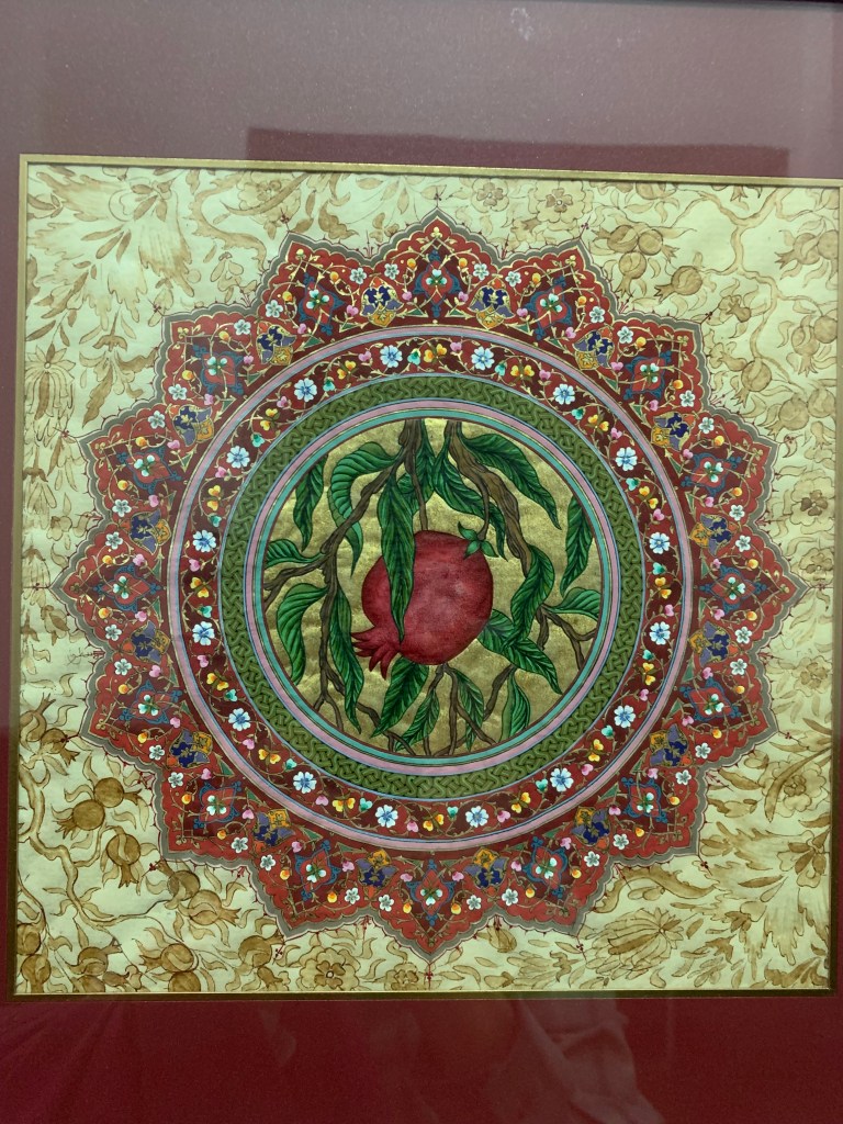
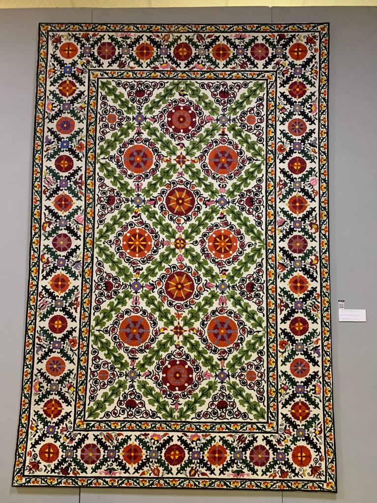
    The Museum of Applied Arts showcases the intricate, painstaking work done in textile, embroidery, wood, metal, musical instruments. The detail is stunning and one can but stare at such dedication, skill and patience.

    And tomorrow – Samarkand.

←Previous Page
1 2 3 4
Next Page→

Blog at WordPress.com.

Loading Comments...
  • Subscribe Subscribed
    • Maribibi_travels
    • Already have a WordPress.com account? Log in now.
    • Maribibi_travels
    • Subscribe Subscribed
    • Sign up
    • Log in
    • Report this content
    • View site in Reader
    • Manage subscriptions
    • Collapse this bar